|
[ UrbanRail.Net ] [ Europe ] [ Americas ] [ Asia ] [ Africa ] [ Oceania ] [ News ] [ Books ] [ Links ] |
|
SAN
FRANCISCO
|
| California . USA |
Click here to enlarge San Francisco urban area or San José urban area!
| Muni
Metro | Cablecars
| Streetcars |
|
|
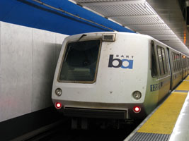
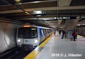
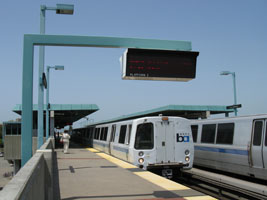
BART
|
|
|
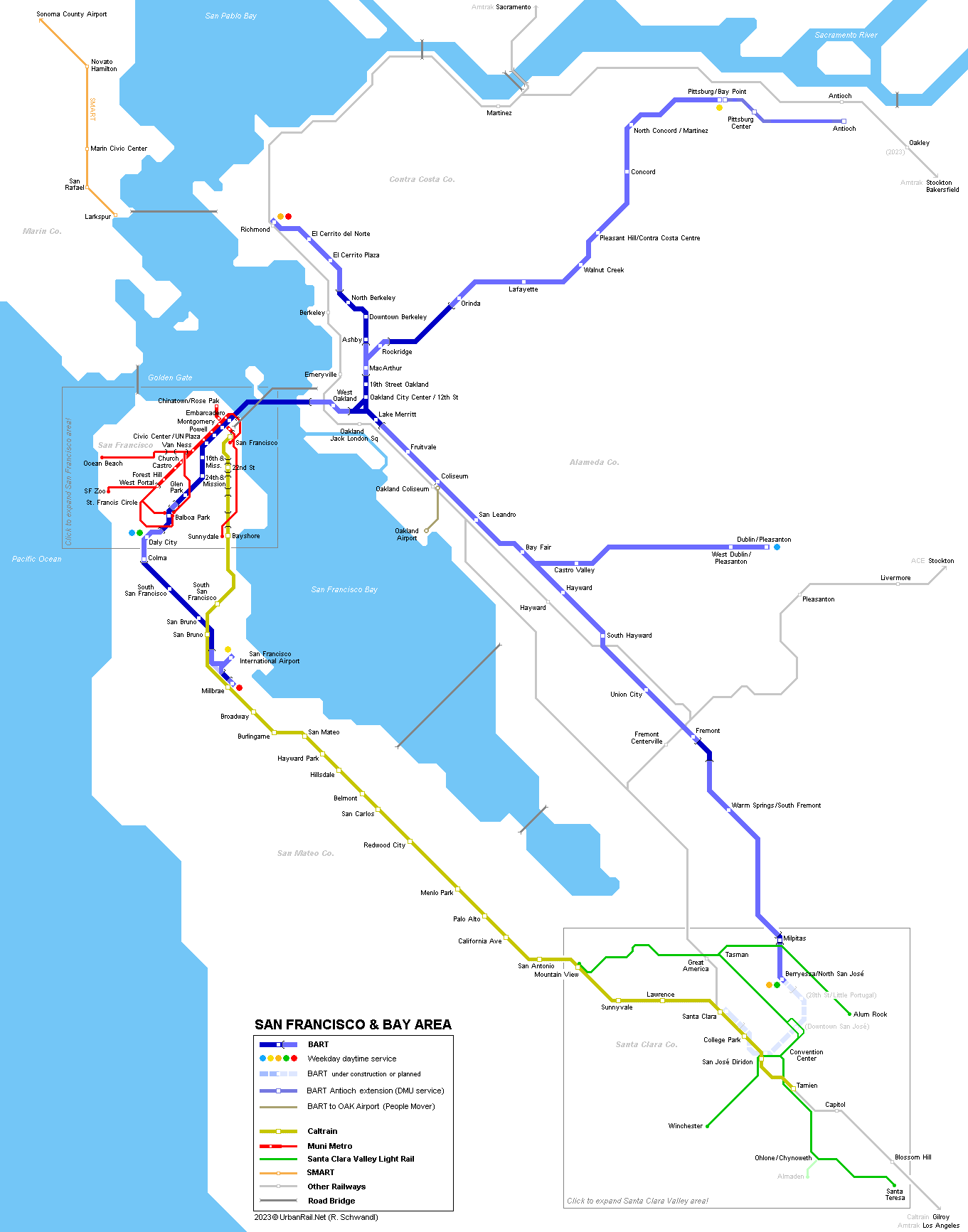
The first BART cars were ordered from the California based Rohr Industries, with later series being delivered by Soferval (Alsthom) and Morrison-Knudsen. BART is totally grade-separated (no level crossings) and runs in ATO mode without any wayside signalling. It has an unusual track gauge of 1,676 mm (5 ft 6 in). The first stretch opened for public service on 11 September 1972 between Oakland and Fremont. In 2017, the entire network has a total length of 182 km long, with 48 stations serving some 3 million people in the area: -
26.5 km runs in subways through urban areas (8.9 km in San Francisco;
8.6 km in South San Francisco/San Bruno; 4 km in Oakland; 5 km in Berkeley); -
14 stations lie on the San Francisco peninsula, and 30 on the East Bay
side; The
BART system is operated 6 lines: Opened on 22 Nov 2014, the "BART to OAK" people mover provides a link between BART's Coliseum station and Oakland International Airport. A ride on the 5.1 km cable propelled system takes 8 minutes, with trains running every 5-20 minutes. Instead of a proper BART extension, the Pittsburg/Bay Point branch was eventually extended to Antioch (Hillcrest Ave) in spring 2018 using diesel multiple units (DMUs). A change of trains is therefore required at a dedicated platform built some 500m east of the Pittsburg/Bay Point station. |
|
|
BART
History
|
|
|
11
Sept 1972 - Oakland (MacArthur) - Fremont (44.8 km, 12 stations) 26 May 2018 - Pittsburg/Bay Point - Antioch (16 km, non-electrified route) |
|
|
BART Projects |
|
|
After BART reached Berryessa in North San José in 2020, the line will eventually reach San José Diridon Station around 2030 and terminate at Santa Clara, adjacent to the existing Caltrain station. The Dublin/Pleasanton branch is planned to be extended by 7.7 km east to Livermore (Isabel Ave).
|
|
|
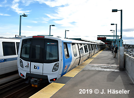
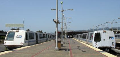
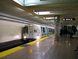
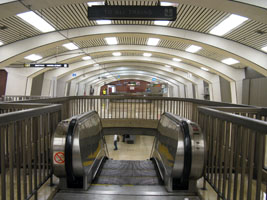
Photos
|
|
|
|
|
|
Photos
|
|
|
|
|
| Other Railways in the San Francisco Bay Area | |
|
- CALTRAIN: 76 km commuter rail line linking San Francisco to San Jose Diridon with some trains being extended south to Tamien or Gilroy. The first electric train ran on 10 Aug 2024 with full electrified service being implemented by 21 Sept 2024. - SMART (Sonoma-Marin Area Rail Transit): Opened on 25 Aug 2017, this initially 69 km DMU-operated line serves the counties on the north shore of the Bay. Extended to Larkspur on 14 Dec 2019, and north from Sonoma County Airport to Windsor on 31 May 2025.
|
|
|
Links
|
|
|
Bay Area Transit Information - Transit 511.org BART - Bay Area Rapid Transit District (Official Site) incl. map BART Silicon Valley > San Jose Extension San Francisco Municipal Railway (MUNI Metro) California High Speed Rail (Project Website) San Francisco County Transportation Authority BART at Wikipedia San Francisco Transit Page at New York Subway Resources (incl. everything about BART & Muni Metro) Jon Bell's San Francisco Page incl. photos Transbay Transit Center (Project Website) UrbanRail.Net > BART Station by Station Gallery
|
SUBWAYS
& LIGHT RAIL Click here for more info! |
|
|
|
2007 © Robert Schwandl (UrbanRail.Net)