| METRO | |
|
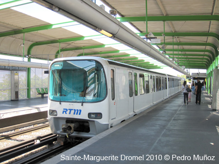
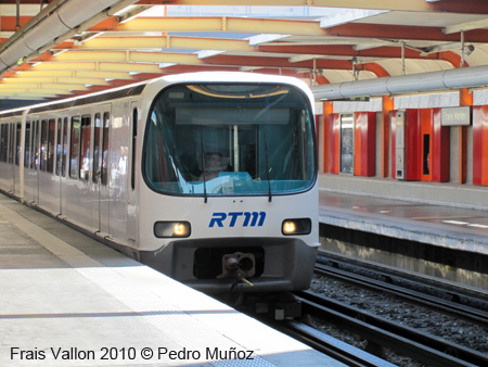
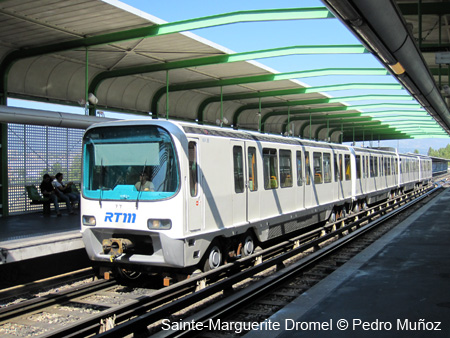
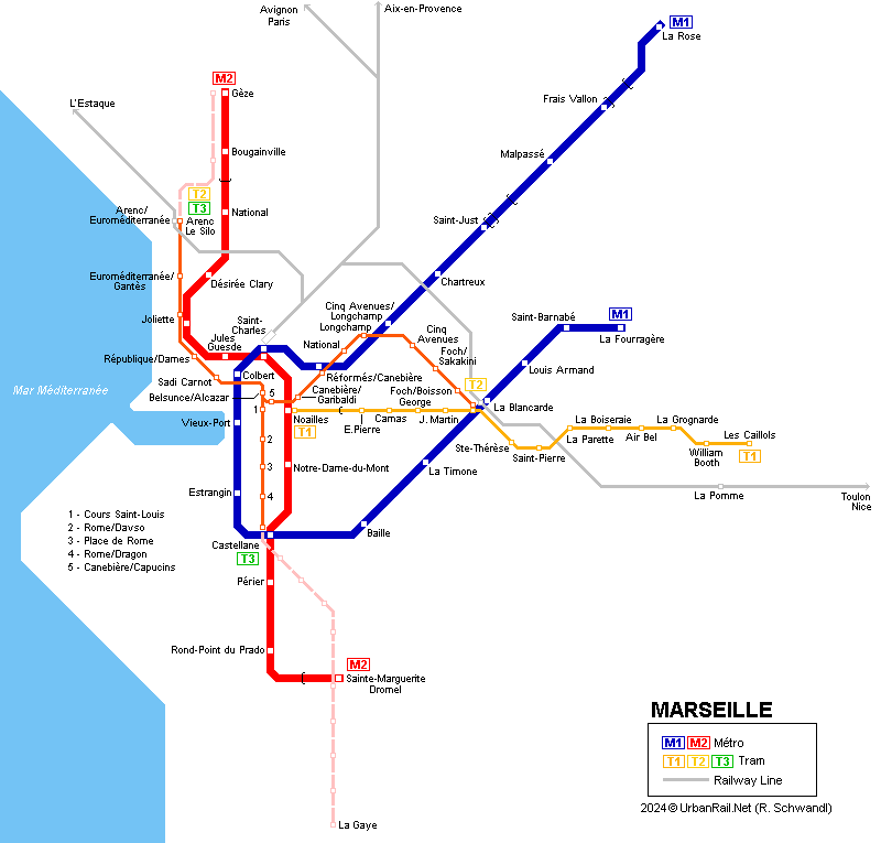
The metro network consists of two rubber-tyred lines (pneu - like Lyon and some Paris lines), with a total length of 21.8 km (18.1 underground):
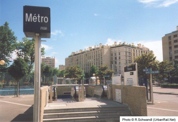
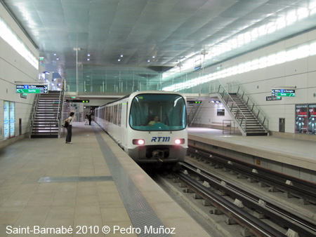
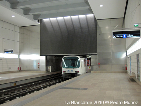
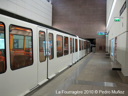
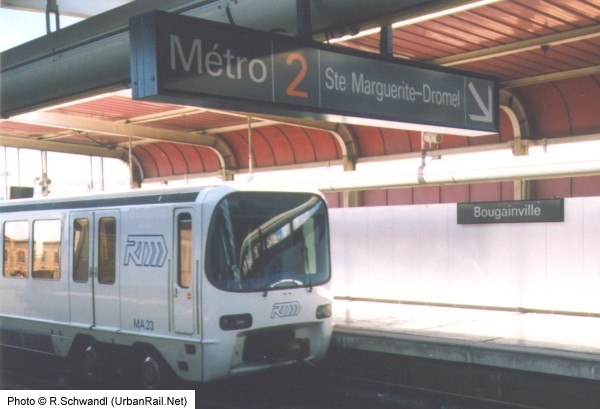
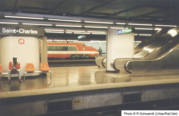
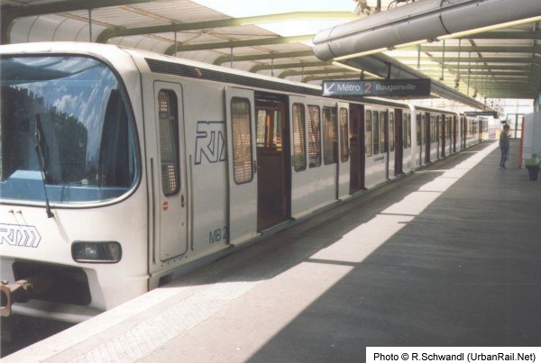
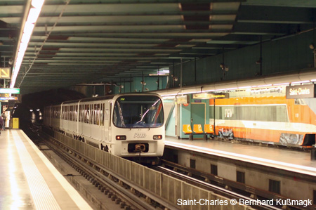
Stations usually have a very functional design, some are decorated thematically (for example, St. Charles - Railway Station shows a TGV high speed train on one side and a 19th century steam train on the other; Noailles shows old model trains, trams and trolleybuses; Notre-Dame du Mont has huge vegetables painted on the walls showing the way to the nearby market). There are two transfer stations - at Castellane both lines cross perpendicularly with a short walk and an escalator between Lines 1 and 2. Saint-Charles (Central railway station) appears to be of the cross-platform interchange type, but there is an island platform for Line 1 on the inner tracks, and two side platforms for Line 2 on the outer tracks, which means that passengers have to run up and down the stairs in any of the possible transfer options! Apart from this inconvenience stations have no lifts, although some stations have escalators. Information
panels are good and easy to read. On the trains, stations are not announced,
neither acoustically nor on a panel. There is an arrow showing which
side to get off, but usually it's not illuminated before the train gets
into the station. |
|
| Line M1 | |
|
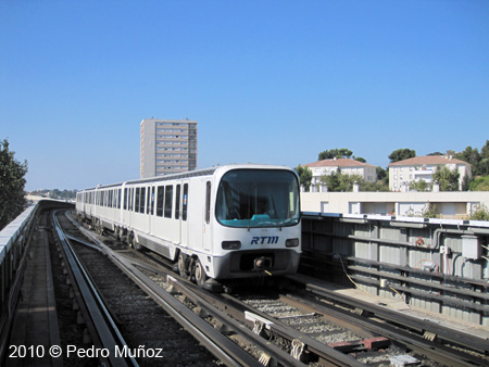
12.9 km, 18 stations - From a point halfway between Saint Just and Malpassé to Frais Vallon the line runs in the middle of a highway, after a short tunnel it continues on a viaduct to the terminus at La Rose. The rest of the line is underground. 22-11-1977:
La Rose - Saint-Charles
(6.3 km) |
|
| Line M2 | |
|
9.8 km, 13 stations - This line runs on the surface at both ends, with the rest being underground. 03-03-1984:
Castellane
- Joliette (3.3 km) |
|
| Photos | |
|
|
|
|
|
|
| TRAM | |
|
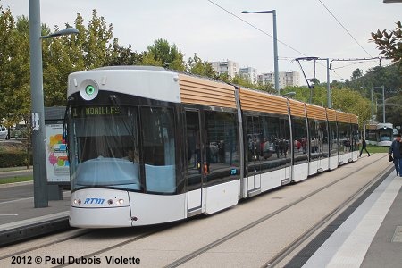
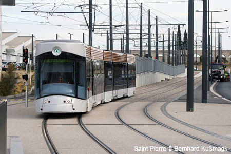
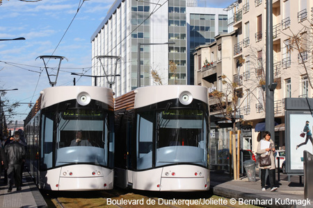
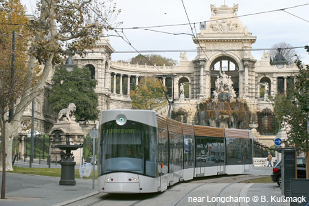
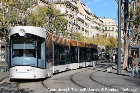
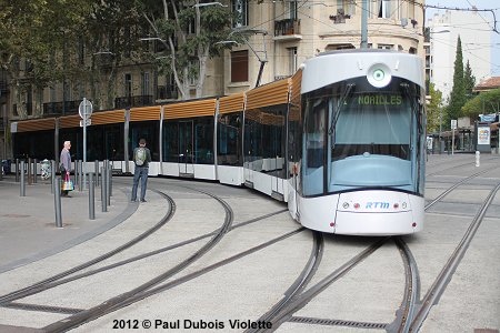
Marseille was one of only a few French cities to maintain part of its former tram network, a single line which was shown on metro maps as line 68, a standard tram running in a tunnel only from its terminus 'Noailles' (transfer to métro) to its first stop 'Bruys' (now Eugène Pierre) on Bd. Chave. It was closed in December 2003 to be integrated into the future tram line T1 to La Blancarde and Les Caillols. The new tram has opened in stages since 2007. A third line was added on 30 May 2015, sharing the northern part with line 2 and serving a new 1.2 km section through the city centre along Rue de Rome. -
18.7 km 07 Jan 2026: T3 Arenc – Capitaine Gčze (1.6 km) & Castellane – La Gaye (4.4 km) |
|
|
|
|
| Links | |
|
Le Pilote (RTM & other transit) Marseille Metro & Tramway (RTM) Métro de Marseille and Tramway de Marseille at Wikipedia.fr Read your webmaster's impressions of the Marseille urban rail systems after a visit in March 2014 |
|
| Books | |
|
|
|
|
|