|
Christoph
Groneck: METROS
IN FRANKREICH / METROS IN FRANCE. Paris, Lyon, Marseille, Lille, Toulouse,
Rennes, Rouen & Laon. - Aug. 2006, Robert
Schwandl Verlag, ISBN 3 936573 13 1 (More
info)
Mark
Ovenden: Paris Metro Style: In Map and Station
Design - Nov. 2008, Capital Transport, London, ISBN
978-1854143228 - Great books with hundreds of original
maps and loads of photos.
- Nov. 2008, Capital Transport, London, ISBN
978-1854143228 - Great books with hundreds of original
maps and loads of photos.
Arnold
Delaney: PARIS BY METRO. An Underground History.
- 2006, 100 p., Interlink
Publishing Group, ISBN 1566566460 - explains origin of all station
names with several colour photos
Larry
Yust: METRO.
- Oct. 2004. 136 p., Gingko Press, ISBN: 1584231742 Spectacular photos
of Paris metro stations
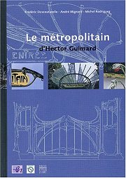 F.
Descouturelle, A. Mignard, M. Rodriguez: Le Métropolitain d'Hector
Guimard . -
Oct. 2003, 152 p., Somogy, ISBN 2850566691 F.
Descouturelle, A. Mignard, M. Rodriguez: Le Métropolitain d'Hector
Guimard . -
Oct. 2003, 152 p., Somogy, ISBN 2850566691
Jean-Pierre
Rigouard: Le Métro de Paris. Tome 2: Les lignes complémentaires
(Lignes 7 - 13).
- Feb. 2003, 128 pages, Alan Sutton; Collection : memoire en images, ISBN
2842538471
Jean-Pierre
Rigouard: Le Métro de Paris. Tome 1: Les premières lignes.-
2002, 128 pages, Alan Sutton ISBN 2842537777
Gaston Jacobs:
Le métro de Paris. Un siècle de matériel roulant.
- 2001, 223p. La Vie du rail , ISBN 2902808976
Gérard
Rolland: Stations de métro Le
dictionnaire des 366 stations. - Christine
Bonneton Éditeur, Paris, 2003 (new edition). - Explains origin of
station names.
Jean-Paul
Carminati: Dictionnaire imaginaire des stations de métro
Clive Lamming:
Paris Ferroviaire.
- 2002, Parigramme, ISBN 2840962926
Clive Lamming:
Paris Tram.
- 2003, Parigramme, ISBN 2840961962
Jean Orselli:
Les nouveaux tramways: Comment ne pas rater son
tram.
- 2004, Paradigme, Collection: Transports et communication, 268 p., ISBN
2868782388
Christoph
Groneck: Neue Straßenbahnen in Frankreich.
- 2003, 167p., Ek-Verlag, ISBN 388255844X
Plotkin,
Susan L.: The Paris Metro - A Ticket to French History.
- ISBN 0738852473, April 2001
Roland,
Gérard: PARIS METRO RETRO
- C.
Bonneton, 2001. ISBN 2862532797
This small book (pocket sized, printed on glossy paper) is a story of
the Metro at the beginning of the 20th century through old postcards (building,
trains, stations, ...) with comments by the author.
Hardy, Brian:
PARIS METRO HANDBOOK.
- Capital Transport, new 1999 edition.
Lamming,
Clive: MÉTRO INSOLITE.
- Parigramme, Paris, 176 p., many photos (March 2001). ISBN 2840961903
Various:
Le kiosque des noctambules, une oeuvre de Jean Michel Othoniel.
- Flohic, Dec. 2000, ISBN 2842341082, 80 pages - It' s the story of the
new metro entrance called "Le Kiosque des Noctambules" at station Palais-Royal.
Chansons
Metropolitains. (CD) -
48 songs from 1900-2000 related with the Métro (leaflet included).
Feb. 2001
Jean Tricoire:
Un
Siècle de Métro en 14 Lignes
- Best
book on Paris Metro
Jean Tricoire:
Le
métro de Paris: 1899-1911 : images de la construction
Game/Michaud:
Métro histoires illustrees des stations
Satoshi
Kako: Les travaux du métro
Sheila Hallsted-Baumert,
a.o.: Métro-cité : le chemin de fer métropolitain à
la conquête de Paris, 1871-1945
Jean-Claude
Demory: Le métro de chez nous
Berton,
Claude and Alexandre Ossadzow: FULGENCE BIENVENÜE et la construction
du Métropolitain de Paris.
- Presses de l'école nationale des Ponts et chaussées, Paris,
1998.
Bruno Latour:
ARAMIS ou l'amour des techniques.
- La Decouverte (Textes a l App); ISBN 2707121207. Explains a former MATRA
project of a small automatic metro tested in Paris in the 1980's.
<<
Top of page
More
Metro Books >>
|
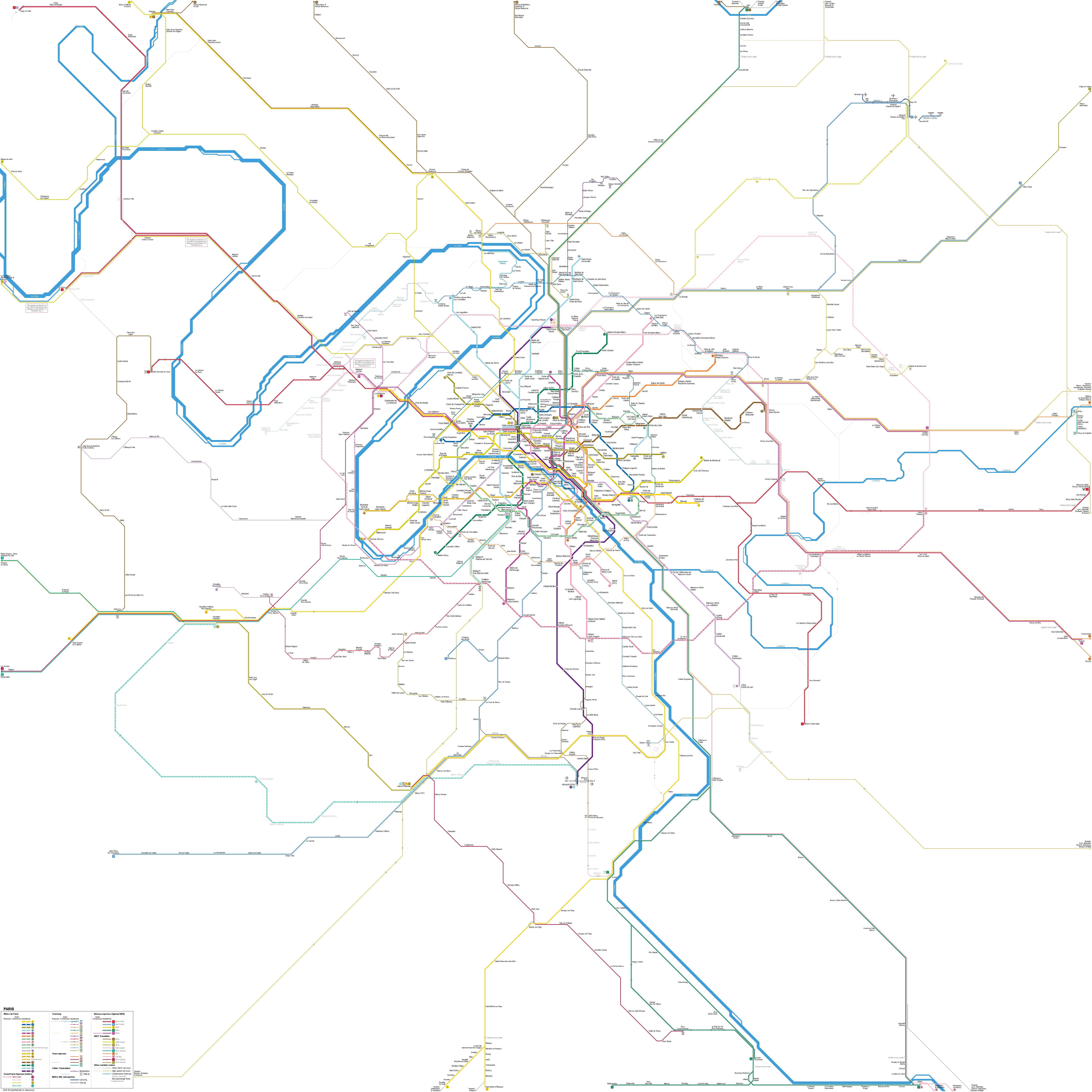
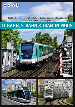
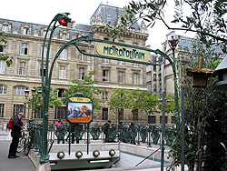
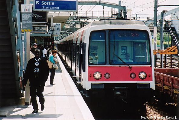
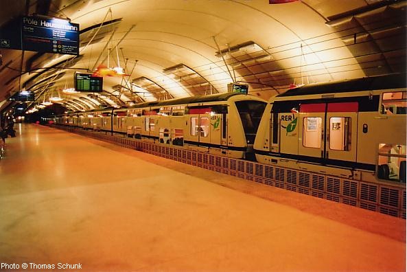
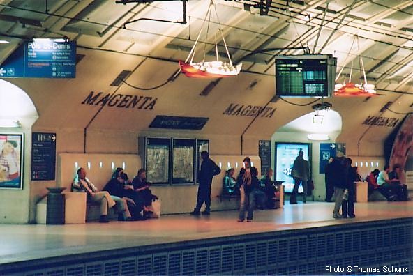
 Paris,
the capital of France (2.2 million inh., 6.7 million n Greater Paris and
10.8 million in Ile-de-France), is one of Europe's metro flagships. After
London (1863), Glasgow and Budapest (both 1896) this is the continent's
fourth oldest metro system and probably the densest.
Paris,
the capital of France (2.2 million inh., 6.7 million n Greater Paris and
10.8 million in Ile-de-France), is one of Europe's metro flagships. After
London (1863), Glasgow and Budapest (both 1896) this is the continent's
fourth oldest metro system and probably the densest. 

