|
[ UrbanRail.Net ] [ Europe ] [ Americas ] [ Asia ] [ Africa ] [ Oceania ] [ News ] [ Books ] [ Links ] |
|
TORONTO
|
| Ontario . Canada |
Click
on map to expand to full size!![]()
|
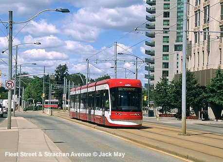
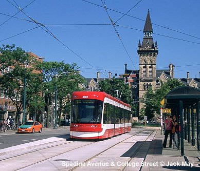
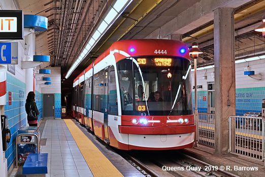
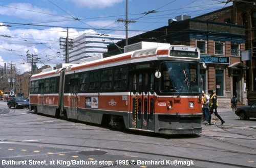
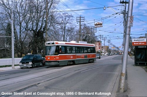
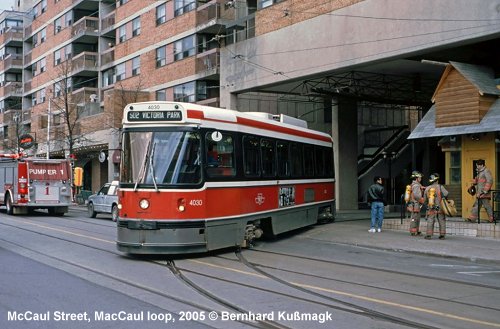
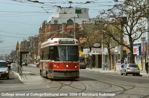
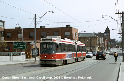
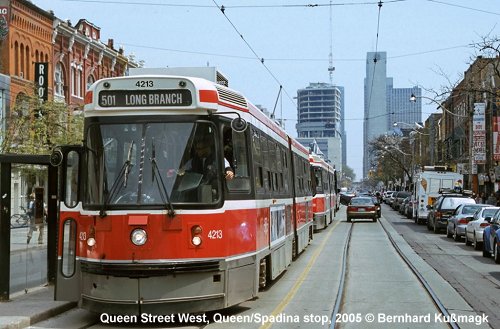
STREETCAR
|
|
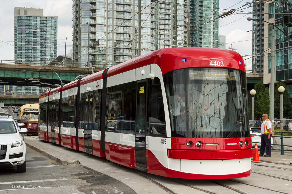
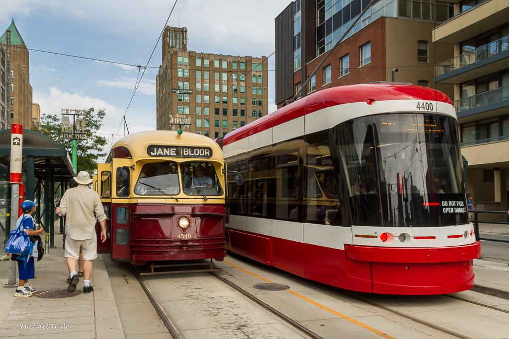
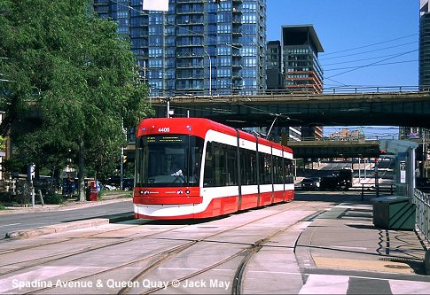
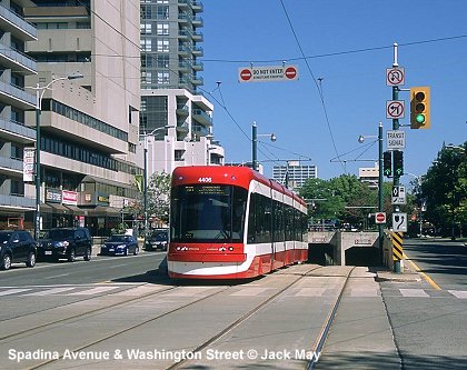
With more than 5 million inhabitants in the metropolitan area, Toronto is the largest city in Canada. Besides three Subway lines and one driverless light metro, Toronto boasts North America's most extensive streetcar system: -
opened 1891 (electric service) 19 June 2016: line 514 (now 504A) introduced with 400 m new section along Cherry St from King Street to Distillery Loop |
|
Projects |
|
The Eglinton Crosstown LRT, now under construction, will be a largely underground east-west corridor, running mostly along Eglinton Road and integrating the current Scarborough RT line. In Mississauga, Toronto's western neighbour, the 20 km Hurontario light rail transit (LRT) is planned. [Project Website] |
|
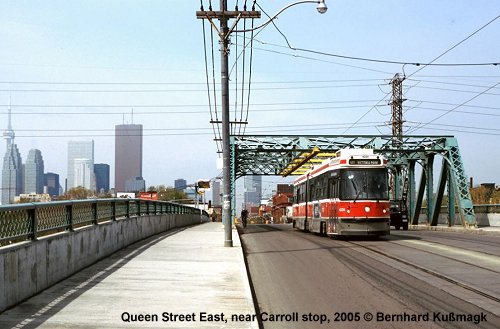
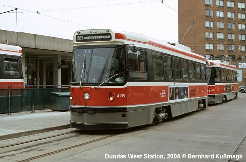
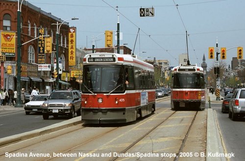
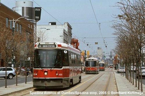
Photos
|
|
|
|
|
|
|
|
|
|
Links
|
|
City of Toronto - TTC Page (Offcial Site) GO Transit - Toronto Area Commuter Rail Home Page Metrolinx - Ontario Transport Planning Authority James Bow's The Transit Toronto Website - Subways & Streetcars incl. Sheppard Subway Extension and Eglinton West Subway project Toronto Transit at nycsubway.org Toronto's Streetcar System at Wikipedia Steve Munro discusses Toronto transit issues |
|
|
2012 © Robert Schwandl (UrbanRail.Net)