|
[ UrbanRail.Net ] [ Europe ] [ Americas ] [ Asia ] [ Africa ] [ Oceania ] [ News ] [ Books ] [ Links ] |
|
KYOTO
|
| Japan |
Click
on map to expand to full metropolitan rail network!![]()
|
|
|
SUBWAY
|
|
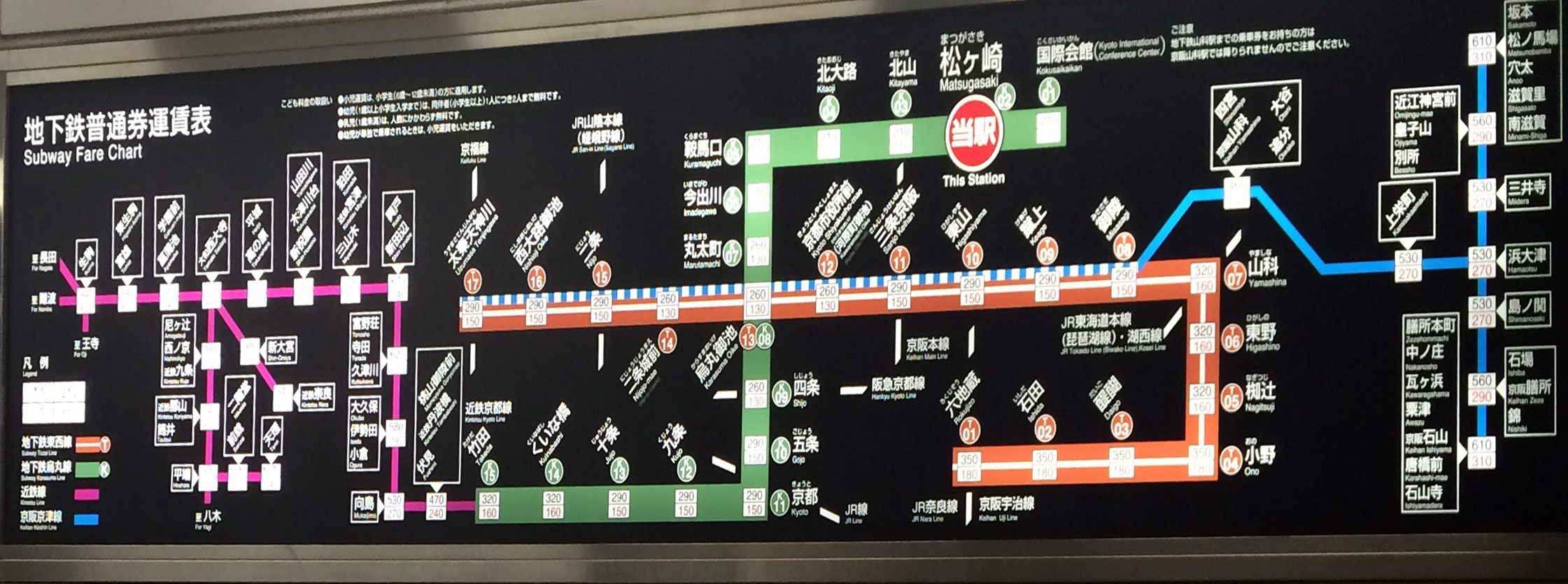
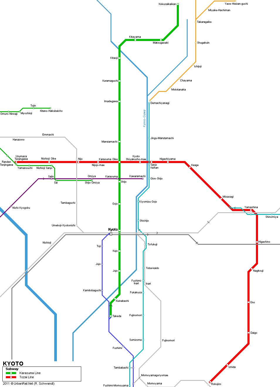
The Kyoto Subway is operated by Kyoto Municipal Transportation Bureau. In addition to the two subway lines there is a local north-south line, called Keihan Line, which runs underground along the Kamo River in the center of the city [Demachiyanagi Marutamachi Sanjo (interchange with Tozai subway line) Shijo Gojo Schichijo and then on to Osaka]. There is also another S-Bahn type line called Hankyu Kyoto Line which runs east-west underneath Shijo-dori street in downtown Kyoto. The western districts of the city are served by Randen, a light railway operated by Keifuku Electric Railroad.
|
|
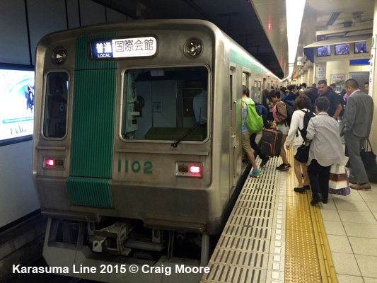
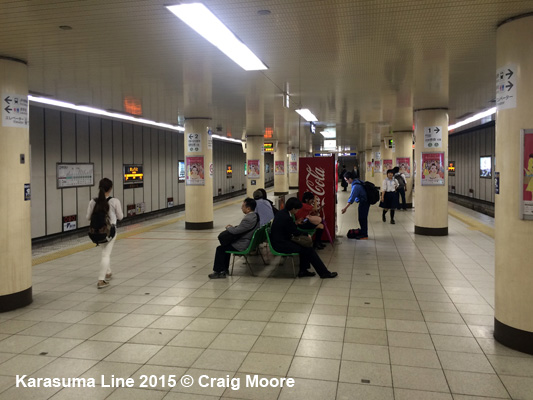
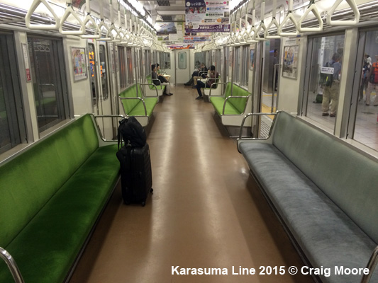
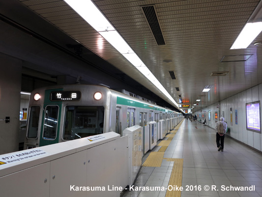
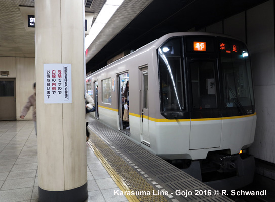
Karasuma
Line
|
|
The Karasuma Line (13.8 km) is connected to the Kintetsu Kyoto Line at its southern terminus Takeda with trains running through as far as Kintetsu Nara and Kintetsu trains running through the city on Karasuma Line tracks. 01
April 1981: Kyoto - Kitaoji (6.6 km) |
|
|
|
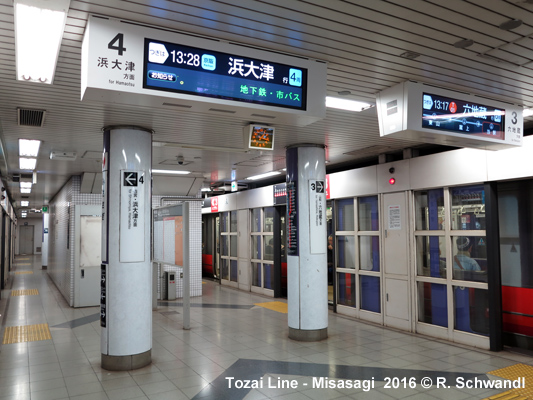
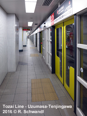
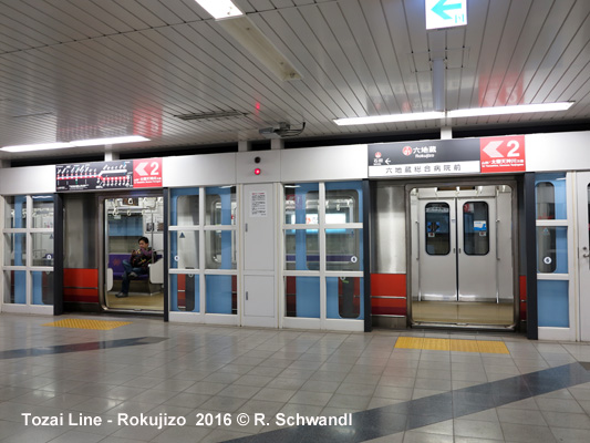
Tozai
Line
|
|
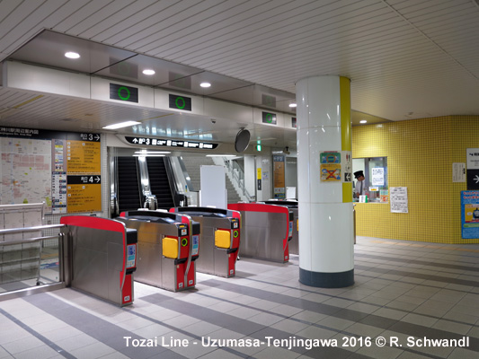
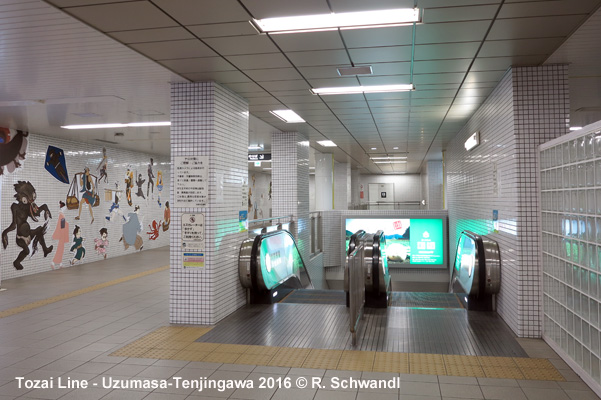
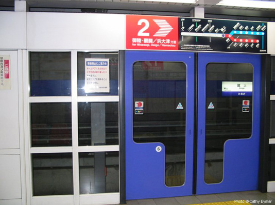
(17.5 km) - On the Tozai Line, some trains of the Keihan Railway (Keihan Keishin Line) from Hamaotsu run on subway tracks between Misasagi and Uzumasa-Tenjingawa. Actually the middle section between Keihan-Sanjo and Yamashina was built by the Keihan Electric Railway for shared use with the subway and to abandon a former street running section. 12
Oct 1997: Nijo - Daigo (12.7 km)
|
|
|
|
Projects |
|
On the western end, the Tozai Line may eventually reach Rakusai new town (10 km). The Karasuma Line might be extended from Takeda to Rakunan new town. |
|
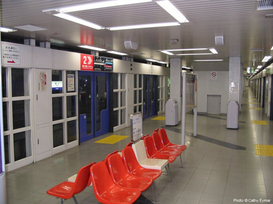
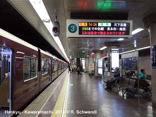
Photos
|
|
|
|
|
|
|
|
Links
|
|
Kyoto City Bus and Subway Guide (in English) (official site) Kyoto Municipal Transportation Bureau Kyoto Subway at Wikipedia Subway Info in Japanese with map Mark Zirnheld's Japon, L'Empire du Rail - Kyoto Subway Kyoto Tramway (Randen) at UrbanRail.Net BLOG: Read your webmaster's impressions of Kyoto's Subway (May 2016)
|
| Book |
|
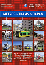
METROS & TRAMS in JAPAN - Vol. 3: West & South Osaka - Kyoto - Kobe - Okayama - Hiroshima - Kitakyushu - Fukuoka - Nagasaki - Kumamoto - Kagoshima The third volume of our trilogy about urban rail systems in Japan covers all the systems in West and South Japan, from the metros in Osaka, Kyoto and Fukuoka to the different special transit systems like monorails and people movers, and to the numerous tramways, including Japan's largest network in Hiroshima. As usual, the book is illustrated with a large number of recent colour photos and detailed network maps.
Text: German & English; 160 pages, ca. 300 photos; Detailed
network maps |
|
|
2007 © UrbanRail.Net by Robert Schwandl.