 |
|
| System | |
|
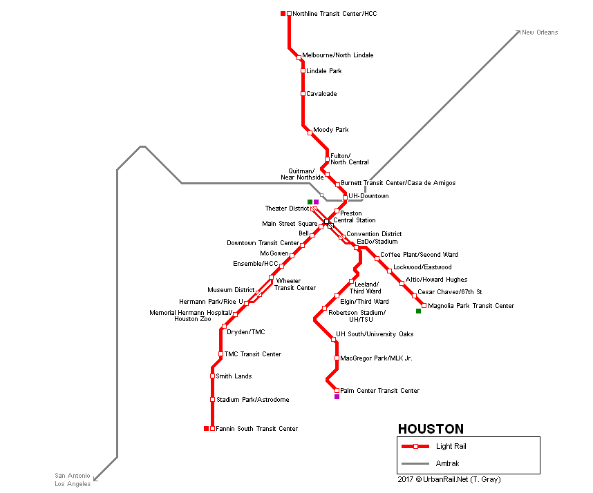
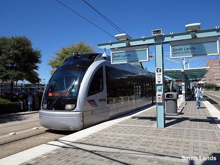
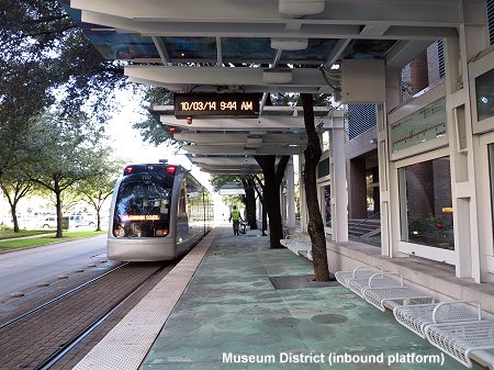
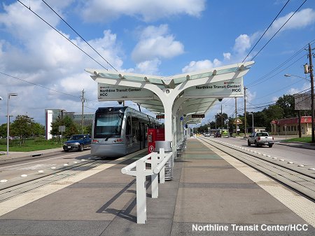
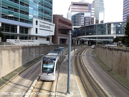
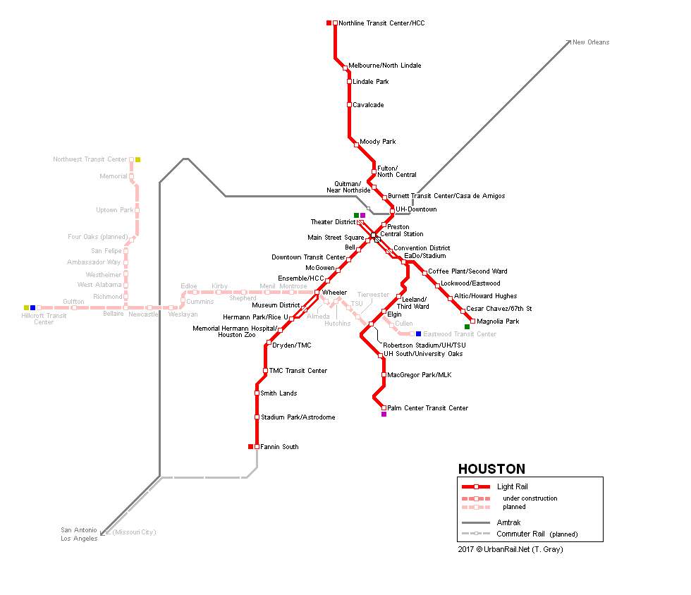
Light rail system "METRORail": Red
Line: 12 km, 16 stops; opened 1 Jan 2004 Green
& Purple Lines: 13.4 km, 13 stops, opened 23 May 2015 Operated by Metropolitan Transit Authority of Harris County (Metro) In March 2009, a large expansion plan was approved, including the East End, Southeast, North and Uptown routes, totalling about 32 km, with the East End, Southeast Lines finally opened in spring 2015 (view map with other proposed but currently deferred lines). |
|
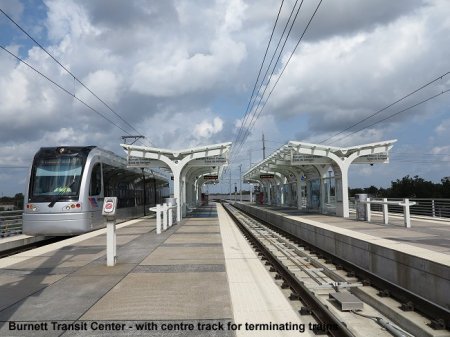
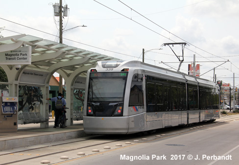
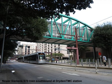
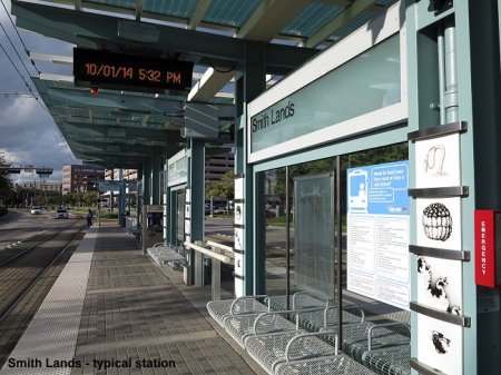
| Photos | |


|
|
| Links | |
|
Ride Metro (Official Website) Houston Light Rail at Lightrailnow Site Houston Light Rail at newyorksubway.org incl. many photos Houston Metro Light Rail at Wikipedia BLOG: Read your webmaster's impressions of the Houston METRORail system (Oct 2014) |
Our
Book: USA - Midwest & South
|
| Photos | |

 |
|

2005 © UrbanRail.Net by Robert Schwandl