|
[ UrbanRail.Net ] [ Europe ] [ Americas ] [ Asia ] [ Africa ] [ Oceania ] [ News ] [ Books ] [ Links ] [ Blog ] |
|
ROMA
|
| Lazio . Italy |
|
[ UrbanRail.Net ] [ Europe ] [ Americas ] [ Asia ] [ Africa ] [ Oceania ] [ News ] [ Books ] [ Links ] [ Blog ] |
|
ROMA
|
| Lazio . Italy |
| Metro | |
|
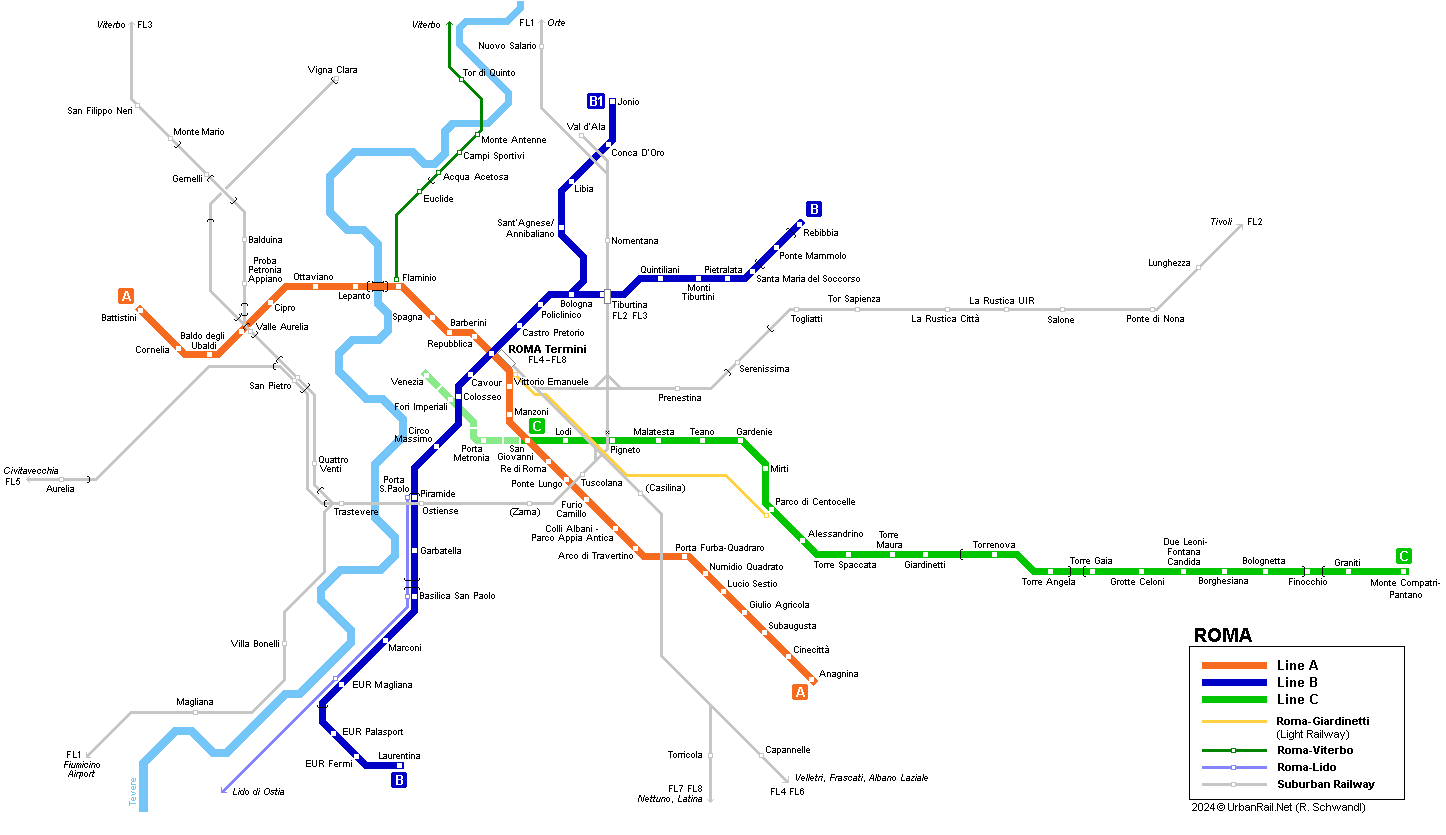
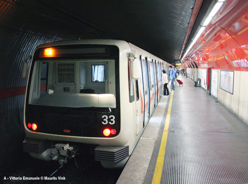
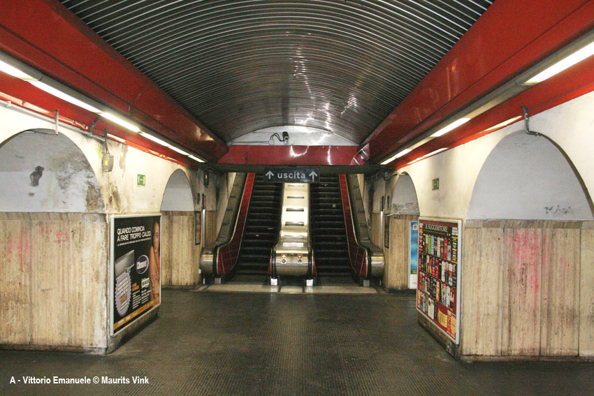
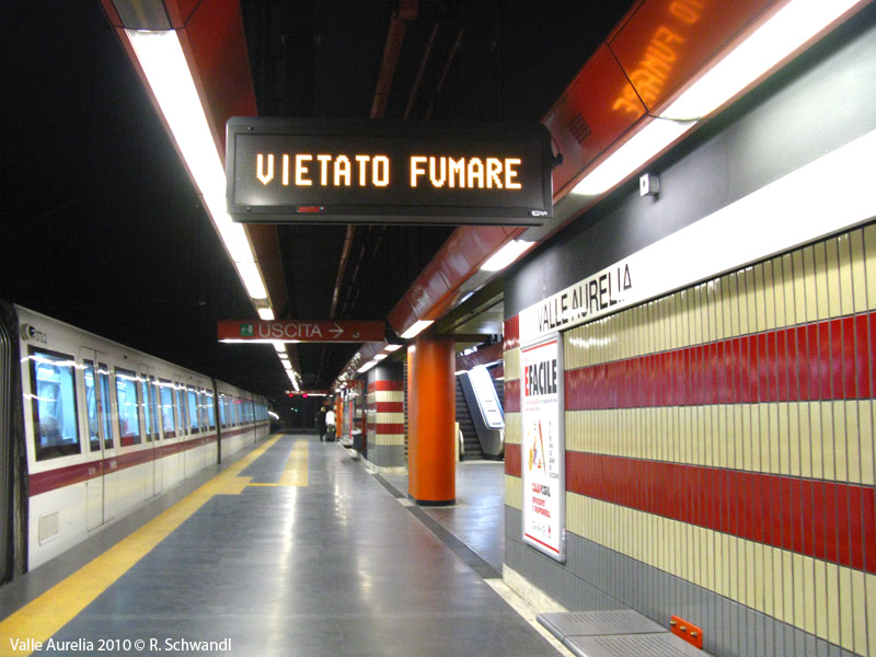
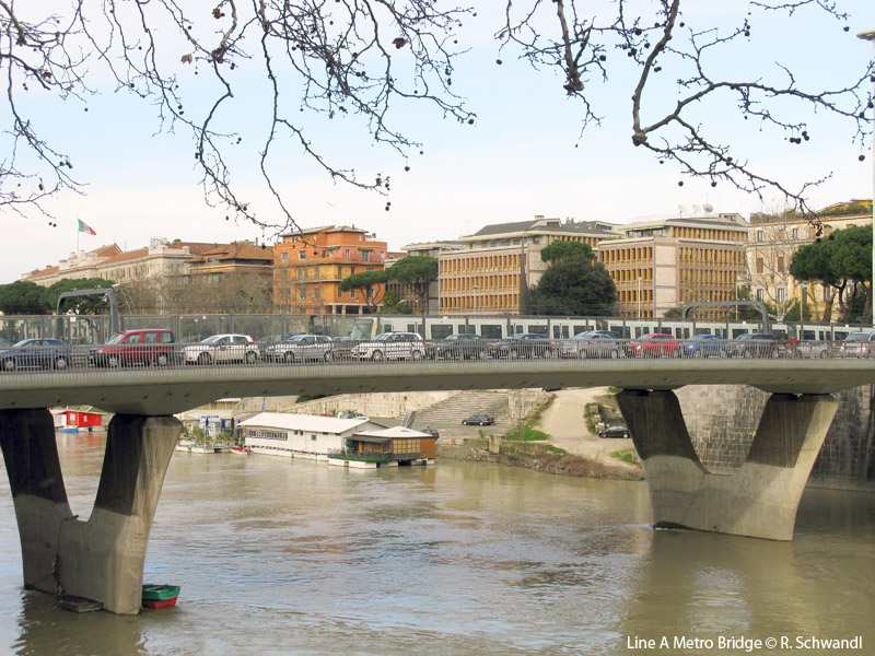
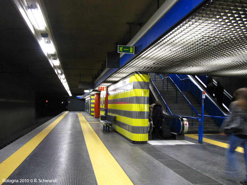
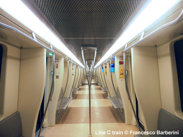
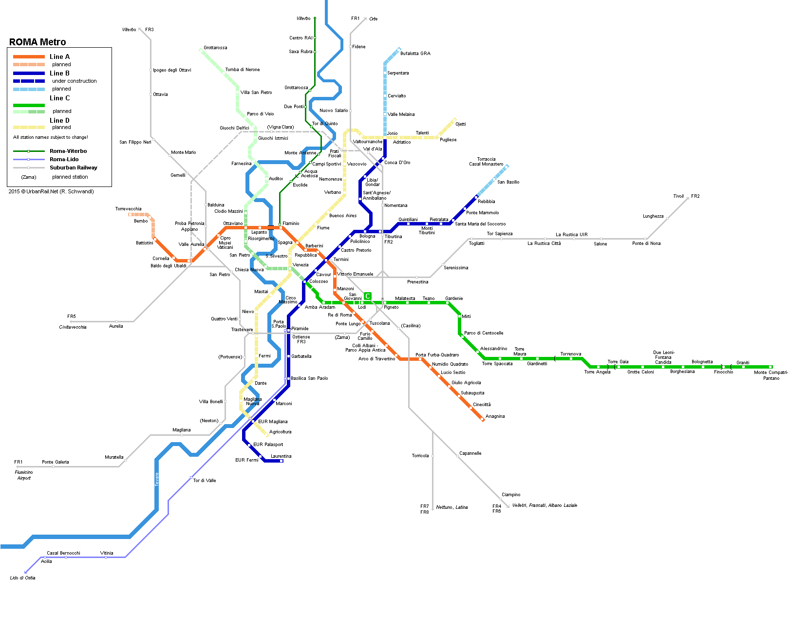
Before line C eventually opened at the end of 2014, Rome's metro system had an X shape, with the two older lines meeting at the central railway station Termini. The construction of the first line, line B south from Termini to Laurentina began in the late 1930s to be completed for the World Exhibition in 1942 (11 km, 6 km underground), but interrupted by World War II, it only opened in 1955. Many years later, in 1990, the northeastern branch to Rebibbia was finally added (8 km, 7 km underground). Line A between Anagnina in the south and Ottaviano in the north-west near Vatican City opened in 1980 (14.5 km, almost all underground). In 1999, the first stretch of a 4.5 km western extension was put into service (Cipro-Musei Vaticani and Valle Aurelia), with the final three stations, Baldo degli Ubaldi, Cornelia and Battistini following in 2000. While the old light rail line to Pantano in the southeast was upgraded to metro standard between Torrenova and Pantano, the rest of line C is newly-built running underground into the city centre. The line is operated automatically with driverless trains supplied by Ansaldobreda. Besides the Metro and the urban and suburban railways, Rome also boasts a small tram network. |
|
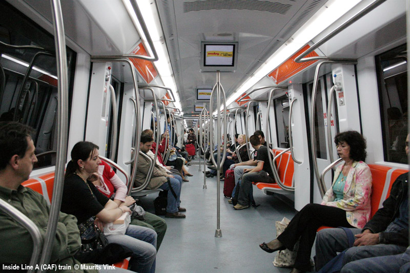
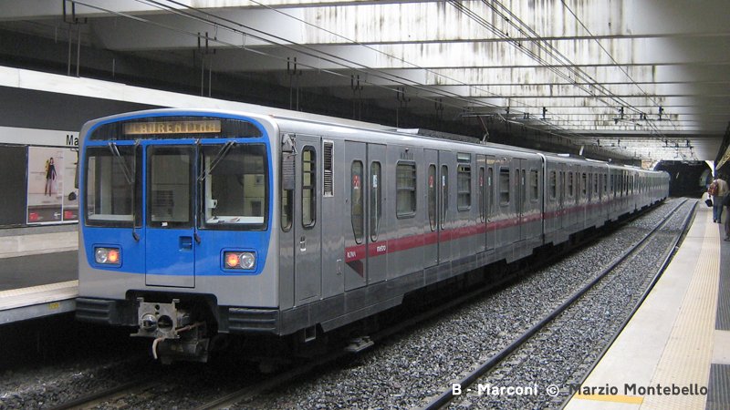
| Linea A | Battistini — Anagnina 18.4 km, 27 stations |
|
16
Feb 1980: Ottaviano - Cinecittà |
|
| Linea B | Rebibbia / Jonio — Laurentina 23.7 km, 26 stations |
|
09
Feb 1955: Termini —
Laurentina |
|
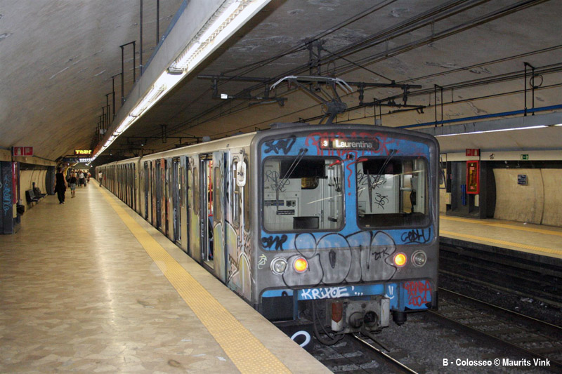
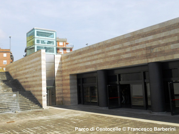
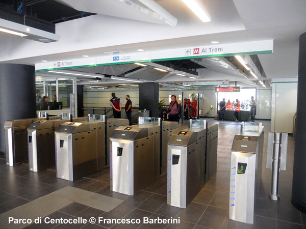
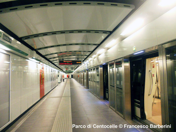
| Linea C | Colosseo — Monte Compatri-Pantano - 20.9 km (8.2 km on the surface), 24 stations |
|
09
Nov 2014: Parco
di Centocelle — Monte Compatri-Pantano (12.5 km) |
|
| .. | |
| Ferrovie Urbane - Urban Railways | |
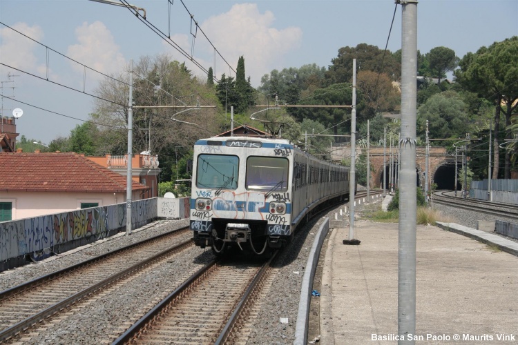
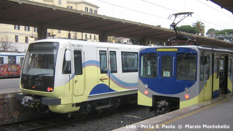
| Roma - Lido (Metromare) | |
|
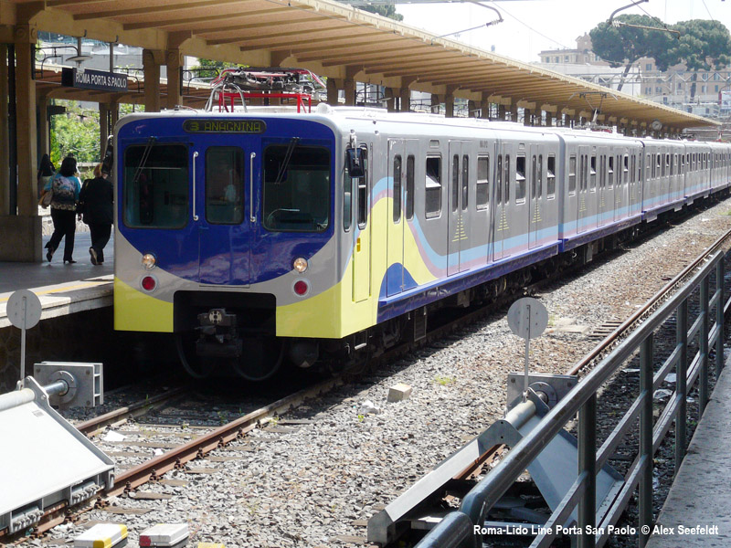
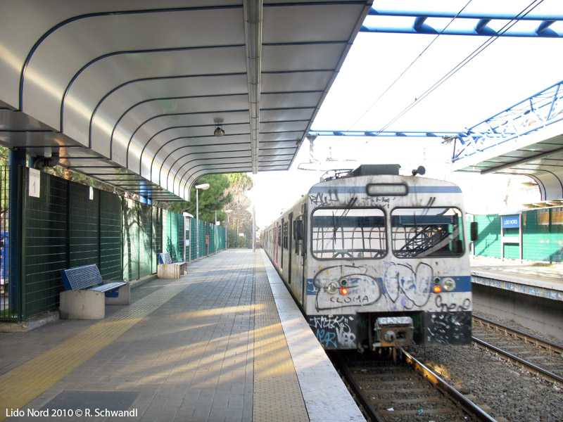
The Roma-Lido line (28.4 km) opened in 1924 to link Rome to the coastal town of Ostia. With a train every 20 minutes it offers a frequent suburban service on a completely segregated route and with high-platform stations. A new station called Acilia Sud-Dragona was added on 11 Aug 2025. |
|
| Roma - Viterbo | |
|
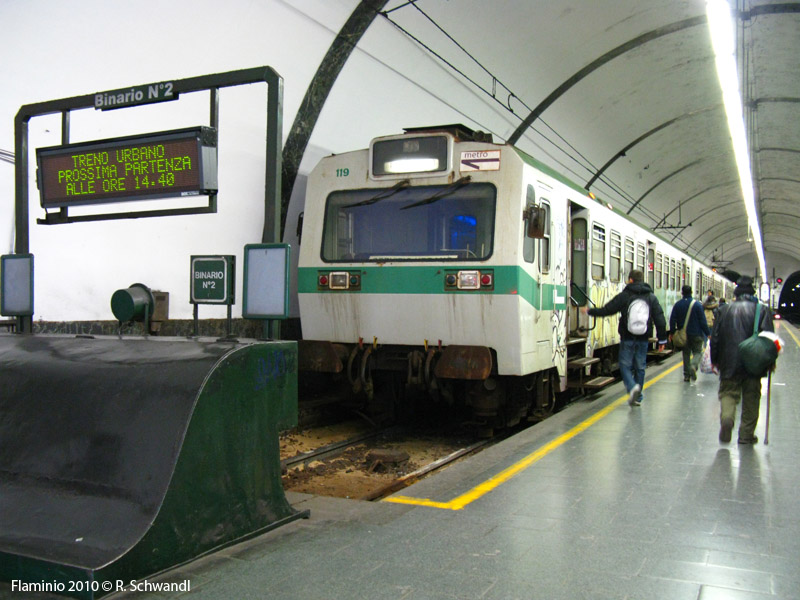
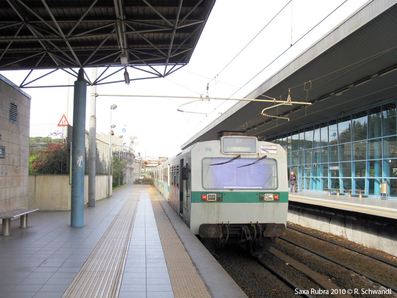
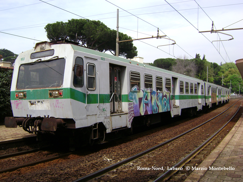
The Roma-Viterbo line, also known as Roma-Nord, is the successor of an old interurban tram line opened in 1906 from Rome to Civita Castellana, and extended to Viterbo in 1913. The section closest to Rome was rebuilt in 1932 with a 2 km tunnel from the present terminus Flaminio. An urban service is provided every 8 minutes on the section Flaminio - Montebello (12.7 km). |
|
| Roma - Giardinetti | |
|
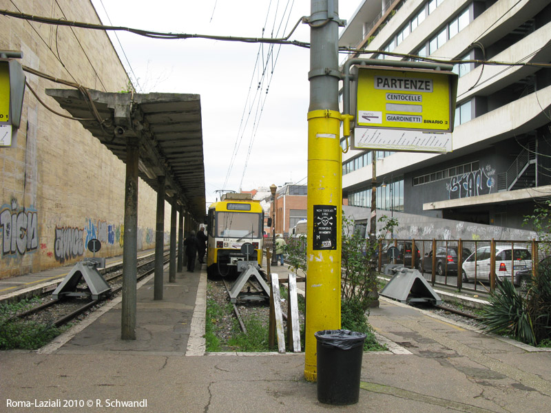
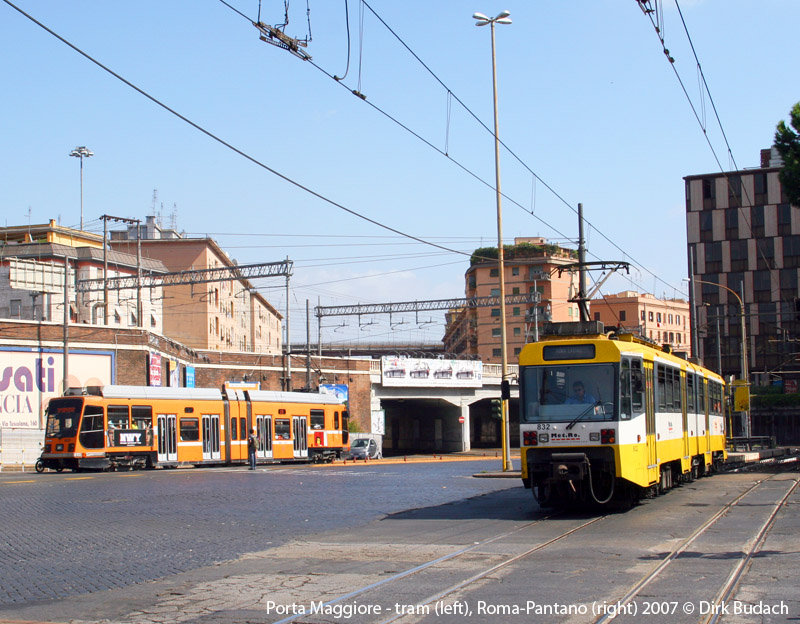
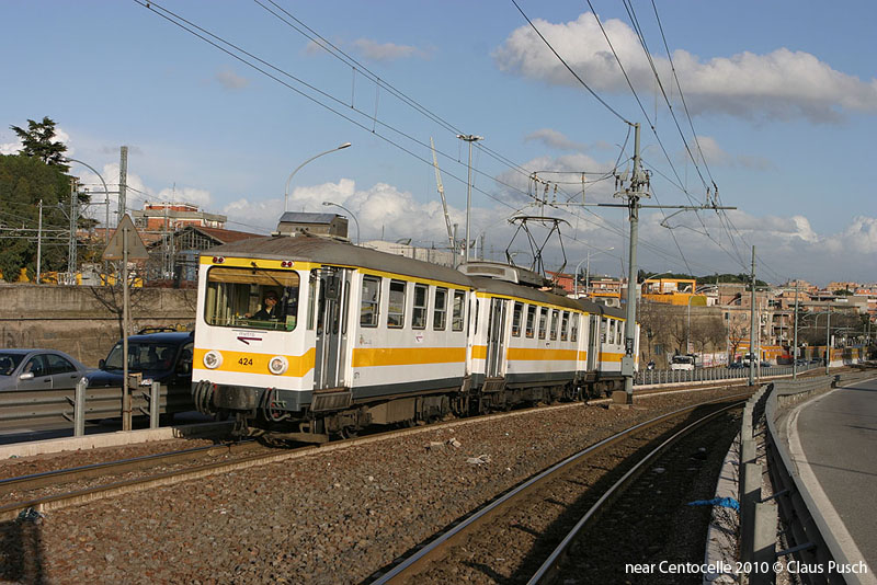
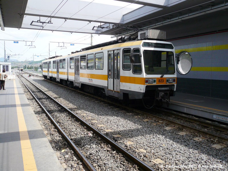
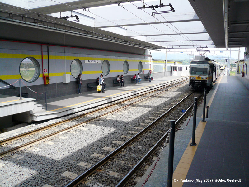
The Roma-Giardinetti line (9 km) was the successor of a former regional narrow-gauge line to Frosinone, which had been curtailed at Pantano in 1984, thus converting the line into an urban railway. The section beyond Giardinetti was taken out of service in July 2008 to allow for its definitive upgrading and incorporation into the new metro line C. The line was operated with light rail vehicles, so stations rebuilt between 2002 and 2006 on the outer section had short low-floor sections, which were only used for a few years, though. The Roma-Giardinetti was further cut back to Centocelle on 3 Aug 2015 after metro line C had been extended inbound from Parco di Centocelle to Lodi in June 2015. Eventually, earlier than planned, service was discontinued in March 2026 after an accident, with the line awaiting its regauging to be integrated with the tram network.
|
|
|
Line C Line D was once planned to run north-south parallel to the existing Line B, but no dates are known for its construction. Though not updated, view a map with these projects here. |
|
|
|
|
| Links | |
|
ATAC (Official Site) Roma Metropolitane (Metro Projects) Metro C SPA (Official site about Line C construction) Metro & Urban Railways at Wikipedia.it CityRailways.it (Italian urban rail news) Metro x Roma - Private initiative for more urban rail in Rome with news update Metrovia - Private initiative for more urban rail in Rome |
|
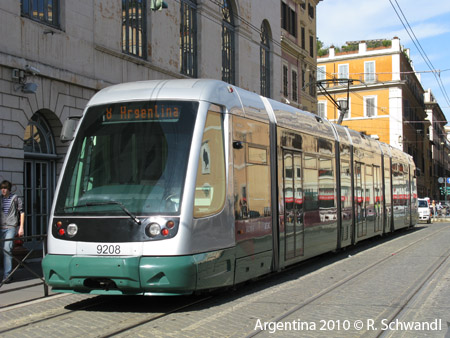
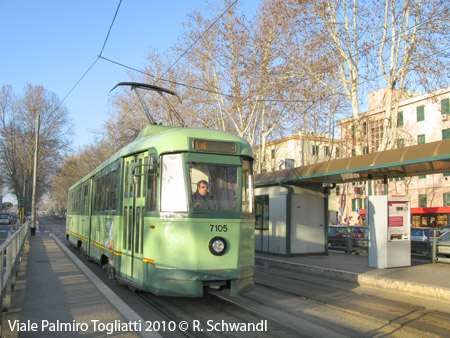
| Tram | |
|
|
|
|
|
|
2004 © UrbanRail.Net by Robert Schwandl.


