Click
on map to expand to full size!
|
[ UrbanRail.Net ] [ Europe ] [ Americas ] [ Asia ] [ Africa ] [ Oceania ] [ News ] [ Books ] [ Links ] |
| Ireland/Eire |
Click
on map to expand to full size!
| System | ||
|
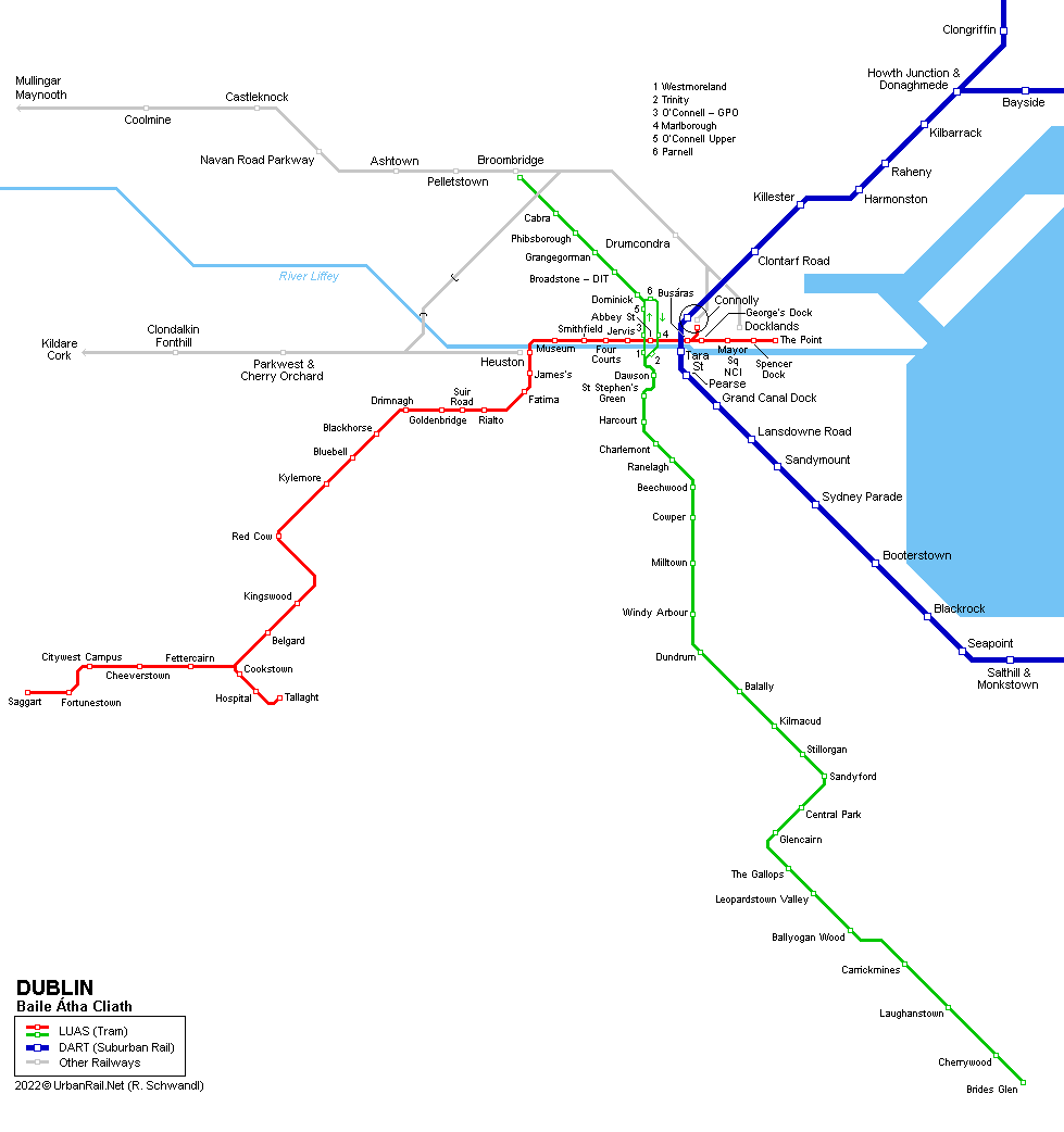
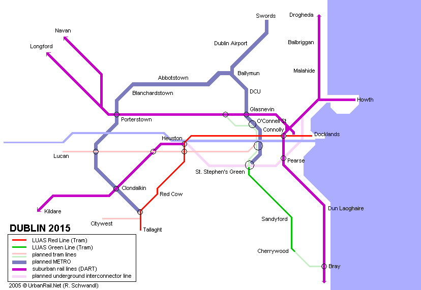
The current system consists of a 50 km electrified heavy rail line known as the DART and a 42 km light rail network known as Luas. The Luas lines (Red and Green, known as A/C and B while in the planning stage) were opened in 2004. The DART was opened in 1984 and originally ran from Portmarnock and Howth to Bray. It was extended from Bray to Greystones and from Portmarnock to Malahide in 1999/2000. DART was created by electrifying old lines that date from the 19th century.
|
||
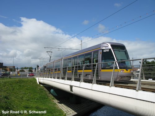
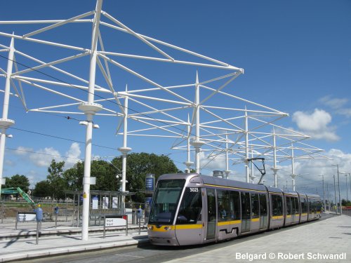
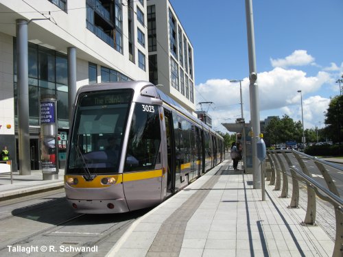
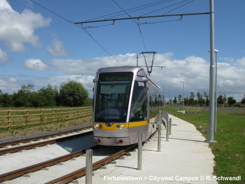
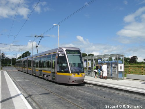
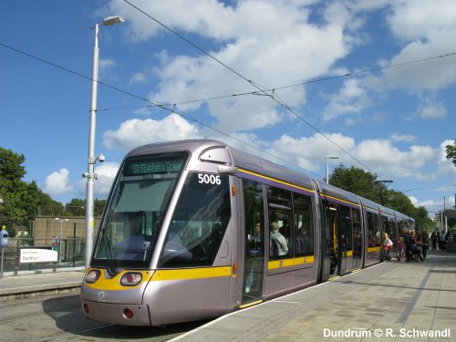
| Luas (Red Line) | Tallaght / Saggart - Connolly / The Point, 20.7 km | |
|
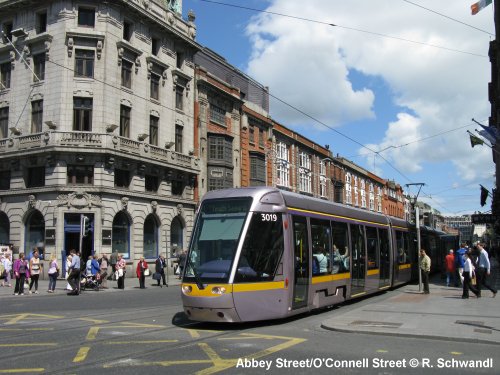
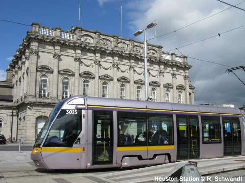
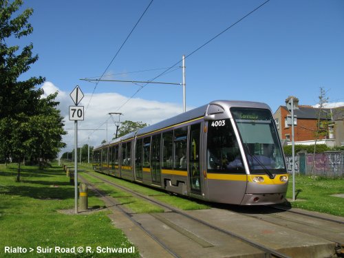
The Luas Red Line runs on-street in the city centre and is mostly on a dedicated right-of-way (partly using an old canal bed), though with level crossings, in the suburbs. It starts at Connolly Station in the city centre, where transfer to intercity and DART trains is possible, and runs west along streets before turning southwest to Tallaght. The Red Line, which was known as Line A/C during the planning phase, opened in September 2004. It was eventually extended eastwards to The Point in the docklands area in Dec 2009. The line intersects the heavy rail and DART networks at Heuston and Connolly, and since Dec 2017 also provides transfer to the Green Line at Abbey Street. 28 Sept
2004: Tallaght - Connolly (15.6 km) |
||
|
|
||
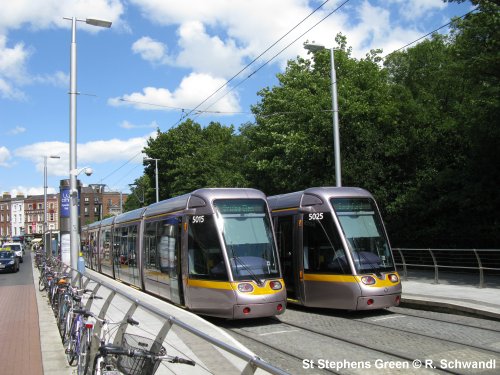
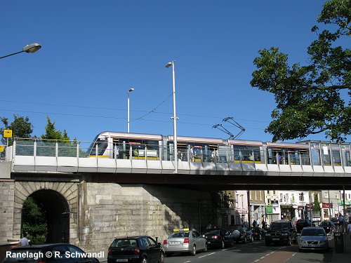
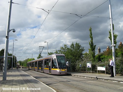
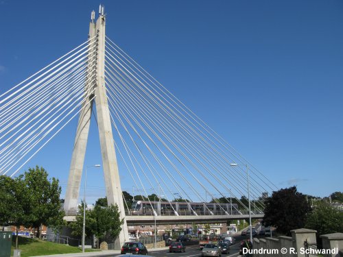
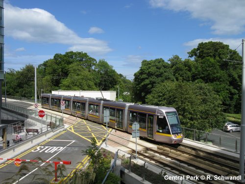
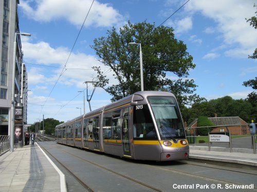
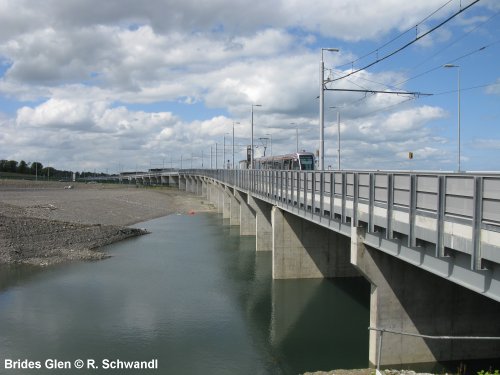
| Luas (Green Line) | Broombridge - Brides Glen, 23.5 km | |
| The original
Luas Green Line started in the centre of the city at St Stephen's Green
but did not connect with the Red Line. Until Dec 2017, there was a 1 km
gap between the lines at their closest approach. From St Stephen's Green,
the line runs for a short distance on city streets before reaching an old
elevated heavy rail alignment which was closed in 1959 and reopened as the
Green Line in July 2004. Most of the old alignment was intact though some
bridges had to be reinstated, the most impressive being the The Crosscity Line
(St Stephen’s Green - Broombridge) opened in December 2017 is a 6 km northern
extension which starts at the former Green Line terminus in St Stephen’s
Green and runs via the city centre to an interchange with the Maynooth
heavy rail line at Broombridge. In the city centre northbound trams travel
along O’Connell St, while in the opposite direction they run via Marlborough
Street. A new bridge for southbound trams and buses was constructed across
the River Liffey east of O’Connell Bridge. The new line intersects the
existing Red Line in two places: O’Connell St / Abbey St (northbound)
and Marlborough St / Abbey St (southbound). See project
website
|
||
|
|
||
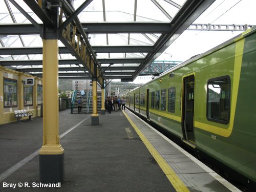
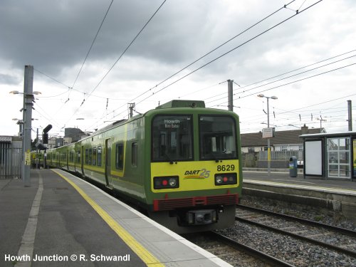
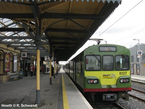
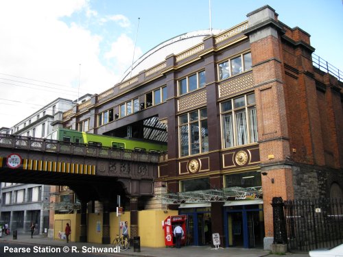
| DART | Malahide / Howth - Greystones, 50 km | |
| The
DART is the name of the service that runs on the electrified section of
On non-electrified lines, regional rail service is branded Commuter. Commuter services from Connolly operate north to Drogheda and Dundalk, north west to Maynooth and Longford and south to Gorey. Commuter services from Heuston operate to Kildare and Portlaoise. 23 July
1984: Howth - Bray |
||
|
|
||
| Projects | ||
|
METRO There are two light
Metro lines planned for A proposed Luas line to Lucan (circa
15 km) would start at a junction with Line BXD in College Green and would
travel westwards through the city centre. It would share the Red Line’s
alignment between Fatima and Blackhorse stops, before continuing via Ballyfermot
and Liffey Valley to terminate at the Newcastle Road in Lucan. If built
this would be known as Line F during the construction process. Line B2, a 9 km (approx.) southward
extension of the Green Line, would commence at the existing terminus at
Bride’s Glen and would follow the M11 motorway to the outskirts of Bray
where it would divide into two branches. One of these would terminate
at the existing DART station in the eastern side of the town while the
other would run to Fassaroe on the town’s western side. |
||
| Books | ||
|
Robert Schwandl: TRAM ATLAS WESTEUROPA | WESTERN EUROPE - British Isles & Benelux Ireland - Great Britain - Belgium - Netherlands - Luxembourg - R. Schwandl Verlag, 10/2025, ISBN 978-3936573-81-7 |
||
| Links | ||
|
TII (Transport Infrastructure Ireland)
|
||
2004 © UrbanRail.Net by Robert Schwandl.

