|
[ UrbanRail.Net ] [ Europe ] [ Americas ] [ Asia ] [ Africa ] [ Oceania ] [ News ] [ Books ] [ Links ] |
|
ESSEN
. MÜLHEIM . OBERHAUSEN
|
| Nordrhein-Westfalen . Germany |
|
[ UrbanRail.Net ] [ Europe ] [ Americas ] [ Asia ] [ Africa ] [ Oceania ] [ News ] [ Books ] [ Links ] |
|
ESSEN
. MÜLHEIM . OBERHAUSEN
|
| Nordrhein-Westfalen . Germany |
| System | |||||||
|
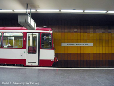
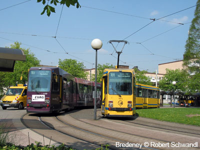
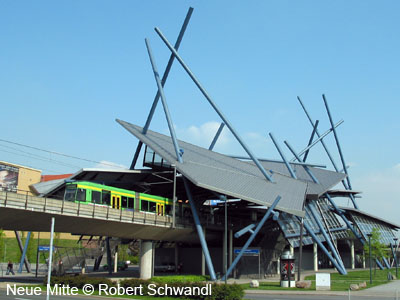
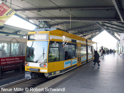
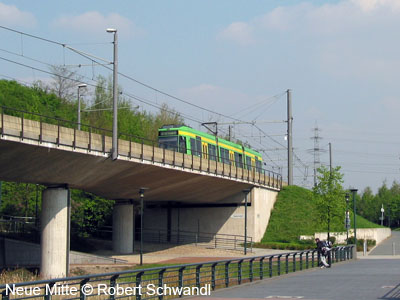
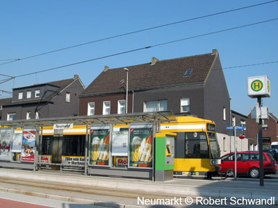
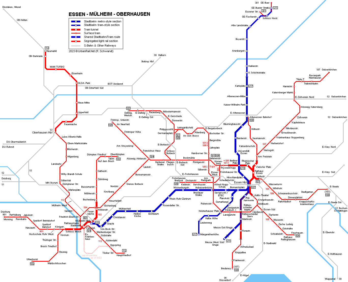
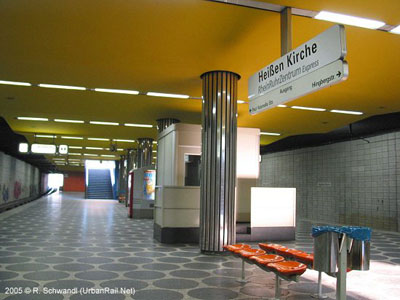
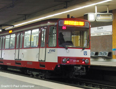
With some 600,000 inhabitants, Essen is among Germany's ten largest cities and the geographical heart of the Rhein-Ruhr-Area, while with some 175,000 inhabitants, Mülheim an der Ruhr is among the smaller cities in the region. Line 112 is operated jointly with STOAG, the local transport agency in Oberhausen (220,000 inhabitants). To the north of Oberhausen Hbf, line 112 runs on a dedicated right-of-way to Sterkrade, a route that is shared by CityExpress buses. This tram line also serves the new area referred to as Neue Mitte (CentrO). Construction of a Stadtbahn network started in the early 1960's and included regauging of many routes from former 1000 mm to standard 1435 mm and the construction of underground sections in the city centre. The first 600 m underground section opened in 1967 along Huysenallee with one station, Saalbau (now Philharmonie). In the early 1970's a Stadtbahn network was planned for the whole Rhein-Ruhr area and the fast tram link between Essen and Mülheim was chosen as the first to be upgraded. It opened in 1977, partly underground and partly on the surface in the middle strip of the A40 motorway. Subsequently a small underground network was realised. In 2017, Essen's EVAG and Mülheim's MVG merged to become known as 'RUHRBAHN'. |
|||||||
| STADTBAHN | |||||||
|
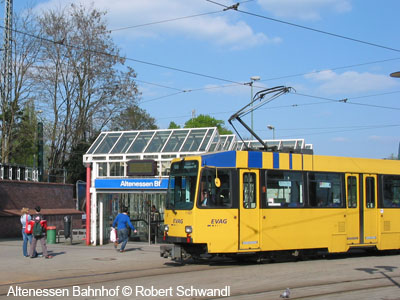
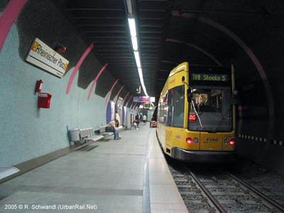
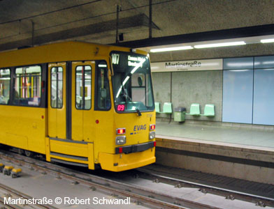
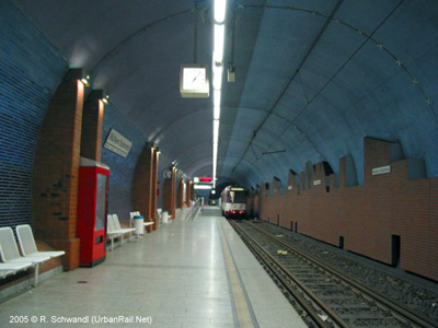
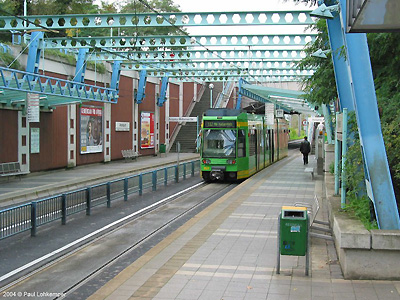
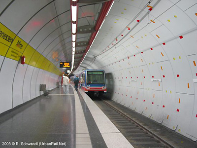
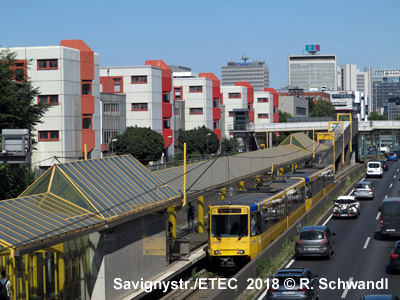
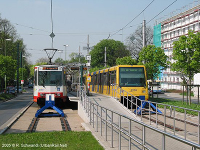
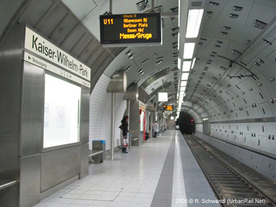
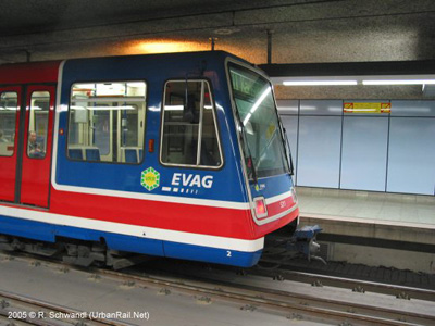
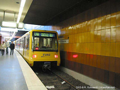
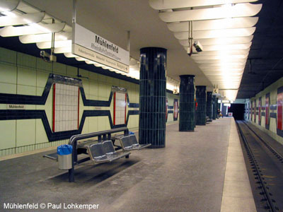
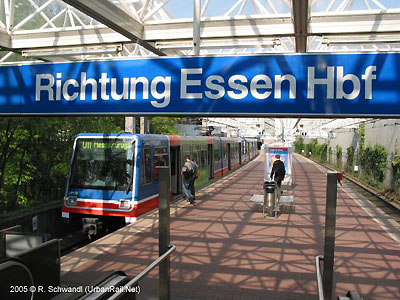
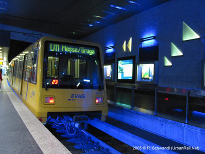
Line U18 from Essen to Mülheim could be classified as a real metro as it runs independent from road traffic all along its route, where lines U11 and U17 have surface sections with level crossings. Ex-Docklands Light Rail vehicles, now repainted yellow, are in use in Essen. The section between Hauptbahnhof and Martinstraße is also used by some 1000 mm tramway lines (3-rail-tracks), which stop at high-level platforms here. Since the mid-1990's the northern route was extended in two stages, first to Altenessen Bahnhof (1998) and further on to II.Schichtstraße from where U11 trains continue on the surface to Buerer Straße in Gelsenkirchen. The surface on-street section of U17 to Margarethenhöhe was upgraded in 2002 with high platforms at all stops. - Stadtbahn
route length - 27.5 km (of which 1.9 km are shared with trams)
|
|||||||
 |
|||||||
| TRAM | |||||||
|
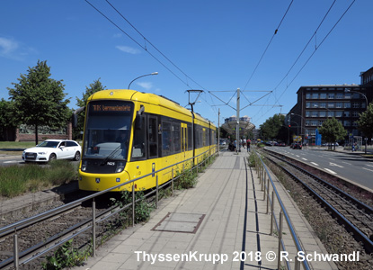
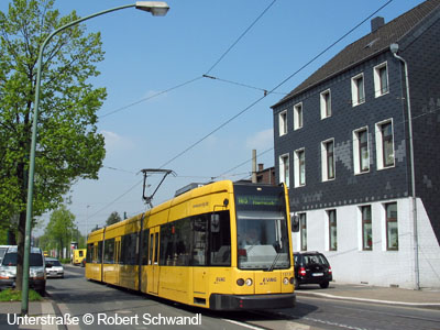
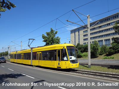
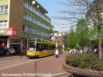
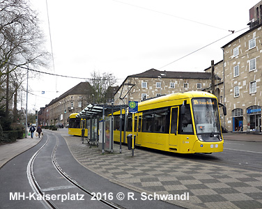
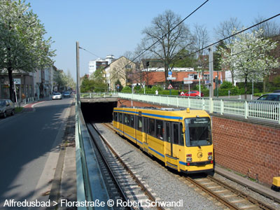
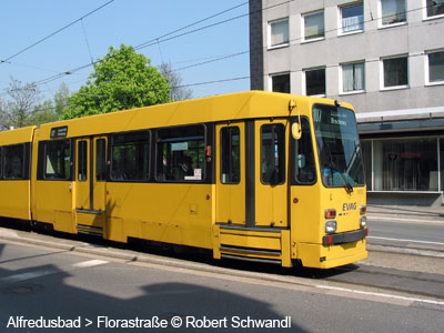
Besides the Stadtbahn, Essen and Mülheim boast several tram lines, most of which run through some underground section at some stage. The route between Essen Hauptbahnhof and Martinstraße is equipped with 3-rail tracks for use by Stadtbahn and high-floor tram cars. - tram route
length approx. 87 km (of which 1.9 km are shared with Stadtbahn) including
Duisburg's line 901 in Mülheim 19-10-2014: ThyssenKrupp - Alfred-Krupp-Schule (Line 109, 1.3 km) In Mülheim,
three trams sections have closed in recent years:
|
|||||||
|
|
|||||||
| History of Stadtbahn and tram tunnel sections | |||||||
|
05
Oct. 1967 - Saalbau (now Philharmonie/Saalbau)
|
|||||||
|
|
|||||||
| Links | |||||||
|
RUHRBAHN (Essen/Mülheim Transport - official) VRR (Tariff System Rhein-Ruhr) incl. maps and timetables Trambilderbuch incl. many photos Essen Track Map at gleisplanweb.de |
|||||||
| Books | |||||||
|
|
|||||||
| Tram in Oberhausen | |||||||
|
|
|||||||
2004 © UrbanRail.Net by Robert Schwandl.