|
[ UrbanRail.Net ] [ Europe ] [ Americas ] [ Asia ] [ Africa ] [ Oceania ] [ News ] [ Books ] [ Links ] |
|
BRUXELLES .
BRUSSEL
|
| Belgium |
![]()
| System |
|
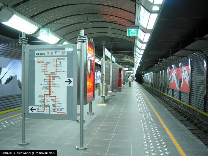
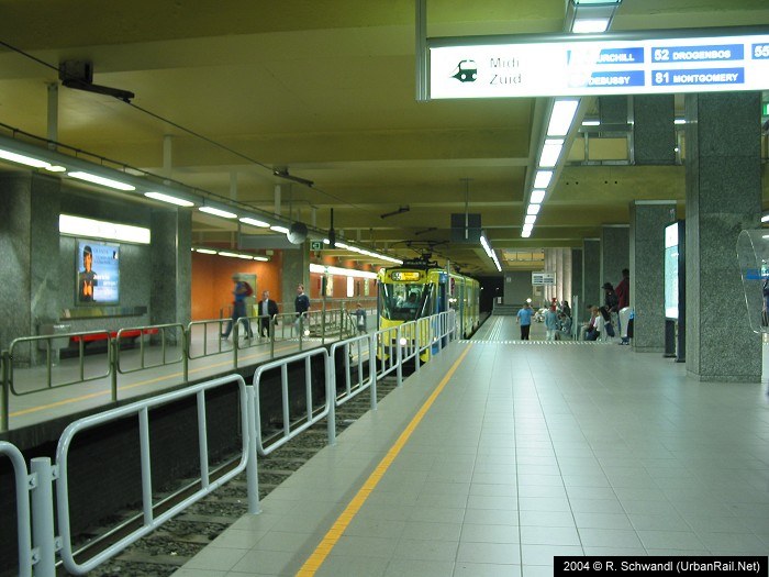
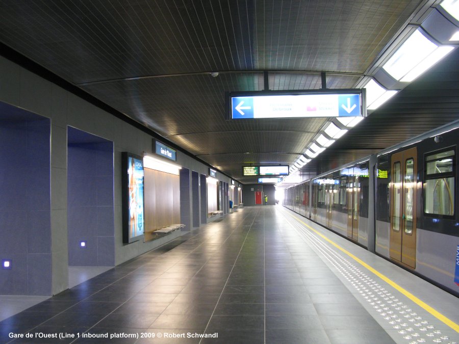
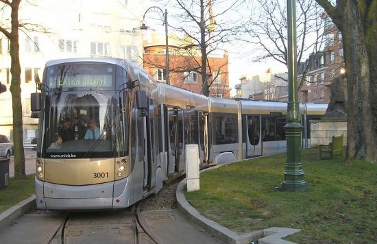
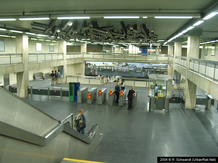
The Brussels Métro started as a pré-métro system which could be compared to German Stadtbahn systems (Cologne, Stuttgart, Essen, Hannover, etc.) with important sections of underground tunnels used by various tram routes. In 1969, the first tram tunnel along today's line 1 was opened between Schuman and De Brouckère, and in 1970 today's line 2 between Madou and Porte de Namur. Today lines 1/5 and 2/6 are operated as full metro lines, whereas the north-south city tunnel and the outer ring tunnel in the east are still used by trams stopping at low-level platforms. The Brussels Metro is operated by STIB/MIVB (Societé des Transports Intercommunaux de Bruxelles) also responsible for a tram network 133 km long (12 km of which are in tunnels).
|
| |
|
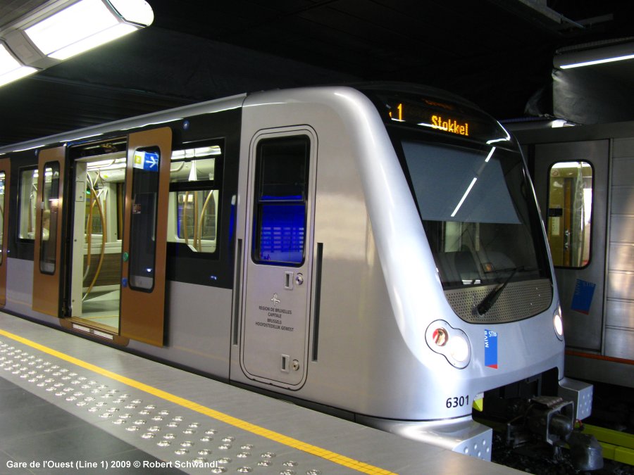
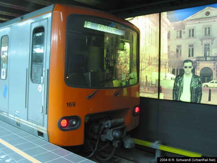
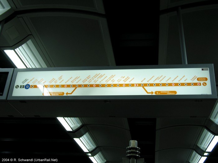
The east-west line was switched to full metro operation in 1976 and grew steadily at both ends with two branches on each side. Until 4 April 2009 it was operated as lines 1A (Herrmann-Debroux - Roi Baudouin) and 1B (Erasme - Stockel), with line 1A trains reversing at Beekkant and continuing on the left side towards Roi Baudouin. 20
Sep 1976: De Brouckère - Beaulieu and Tomberg |
|
|
| |
|
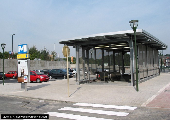
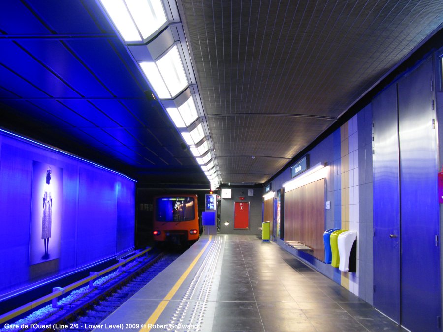
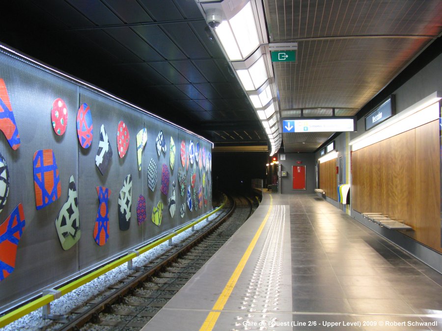
The ring line grew along the inner ring road as a pré-métro line until 1988, when it was eventually upgraded for full metro operation (until 4/4/2009 line 2). Line 2/6 is operated on the left side between Clemenceau and Roi Baudouin. 06
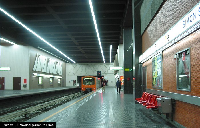
Oct 1982: Beekkant - Bockstael * To avoid confusion, the bi-level station Simonis/Elisabeth was given separate names in Nov. 2013; originally, both levels were just called 'Simonis', then in 2009, the upper (north-south) level received the appendage 'Leopold II', while the lower level, terminus for lines 2 and 6, was complemented with 'Elisabeth'. |
|
|
| Prémétro: Gare du Nord · Noordstation – Albert |
|
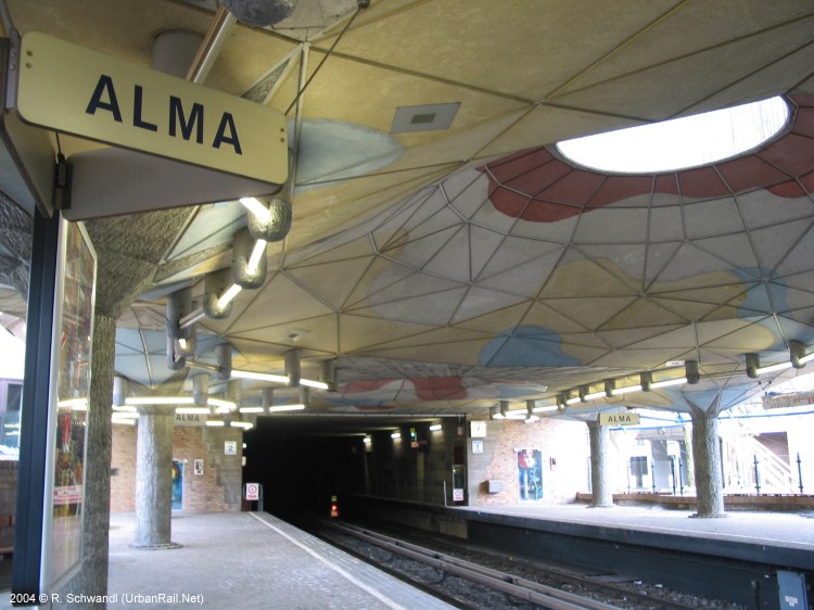
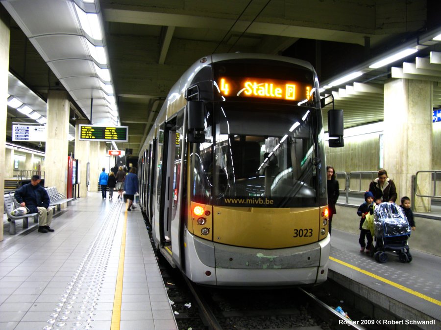
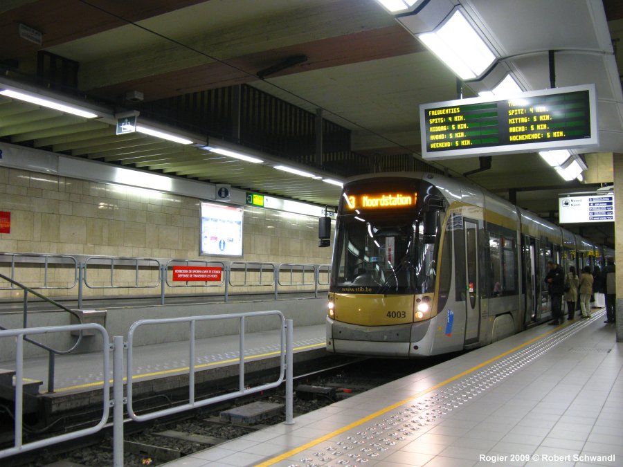
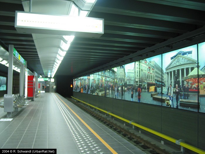
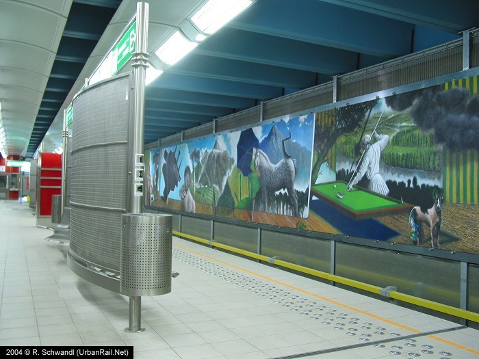
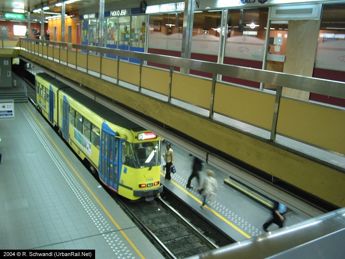
The North-South Prémétro tunnel opened in 1976 between Gare du Nord and Lemonnier; it was extended to Albert in Dec. 1993 and is currently operated as a tram tunnel shared by lines 4 and 10. Between Gare du Nord and Rogier, the tunnel is four-track, with two tracks terminating on the upper level at Rogier (terminus for lines 25 and 55). The
north-south tunnel is finally being upgraded to full metro operation (metro
line 3) and extented north to Bordet. The conversion includes the closure
of the present Lemonnier underground tram stop, which is being replaced
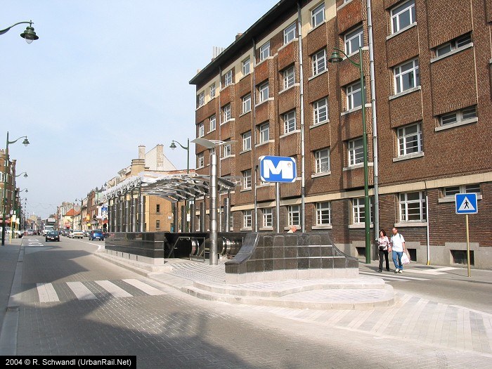
by a new metro station called Toots Thielemans. The Outer Ringroad Prémétro, which crosses line 1 at Montgomery, was opened between 1972 (Diamant) and 1975; it features four metro-style stations and is currently served by lines 7 and 25. |
|
|
|
|
| Books |
|
Robert Schwandl: TRAM ATLAS WESTEUROPA | WESTERN EUROPE - British Isles & Benelux Ireland - Great Britain - Belgium - Netherlands - Luxembourg - R. Schwandl Verlag, 10/2025, ISBN 978-3936573-81-7 |
| Links |
|
Official STIB/MIVB Page incl. map Metro de Bruxelles at Wikipedia.fr Brussels Urban Transport Museum Metro & Tram Track Map by carto.metro
|
| Photos |
|
|
2004 © UrbanRail.Net