|
[ UrbanRail.Net ] [ Europe ] [ Americas ] [ Asia ] [ Africa ] [ Oceania ] [ News ] [ Books ] [ Links ] |
| Austria |
![]()
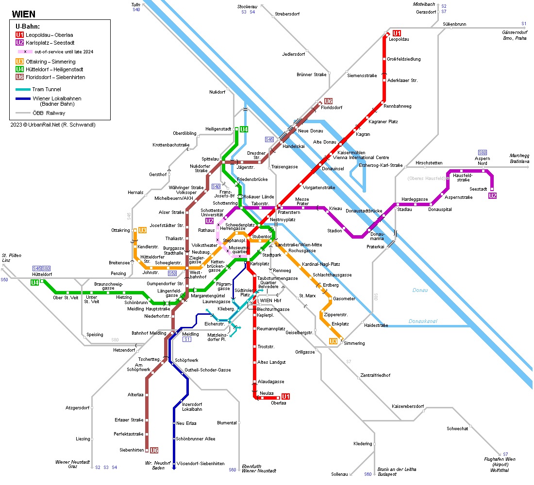
| System | ||
 |
||
|
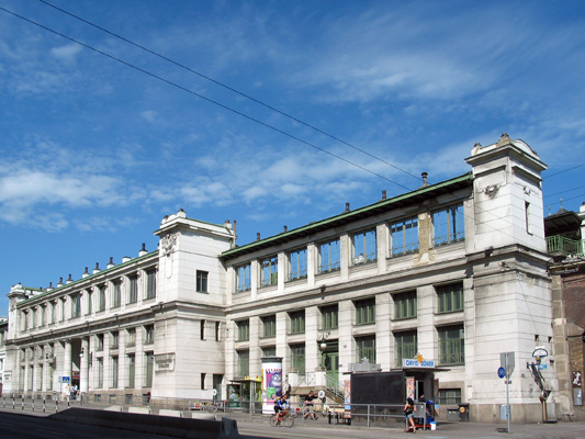
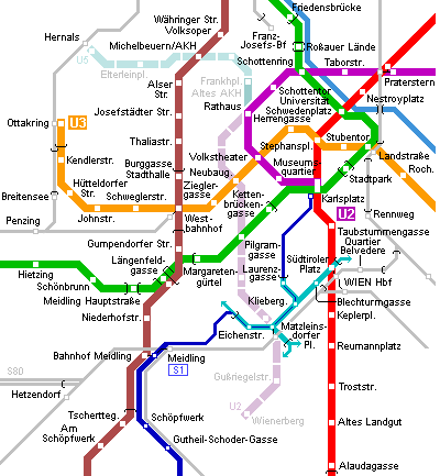
Vienna (in German Wien) is the capital of Austria and has about 2 million inhabitants. Vienna's modern underground network actually goes back to the 19th century, when a system of urban steam railway lines was built to connect the various mainline railways serving the once large Austro-Hungarian Empire. Three Stadtbahn lines opened in stages between 1898 and 1901, with stations and viaducts designed by Otto Wagner, the outstanding art-nouveau (Jugendstil) architect. Two of these lines were later upgraded to become today's U4 and the central section of U6, and the third, a suburban line, was converted into Schnellbahn in the 1980's (S45). The first two lines were electrified in 1925 and operated as a rapid tramway on independent right-of-way, either elevated along the Gürtel (a kind of ring road > now U6) or in an open tunnel along the Danube Canal and the Wien River (> now U4). In 2017, the Vienna U-Bahn system comprises 5 lines with a total length of approx. 84 km and 109 stations. |
||
| U-Bahn Lines | ||
|
. . . . . . . . . .
. . . . . . . . . . . . . . . . .
|
||
|
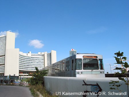
Linie
U1
|
Leopoldau
– Oberlaa
|
19.2 km - 24 stations |
|
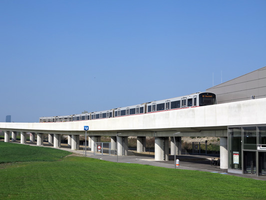
Line U1 constitutes Vienna's major north-south trunk route which links the districts on the eastern side of the Danube to the city centre and the populous southern district of Favoriten. A southern extension to Oberlaa opened in 2017 after construction had started in early 2012, while the formerly planned terminus at Rothneusiedl is now an option for a future branch. On U1, every other southbound train terminates at Alaudagasse. |
||
|
|
||
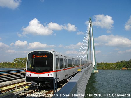
|
Linie
U2
|
Karlsplatz
– Seestadt
|
16.7 km - 20 stations |
|
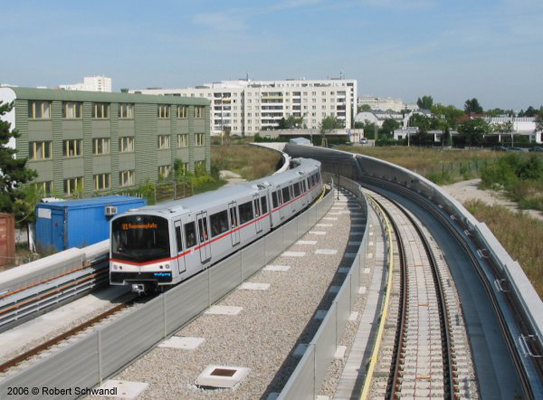
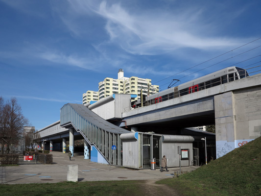
Starting as an underground tram route on the western side of the city centre back in the 1960s, line U2 has gradually been upgraded and is now an important east-west route that links the city centre to the stadium and fairgrounds, as well as the new development areas across the Danube River. It reached its eastern terminus Seestadt in October 2013 – the intermediate station Lina-Loos-Platz (ex Oberes Hausfeld/ex An den alten Schanzen) was then only partially completed in the absence of any housing development nearby, but is was eventually opened on 19 Jan 2026. |
||
|
|
||
|
Linie
U3
|
Ottakring
– Simmering
|
13.5 km - 21 stations |
|
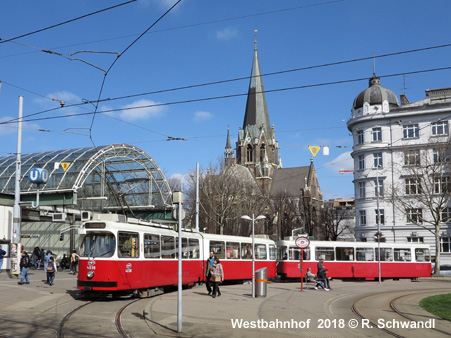
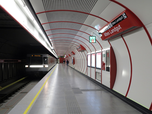
Line U3, like the U1 a completely newly-planned line, runs from the western districts to the southeastern parts of the city, serving Westbahnhof (West Railway Station), the city's major shopping artery Mariahilfer Straße (Zieglergasse & Neubaugasse stations), the city centre proper as well as the important railway hub Landstraße/Wien Mitte. |
||
|
|
||
|
Linie
U4
|
Hütteldorf
– Heiligenstadt
|
16.4 km - 20 stations |
|
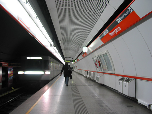
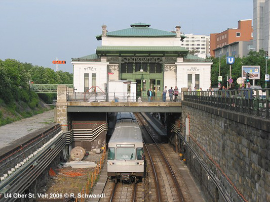
The entire line U4 was developed out of the old Stadtbahn Wiental-Donaukanal line (WD), which had opened in as early as 1898. Initially steam-operated, the line was upgraded to electric operation in 1925 before becoming a modern U-Bahn line in stages between 1976 and 1981. Line U4 runs mostly on the surface, with several short intermediate sections; between Schwedenplatz and Friedensbrücke, the route is covered, though open on the side of the Danube Canal. |
||
|
|
||
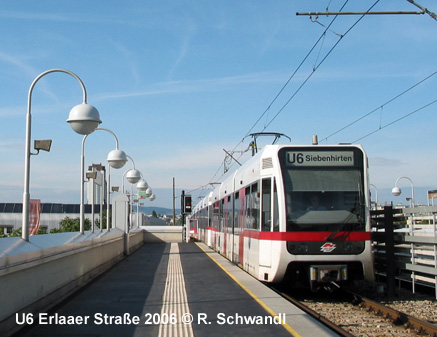
|
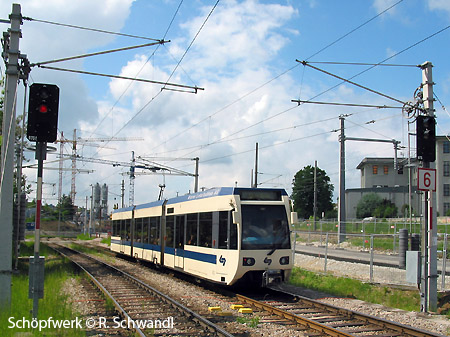
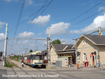
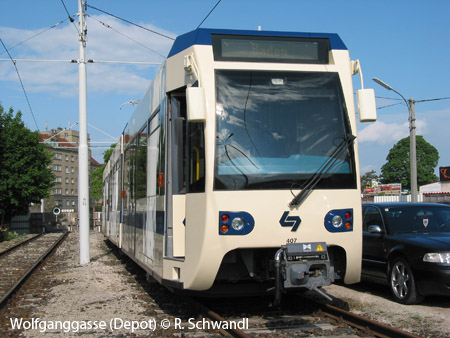
Linie
U6
|
Floridsdorf
– Siebenhirten
|
17.5 km - 24 stations |
|
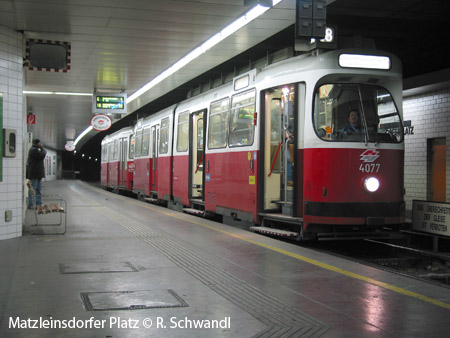
Like the U4, the central part of line U6 was also part of the old Stadtbahn system. But whereas line U4 was converted to full U-Bahn standard, the Gürtel line (G) has continued being operated with light rail vehicles, but using 110 m long trains and the line being fully segregated, it can be classified as a full-scale metro line. Despite by-passing the city centre, it is one of the busiest lines on the Vienna U-Bahn system. |
||
 U2/U5: