|
[ UrbanRail.Net ] [ Europe ] [ Americas ] [ Asia ] [ Africa ] [ Oceania ] [ News ] [ Books ] [ Links ] |
|
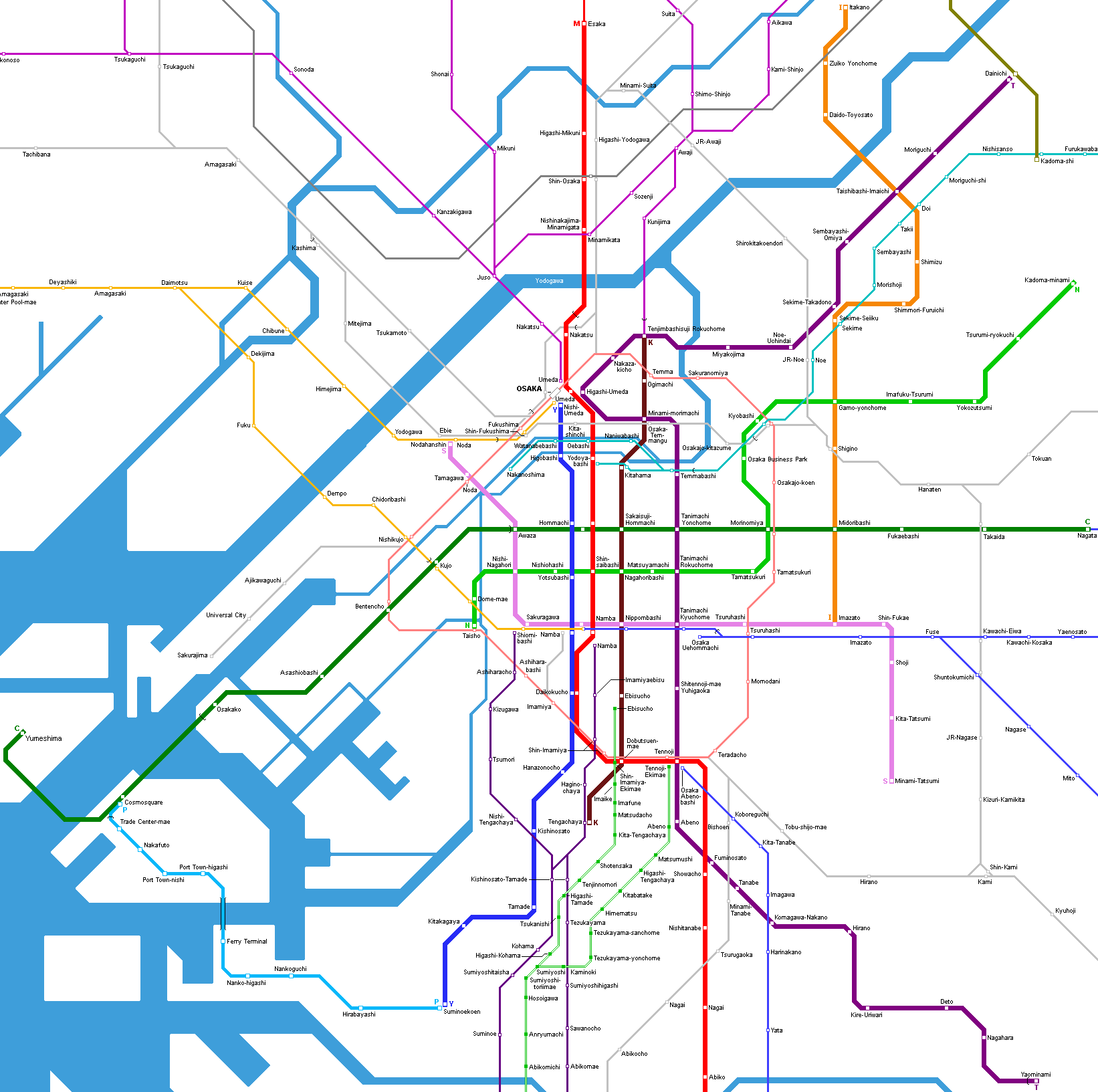
OSAKA
|
| Japan |
Click
on map to expand to full size!![]()
|
OSAKA
METRO
|
|
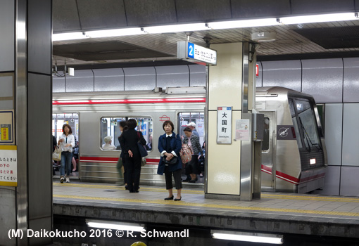
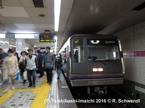
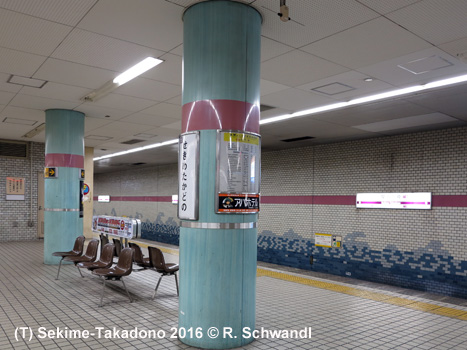
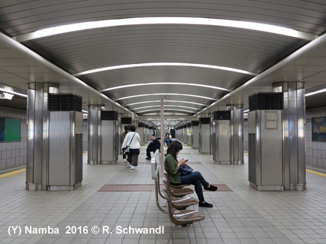
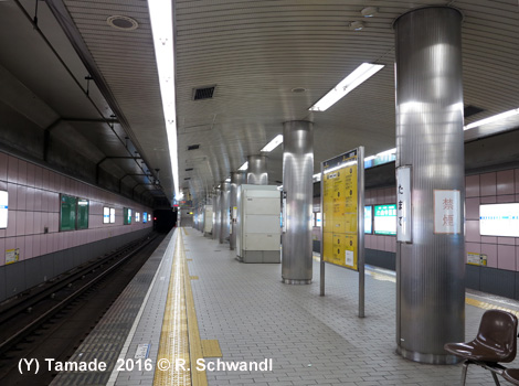
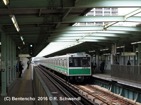
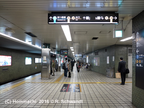
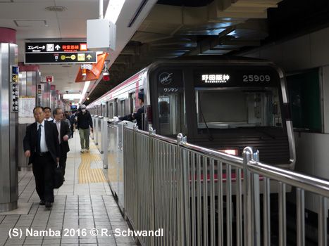
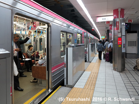
Osaka opened its first subway line (the first public metro in Japan) on 20 May 1933 between Umeda and Shinsaibashi. Most lines run along main streets and were built by the cut-and-cover method at low depth. In 2007, the eight subway lines reached a total length of 130 km with 123 stations. View complete history chart here. Apart from the subway lines, which cross the city like a grid network, and the so-called new tram serving the waterfront, there are several suburban rail services operating in the metropolitan area, among them the Osaka Loop Line (21.7 km), which connects all subway lines, and the two Hankai tramway lines. As is common with other Japanese metro systems, some lines have a reciprocal service with suburban rail lines. In 2004, station numbers were added. Although no line numbers are used, lines are generally listed in the following order:
|
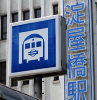
| Midosuji Line (M) |
|
Esaka
- Nakamozu 20 May 1933:
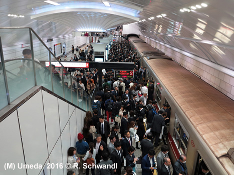
Umeda - Shinsaibashi
|
|
|
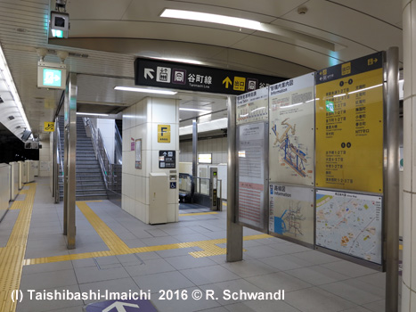
| Tanimachi Line (T) |
|
Dainichi
- Yaominani
|
|
|
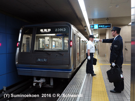
| Yotsubashi Line (Y) |
|
Nishi-Umeda
- Suminoekoen
|
|
|
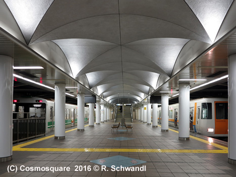
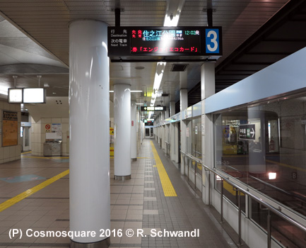
| Chuo Line (C) |
|
Cosmosquare
- Nagata The section Osakako - Cosmosquare was originally part of the 3.7 km OTS "Nanko Technoport Line" (Osakako - Nakafuto), including a 2.2 km underwater rail/road tunnel; it opened on 18 December 1997, but was fully integrated into the Subway Chuo Line and the Nanko Port Town Line on 30 June 2005. 19 Jan 2025: Cosmosquare - Yumeshima (3.2 km) |
|
|
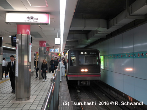
| Sennichimae Line (S) |
|
Noda-hanshin
- Minami-Tatsumi
|
|
|
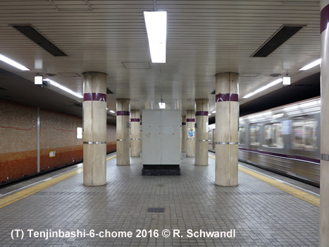
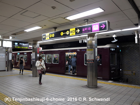
| Sakaisuji Line (K) |
|
Tenjinbashisuji-6-chome
- Tengachaya; reciprocal service with Hankyu
Railway
|
|
|
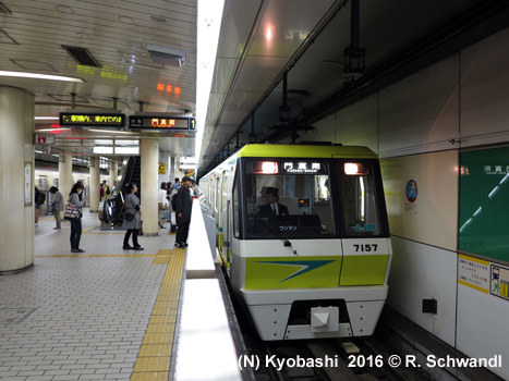
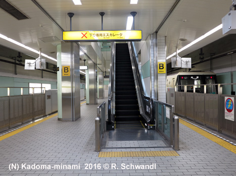
| Nagahori-Tsurumi-ryokuchi Line (N) |
|
Kadoma-Minami
- Taisho
|
|
|
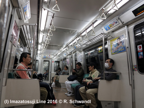
| Imazatosuji Line (I) |
|
Imazato
- Itakano 24 Dec 2006 Imazato - Itakano |
|
|
|
|
|
Other
Rapid Transit Systems in the Osaka Metropolitan Area
|
| .. |
|
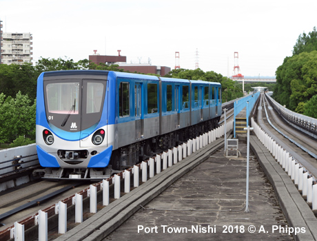
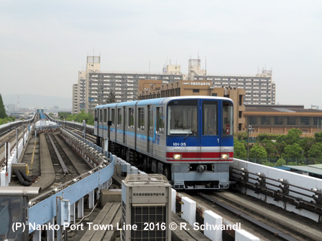
Nanko Port Town Line (P) |
|
Suminoekoen - Cosmosquare 7.9 km, 10 stations, automatic elevated pneu light metro, also referred to as "new tram" 16
March 1981 - Nanko Port Town Line (New Tram) Nakafuto - Suminoekoen The section Nakafuto - Cosmosquare was part of the 3.7 km OTS "Nanko Technoport Line" (Osakako - Nakafuto), including a 2.2 km underwater rail/road tunnel; it opened on 18 December 1997, but was fully integrated into the Subway Chuo Line and the Nanko Port Town Line on 30 June 2005. The Nanko Port Town Line is now fully integrated with the Osaka Subway system. |
|
|
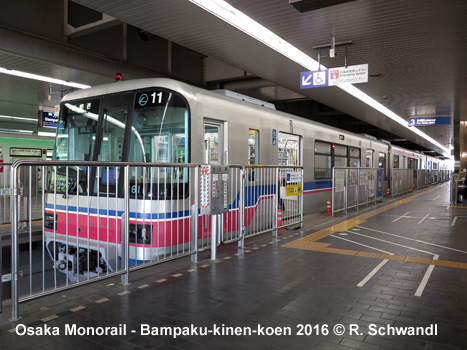
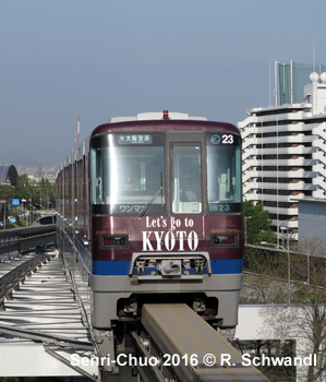
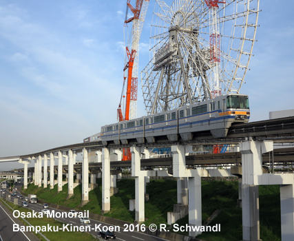
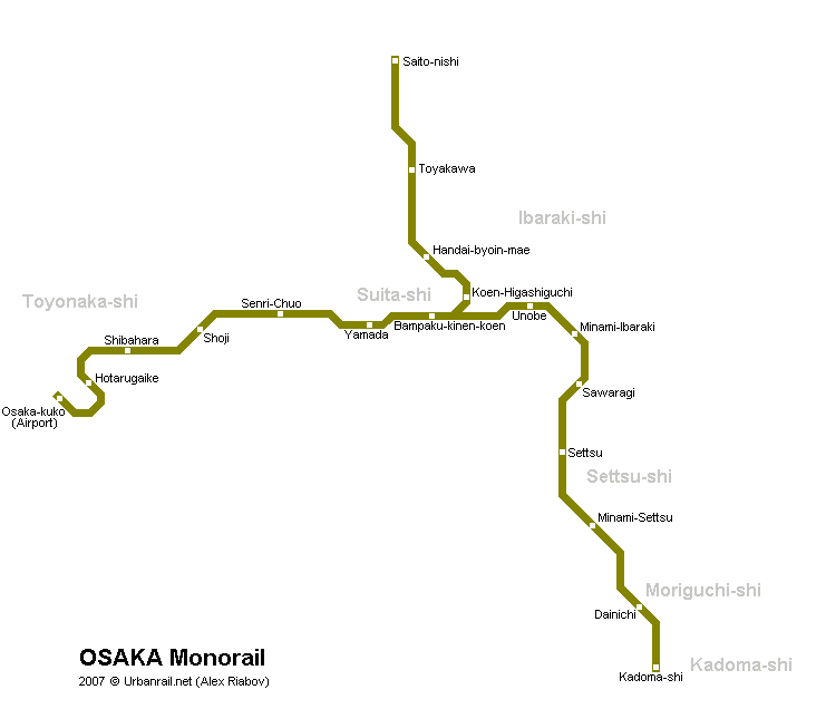
| Osaka Monorail |
|
Osaka Airport - Kadoma-shi / Saito-nishi 28 km - 18 stations 01 June
1990: Senri-Chuo - Minami-ibaraki The main
line (21.2 km and 14 stations) runs on a tangential semi-circle route
along the northern suburbs of Osaka from Osaka Airport to Kadoma-shi.
It does not reach the city of Osaka but intersects with the several railway
services to Osaka, including Hankyu Takarazuka Line at Hotarugaike,
Kita-Osaka Kyuko Line at Senri-Chuo that provides through service
with Osaka Subway Midosuji Line, Hankyu Senri Line at Yamada, Hankyu
Kyoto Line at Minami-Ibaraki, Osaka Subway Tanimachi Line at Dainichi
(eastern terminus), and with Keihan Main Line at Kadoma-shi. See the map of Osaka Monorail here |
|
|
|
Links
|
|
Osaka Metro Official Website Osaka Monorail (Official site) Osaka Metro at Wikipedia Osaka Monorail at Wikipedia BLOG: Read your webmaster's impressions of Osaka's Subway & Monorail (May 2016)
|
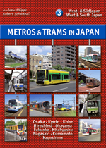
| Book |
|
METROS & TRAMS in JAPAN - Vol. 3: West & South Osaka - Kyoto - Kobe - Okayama - Hiroshima - Kitakyushu - Fukuoka - Nagasaki - Kumamoto - Kagoshima The third volume of our trilogy about urban rail systems in Japan covers all the systems in West and South Japan, from the metros in Osaka, Kyoto and Fukuoka to the different special transit systems like monorails and people movers, and to the numerous tramways, including Japan's largest network in Hiroshima. As usual, the book is illustrated with a large number of recent colour photos and detailed network maps.
Text: German & English; 160 pages, ca. 300 photos; Detailed network maps |
| Photos |
2011 © UrbanRail.Net by Robert Schwandl.
 The
city of Osaka has a population of almost 3 million inhabitants. It is
the centre of a metropolitan region with some 18 million people, including
the cities of Kyoto and Kobe.
The
city of Osaka has a population of almost 3 million inhabitants. It is
the centre of a metropolitan region with some 18 million people, including
the cities of Kyoto and Kobe.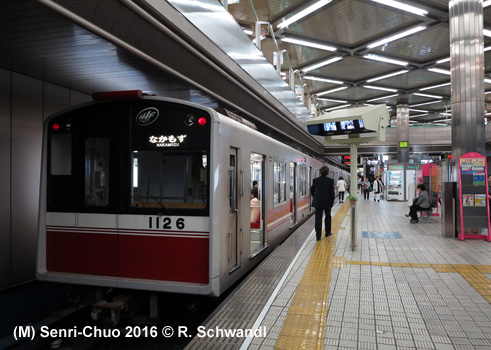