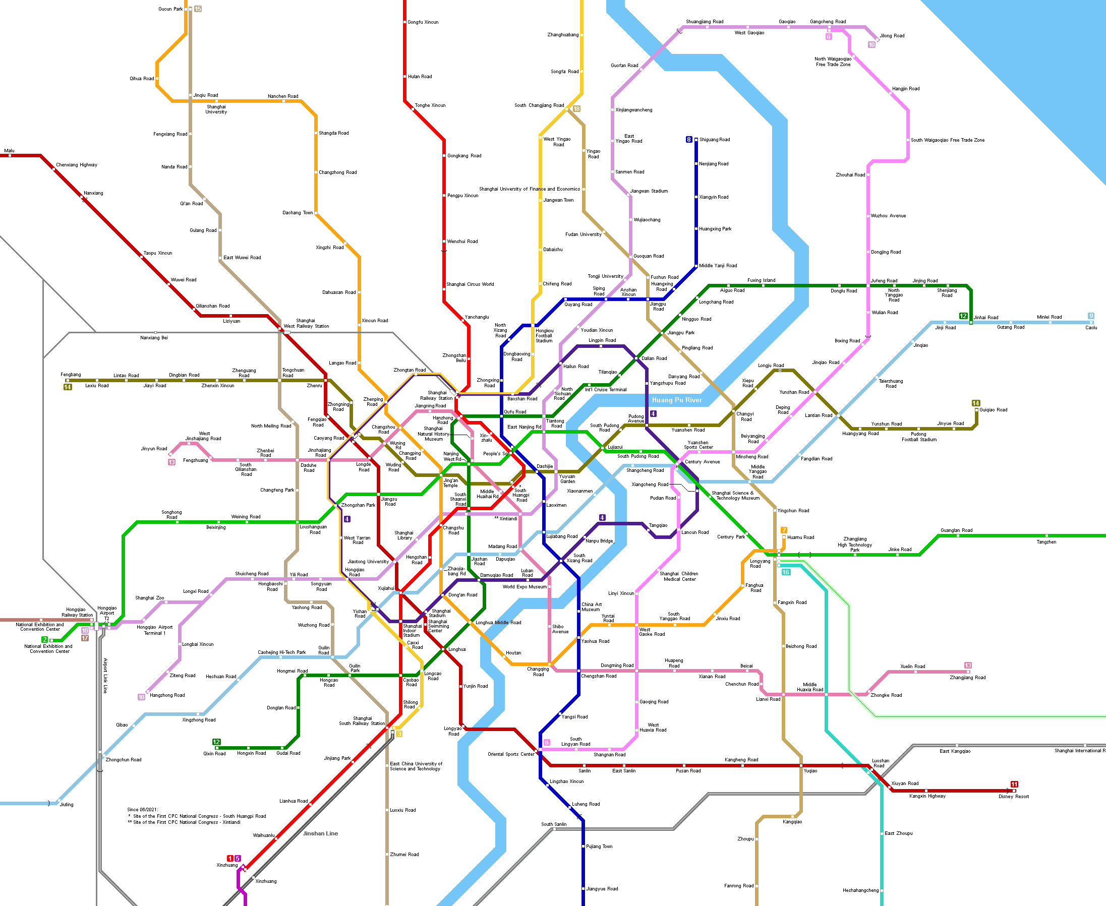
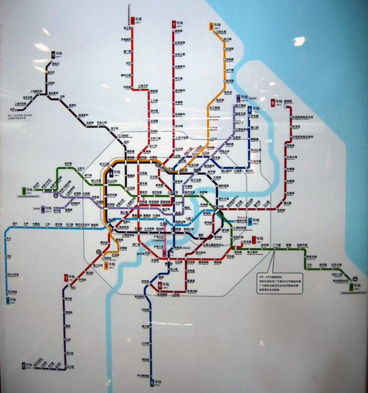
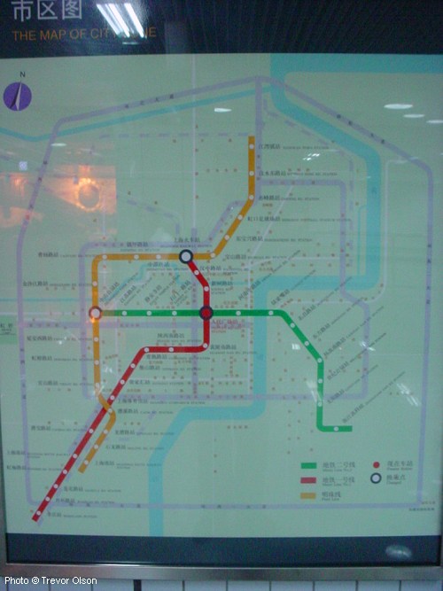
To view the entire network click here!
| System | ||
|
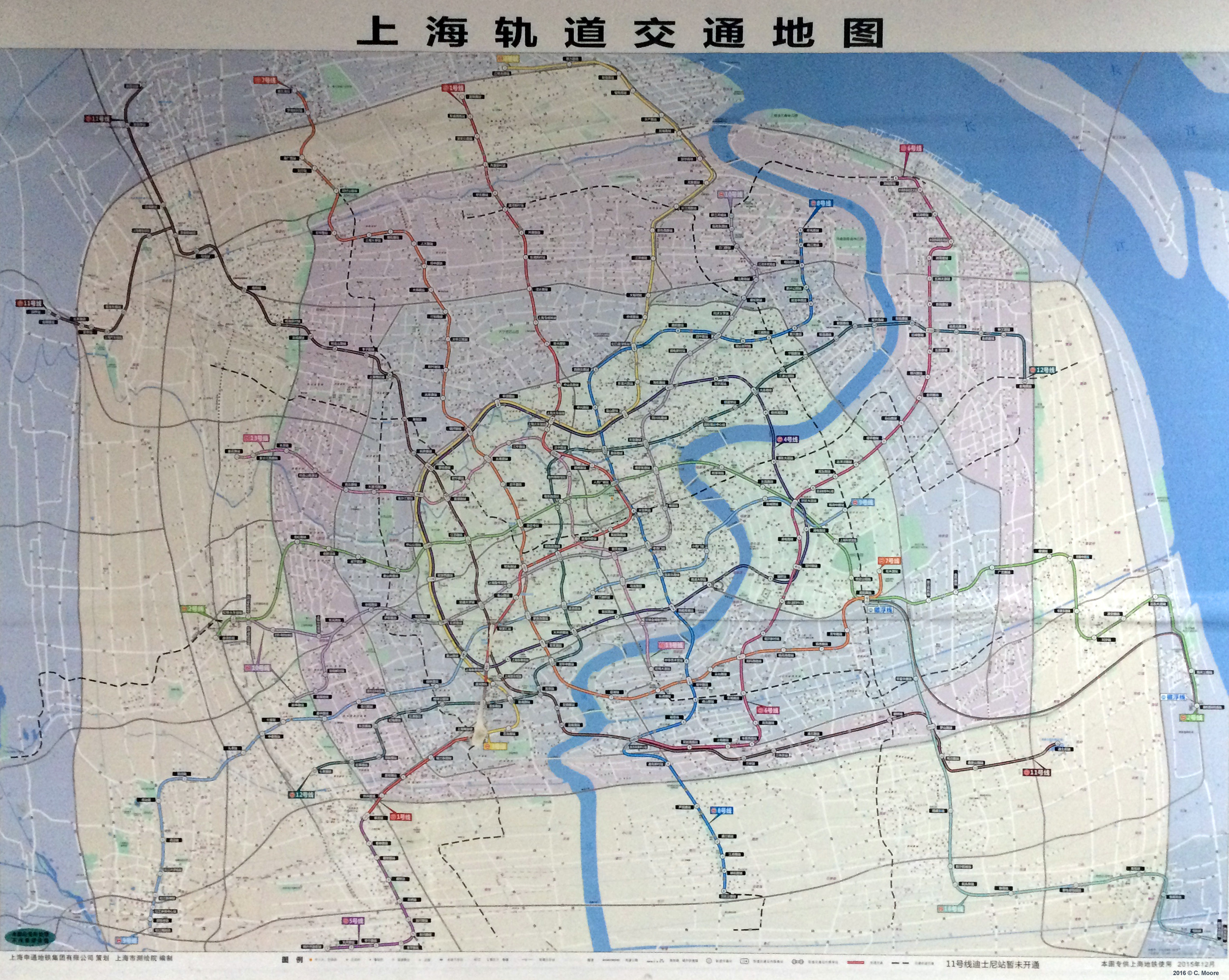
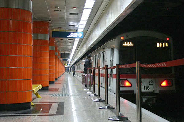
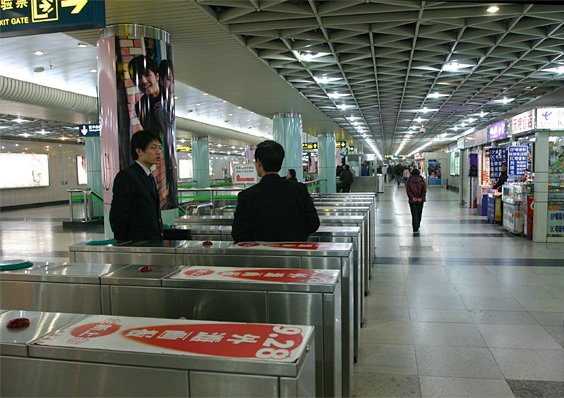
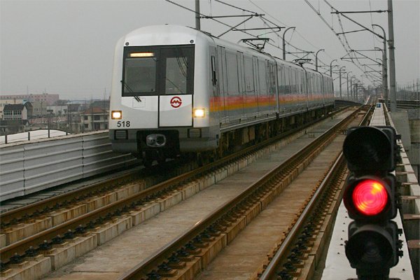
The Shanghai metro is among the most rapidly expanding in the world. After the first line opened only in 1995 as a north-south axis from the Central Station to the southern suburbs, by the end of 2015, the Shanghai Metro system had reached a total length of 531.5 km (excluding the 29 km Maglev line and the 56.4 km Jinshan Line)! Unless where stated otherwise, all the metro lines are operated by Shanghai Metro Operation Co. Ltd., and they have 1435 mm standard gauge, with 1500 V dc being supplied via an overhead catenary. Standard platforms are 150-190 m long. |
||
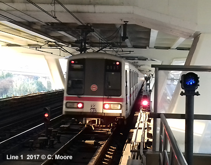
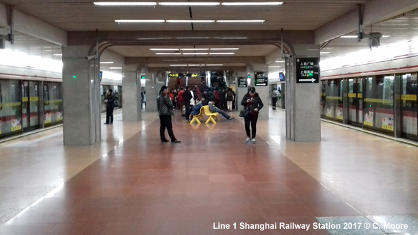
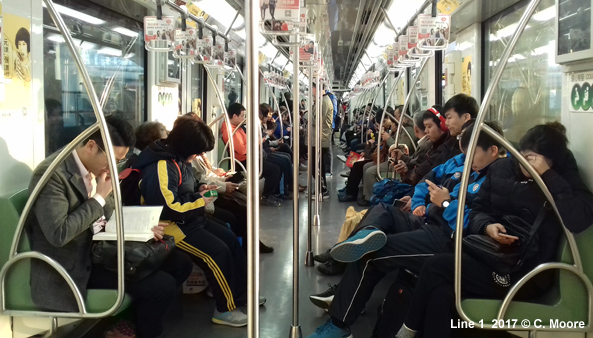
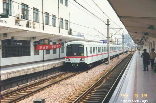
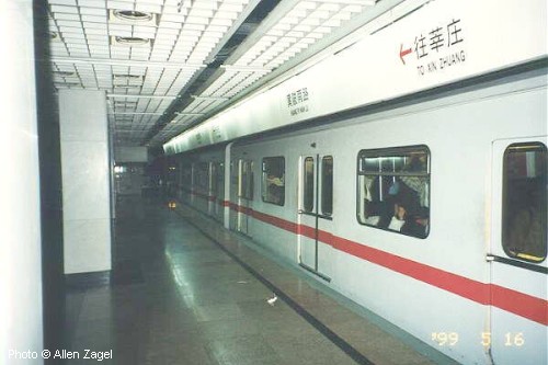
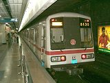
| Line 1 | Fujin Road — Xin Zhuang | |
|
36.4 km, 28 stations 10 April
1995: Shanghai Railway Station - Jin Jiang Park (16.1 km, 13
stations)
|
||
|
|
||
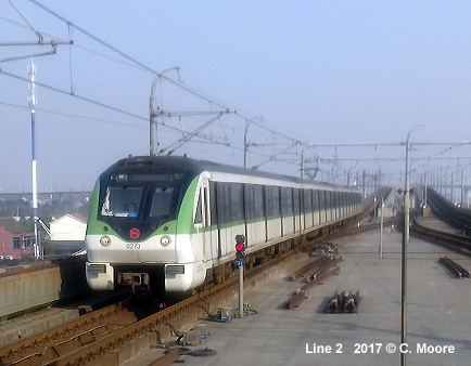
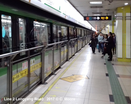
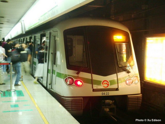
| Line 2 | Panxiang Road — Pudong Airport Terminal 1 & 2 | |
|
61.5 km, 31 stations 28 Oct
1999: Zhong
Shan Park - Long Yang Rd (16.4 km - 12 stations) (regular service
since 13 June 2000) |
||
|
|
||
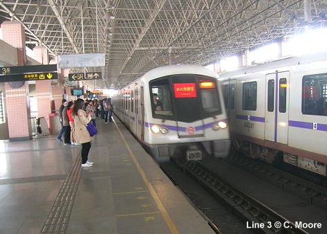
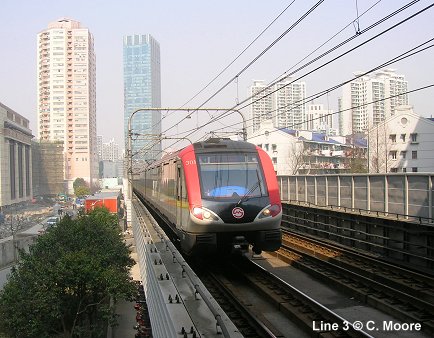
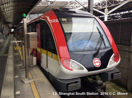
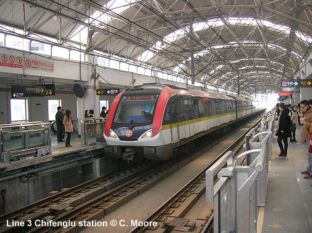
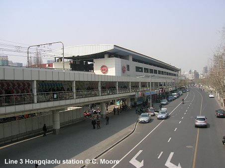
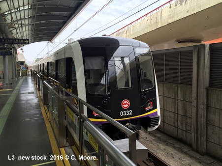
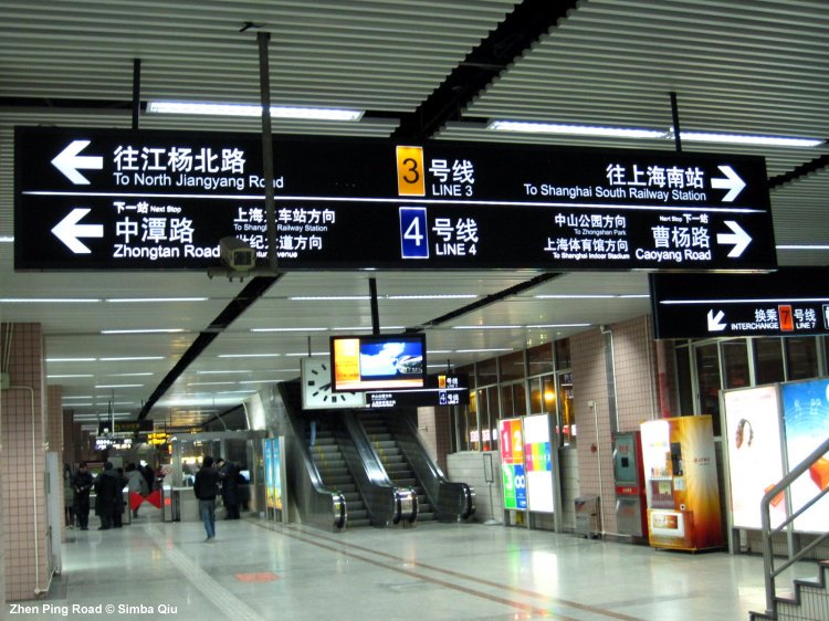
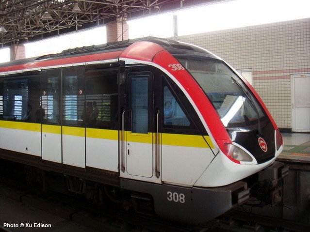
| Line 3 | North Jiang Yang Road — Shanghai South Railway Station | |
|
40.3 km, 29 stations (11.9 km and 9 stations shared with Line 4) 26 Dec
2000 - Shanghai
South Railway Station - Jiang Wan Town (trial operation: 24.6
km, mostly elevated) The third line, initially referred to as the 'Pearl Line', was developed out of a former ring railway, mainly elevated, to run from Baoshan Steel Complex in the north via Shanghai Railway Station to Cao Xi Rd. in the south. After several months of trial operation, full service started in Aug 2001. |
||
|
|
||
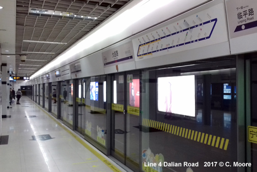
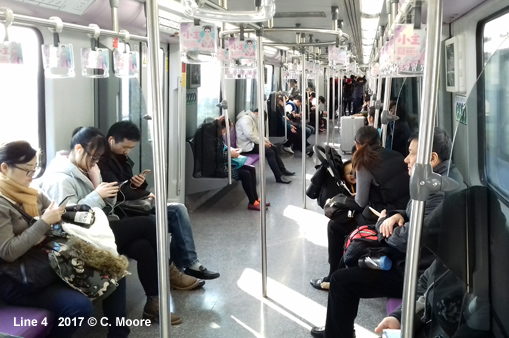
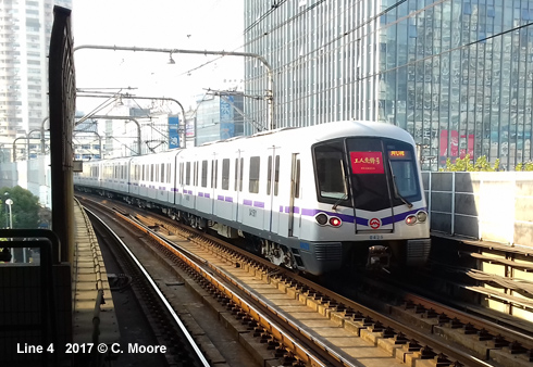
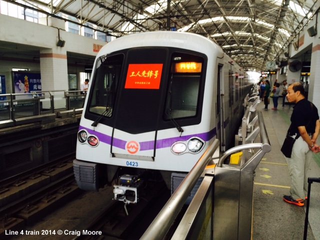
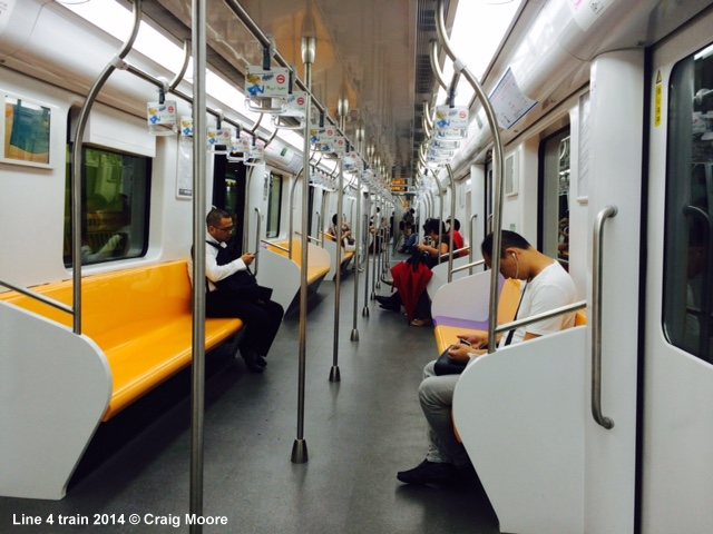
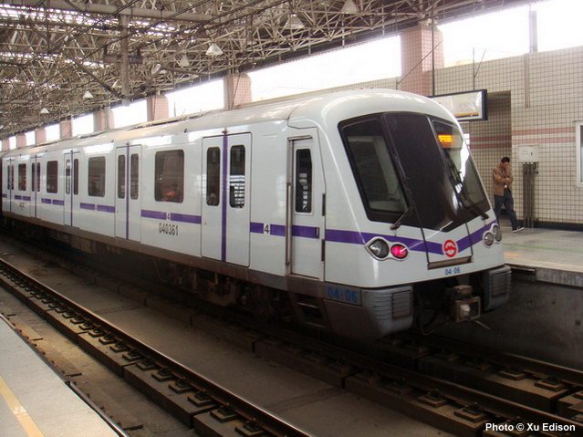
| Line 4 | Circle Line (Shanghai Railway Station — Century Ave — South Xi Zang Rd — Yi Shan Rd) | |
|
33.7 km, 26 stations (11.9 km and 9 stations shared with Line 3) 31 Dec
2005: Bao Shan Road - Lan Cun Road and Da Mu Qiao Road -
Yi Shan Road The second phase of the original 'Pearl Line' (Line 4) runs through Pudong along Oriental Road. This line forms a circle with the existing Pearl Line, linking Bao Shan Road station and Yi Shan Road station via Pudong on the east bank of the Huangpu River. The 22.3 km mainly underground line (1.25 km elevated) was scheduled for completion by the end of 2004 (17 stations), but was delayed due to the collapse of a building suffered on the eastern cross-river section. The first stretches opened in Dec. 2005, with the full circle being completed at the end of 2007. |
||
|
|
||
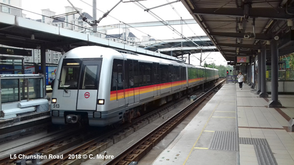
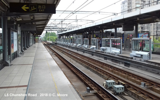
| Line 5 | Xin Zhuang — Min Hang Development Zone / Fengxian Xincheng | |
|
31.2 km; two southern branches; 19 stations 25 Nov
2003: Xin
Zhuang - Min Hang Development Zone
(16.6 km, all elevated) The present Line 5 was initially designed as a southern extension of Line 1 (XinMin Line) to Minhang, but it was eventually opened as a separate line. Platforms are only 80 m long. |
||
|
|
||
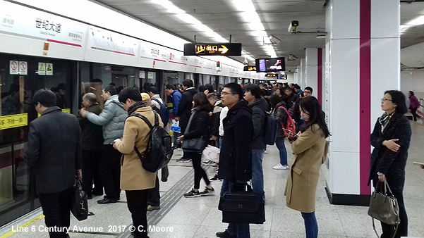
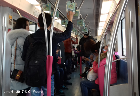
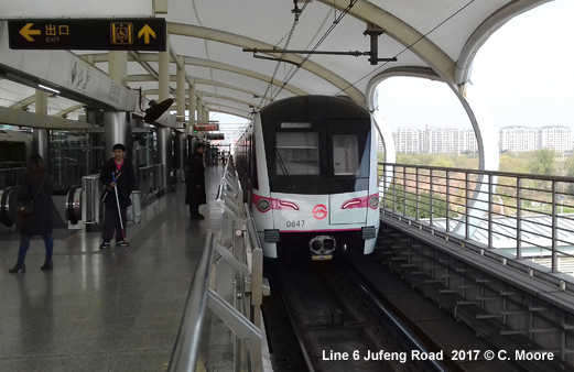
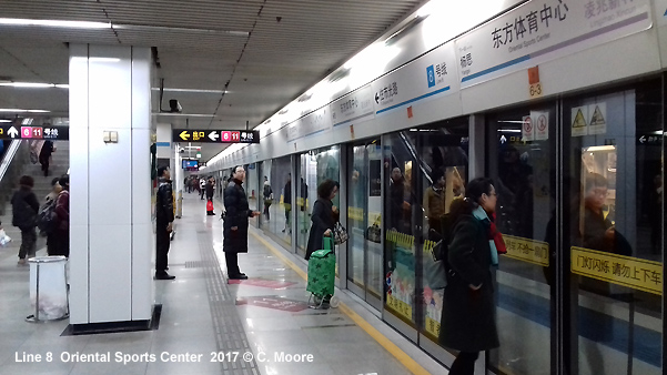
| Line 6 | Gang Cheng Road — Oriental Sports Center | |
|
32.3 km, 28 stations (12.1 km above ground) 29 Dec
2007: Gang
Cheng Road - South Ling Yan Road Like Line 5, also referred to as 'Light Railway' with 80 m long platforms, and operated by Shanghai Modern Rail Transit Co. Ltd. (SMRT). It runs parallel to the Huang Pu River on the Pudong side, from Wai Gao Qiao in the north to San Lin City in the south. |
||
|
|
||
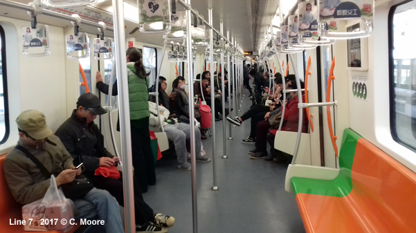
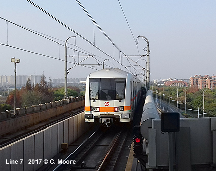
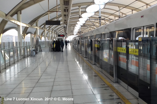
| Line 7 | Meilan Lake — Hua Mu Road | |
|
44.2 km, 33 stations 05 Dec
2009: Shanghai
University - Hua Mu Road |
||
|
|
||
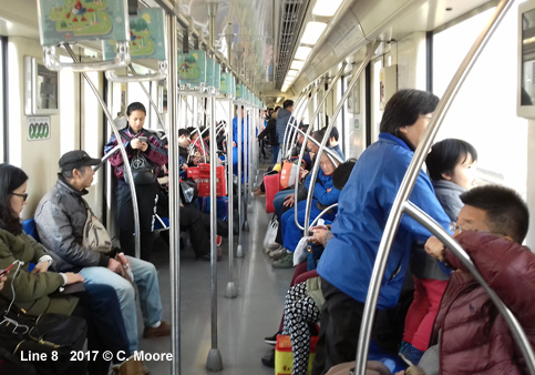
| Line 8 | Shi Guang Road — Shendu Highway | |
|
37.5 km, 30 stations 29 Dec
2007: Shi
Guang Road - Yao Hua Road The 'Yangpu Line' runs from New Jiangwan City in the north to Zhongshan South Rd via People's Square. |
||
|
|
||
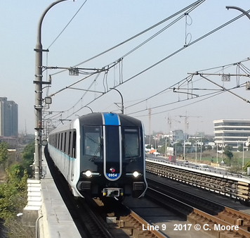
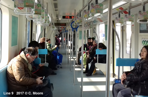
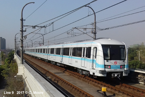
| Line 9 | Shanghai Songjiang Railway Station — Caolu | |
| 63.8
km, 35 stations (approx. 16 km above ground)
29 Dec
2007: Gui Lin Road - Song Jiang Xin Cheng Metro Line 9 (Shensong Line) was conceived as a regional express line (R4), to run from Xu Jia Hui on Line 1 towards the southwest to Song Jiang New City, but it has eventually been developed as a full metro line across the city centre. When it opened in Dec 2007, it was not yet connected to any other metro line. |
||
|
|
||
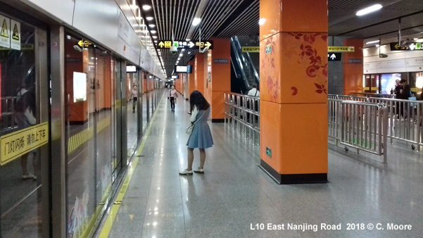
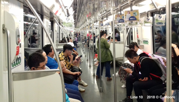
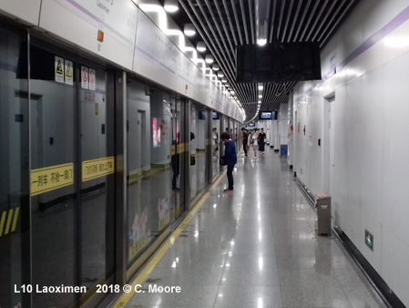
| Line 10 | Jilong Road — Hangzhong Road / Hongqiao Railway Station | |
|
45.2 km, 37 stations (including branch: Longxi Road - Hongqiao Railway Station 5.8 km, 4 stations) 10
Apr 2010:
Xinjiangwancheng - Hangzhong
Road |
||
|
|
||
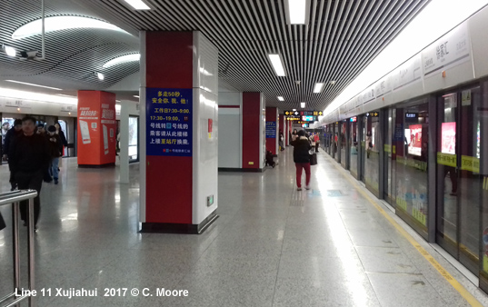
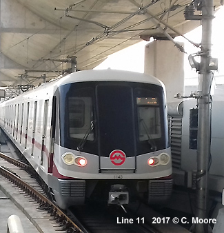
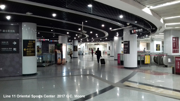
| Line 11 | Huaqiao / North Jia Ding — Disney Resort | |
|
82.4 km, 39 stations 31
Dec 2009:
North Jia Ding - Jiangsu Road |
||
|
|
||
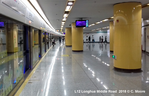
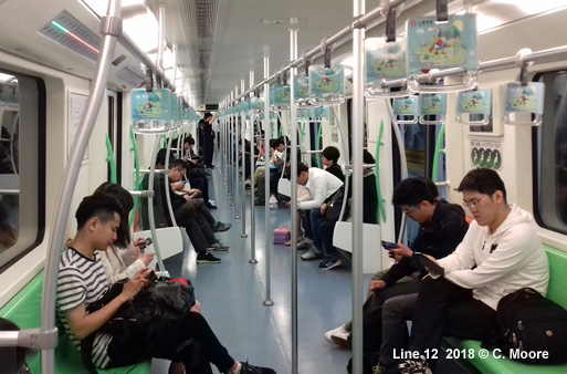
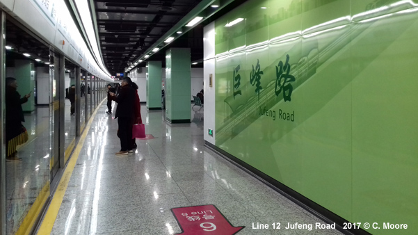
| Line 12 | Jinhai Road — Qixin Road | |
|
40.4 km, 32 stations 29
Dec 2013: Tiantong
Road - Jinhai
Road |
||
|
|
||
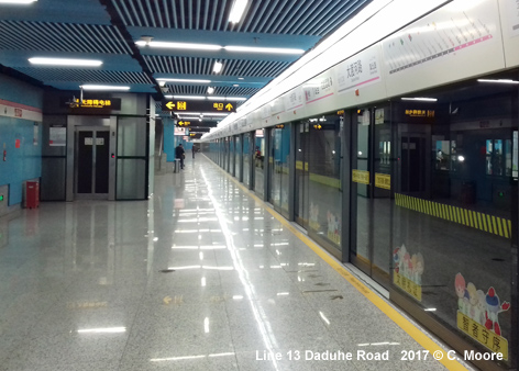
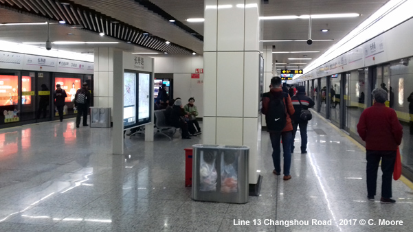
| Line 13 | Jinyun Road — Shibo Avenue | |
|
38.8 km, 31 stations 20 Apr
2010: Madang Road - Shibo Avenue (Expo)* 30 Dec
2012: Jinshajiang Road - Jinyun Road *Operated as the 4 km 'Expo Line' shuttle, between Madang Road (interchange with Line 9) and the Expo. |
||
|
|
||
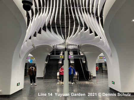
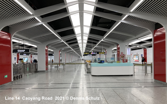
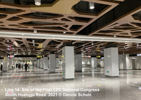
| Line 14 | Fengbang — Guiqiao Road | |
|
38.2 km, 31 stations 30
Dec 2021: Fengbang - Guiqiao Road (38.2
km) |
||
|
|
||
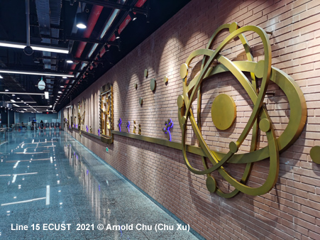
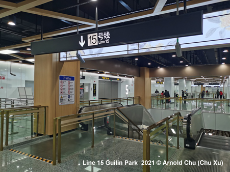
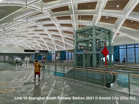
| Line 15 | Gucun Park — Zizhu Hi-tech Park | |
|
42.3 km, 30 stations, all underground north-south line: 23
Jan 2021: Gucun
Park - Zizhu Hi-tech Park (42.3 km)
|
||
|
|
||
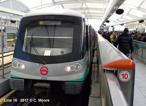
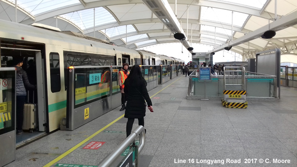
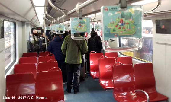
| Line 16 | Longyang Road — Dishui Lake | |
|
59 km, 13 stations 29
Dec 2013: Luoshan Road
- Dishui Lake
|
||
|
|
||
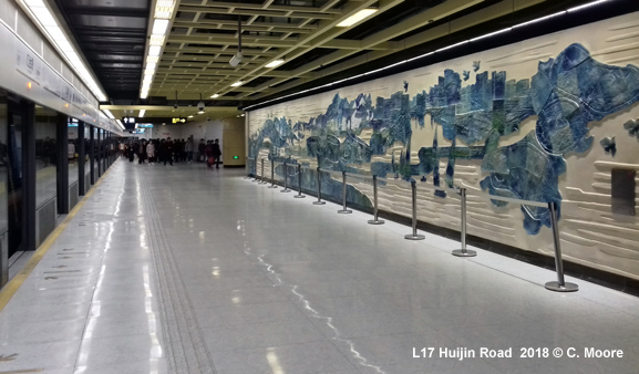
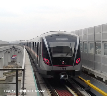
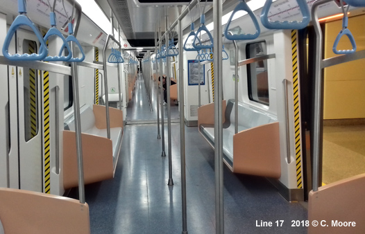
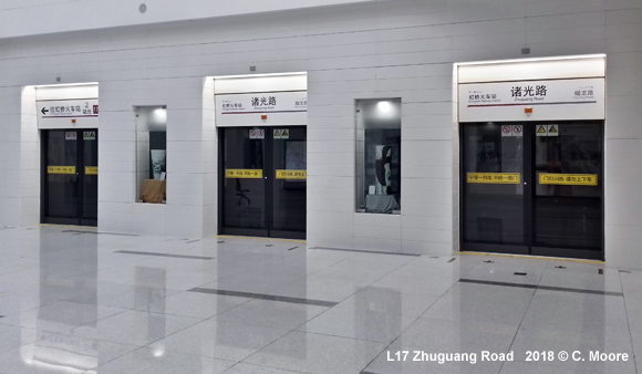
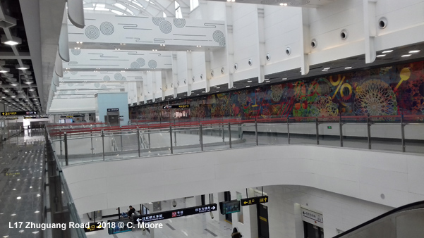
| Line 17 | Hongqiao Railway Station — Xicen | |
|
41.3 km, 14 stations; partly elevated, partly underground suburban line in the western area of Shanghai: 30
Dec 2017: Hongqiao
Railway Station
Oriental Land (34.7 km)
|
||
|
|
||
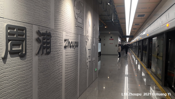
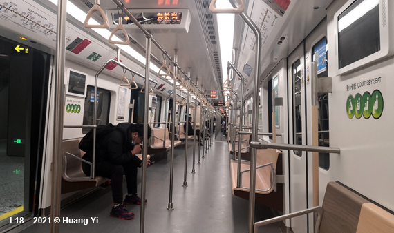
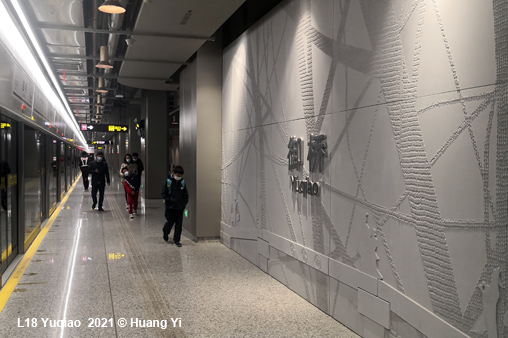
| Line 18 | Kangwen Road — Hangtou | |
|
Tangential line through the eastern area of Shanghai: 26
Dec 2020: Hangtou
- Yuqiao (14.5 km)
|
||
|
|
||
|
|
||
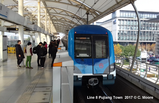
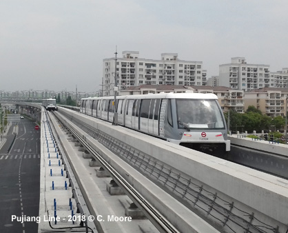
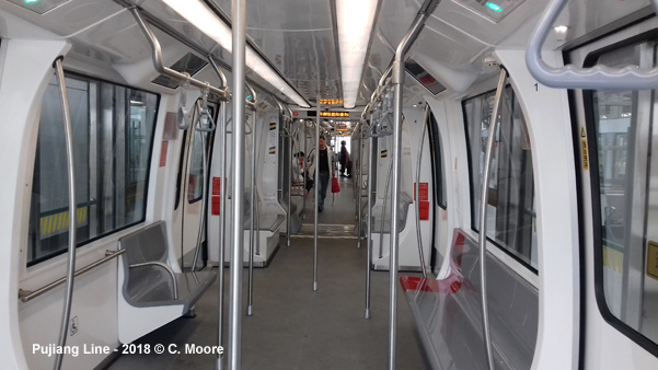
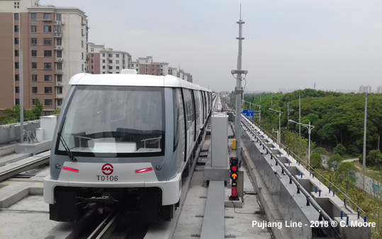
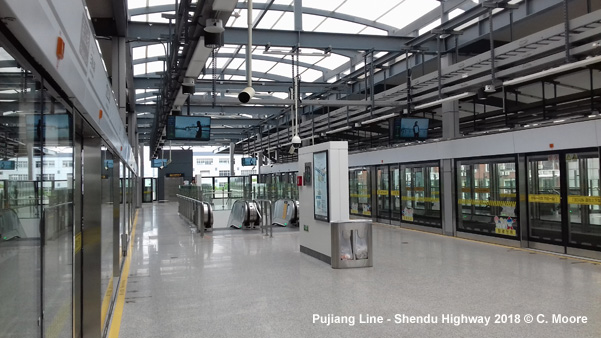
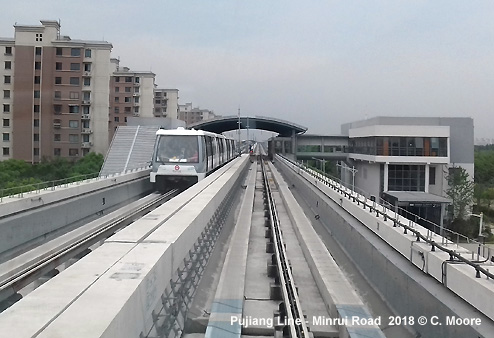
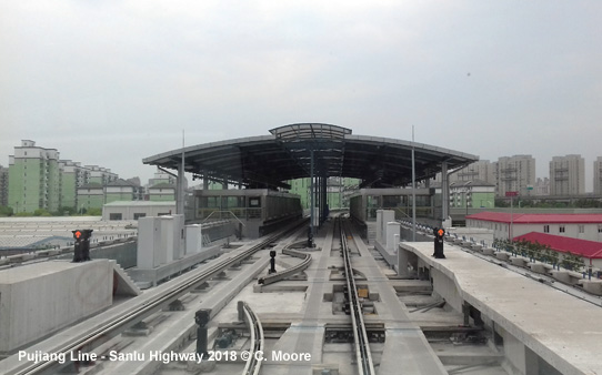
| Pujiang Line | Shendu Highway — Huizhen Road | |
|
6.7 km rubber-tyred APM system (automatic people mover), elevated, fromerly planned as line 8 extension 31 March 2018: Shendu Highway - Huizhen Road
|
||
|
|
||
| Jinshan Line | Shanghei Nanzhan - Jinshan | |
|
56.4 km, 9 stations - suburban express line operated by Jinshan Railway Co. Ltd., initially referred to as Line 22 28 Sept
2012: Shanghei Nanzhan (Shanghai South Station)
- Jinshan |
||
| Airport Link Line | ||
|
27 Dec 2024: Hongqiao Airport T2 Pudong Airport T1&2 (59 km) |
||
|
|
||
|
|
||
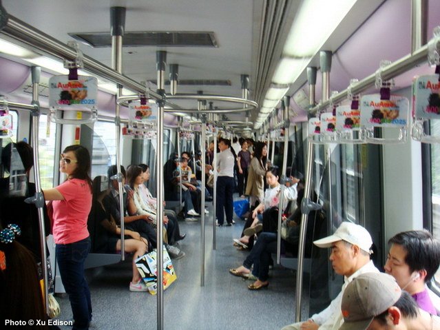
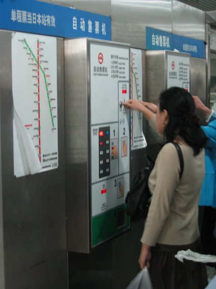
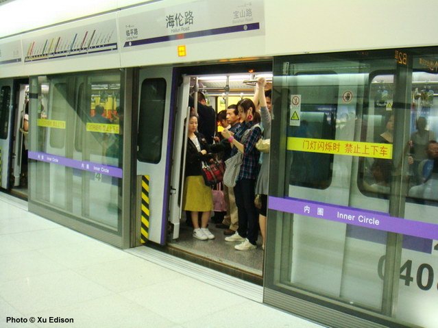
| Photos | ||
|
||
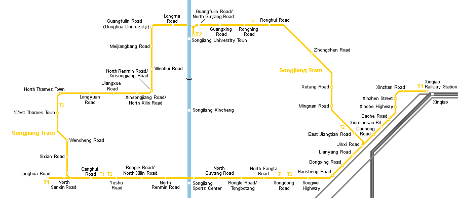
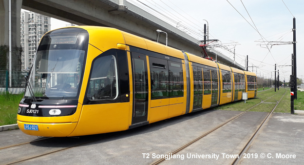
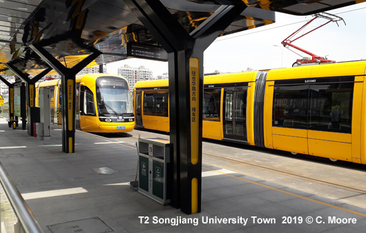
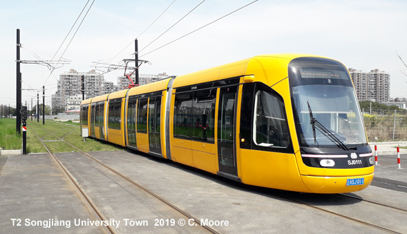
| Songjiang Tram | ||
|
Conventional tram system in the southwestern suburb of Songjiang, linked to central Shanghai by metro line 9; line T2 operates as a circular line. - route
length: ~34 km
|
||
|
|
||


| Projects |
|
Several extensions and new lines are currently under construction (view map) - for details check Wikipedia
|
| Photos |
 |
|
|
| Links |
|
Shanghai
Shentong Metro Co.
Ltd
(Official Website) Shanghai Metro at Wikipedia Explore Shanghai > Metro by Matt Mayer Allen Zagel's China Rail includes more Shanghai Subway Pictures Shanghai Metro Map at Johomaps.com Metro Map 2008 that calculates fares and travel time Zhangjiang Tram at Wikipedia Shanghai Metro lines at Baidu Maps |
| Photos |
|
|

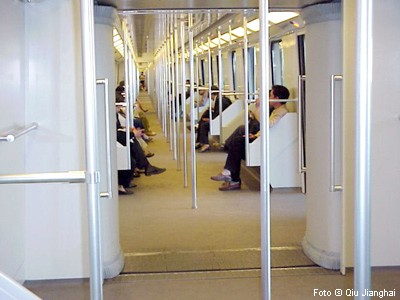
These pictures by kind permission of Qiu Jianghai
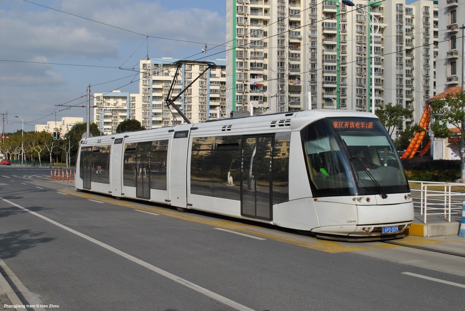
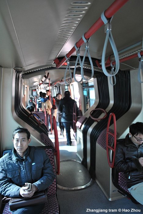
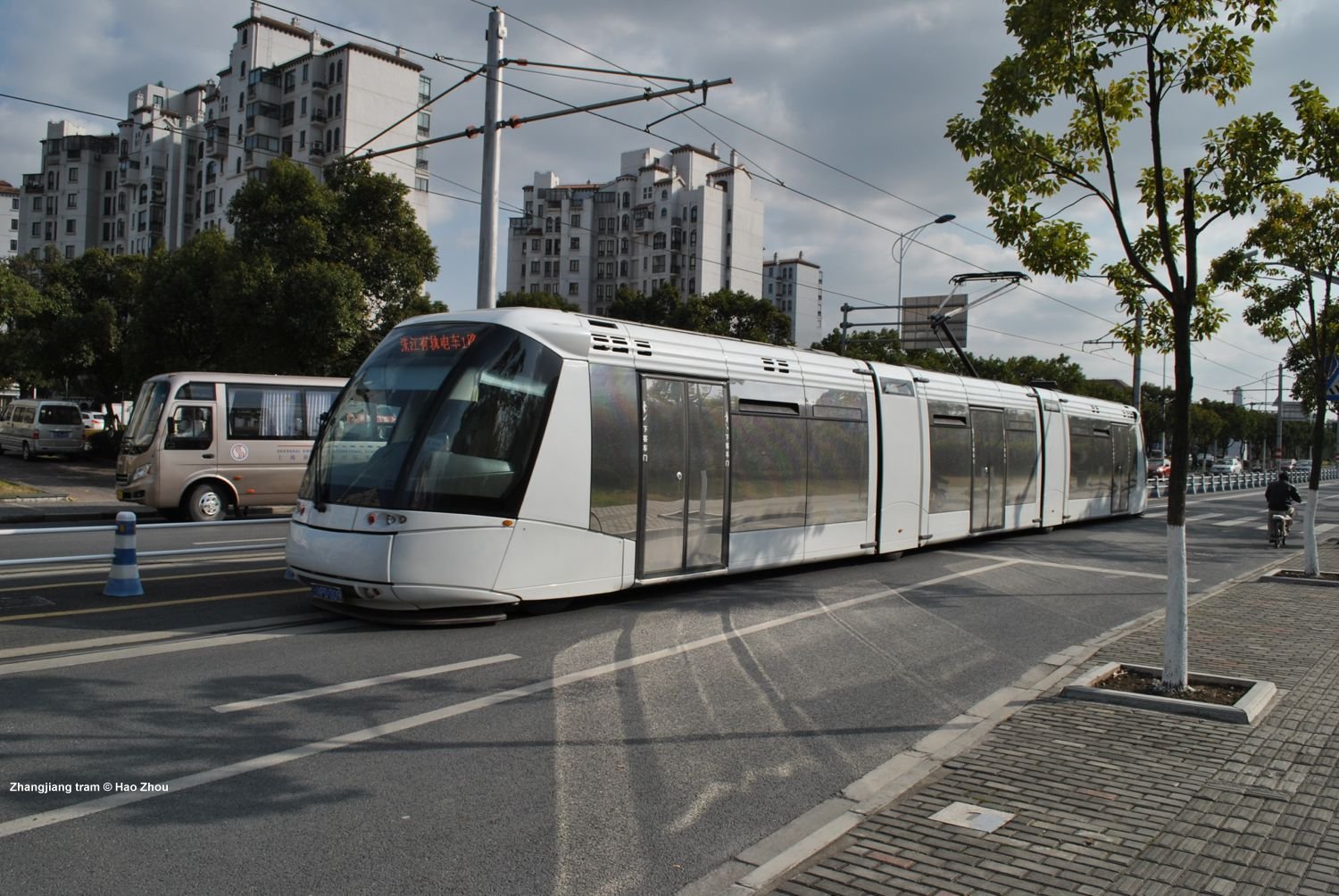
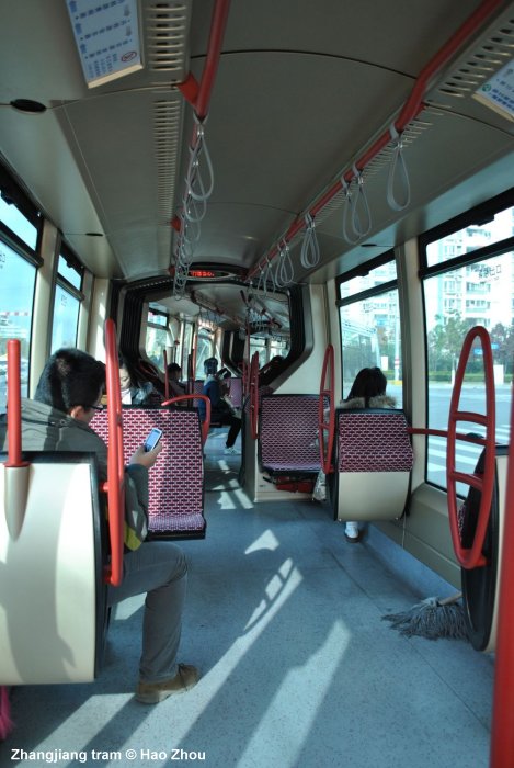
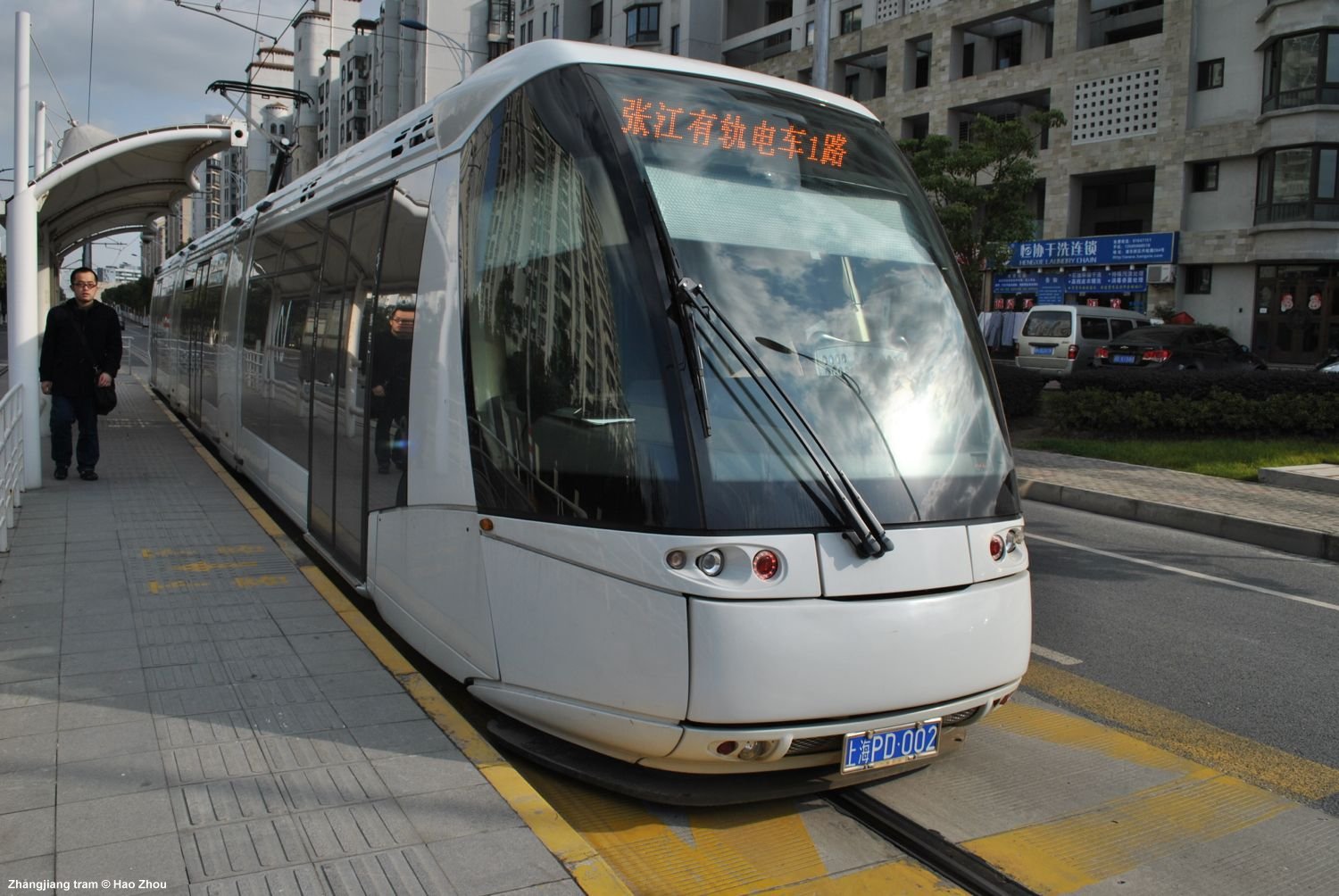
| Zhangjiang Tram | ||
|
Rubber-tired tram system with Translohr technology (central guide-rail) in eastern part of Pudong
- route length: 10 km |
||
 |
||