|
[ UrbanRail.Net ] [ Europe ] [ Americas ] [ Asia ] [ Africa ] [ Oceania ] [ News ] [ Books ] [ Links ] [ Blog ] [ Shop ] |
|
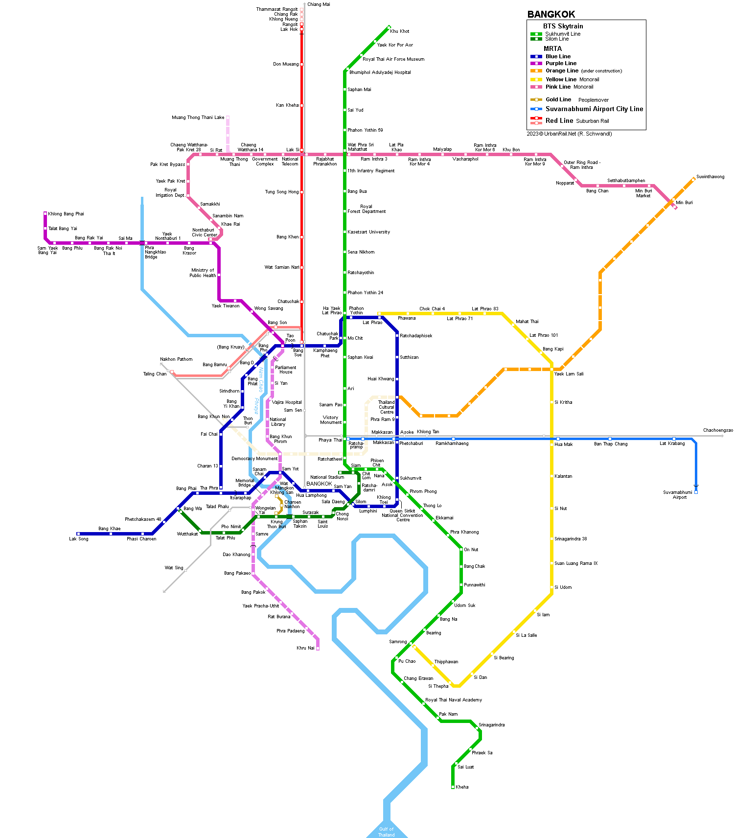
BANGKOK
|
| Thailand |
|
System
|
||
|
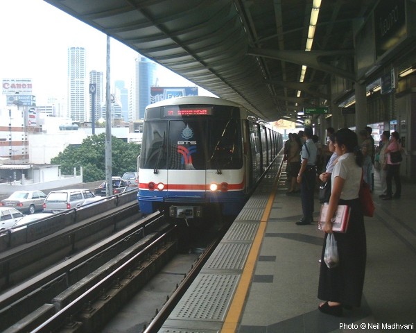
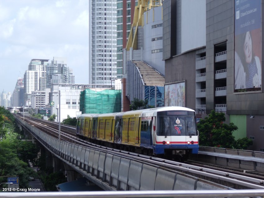
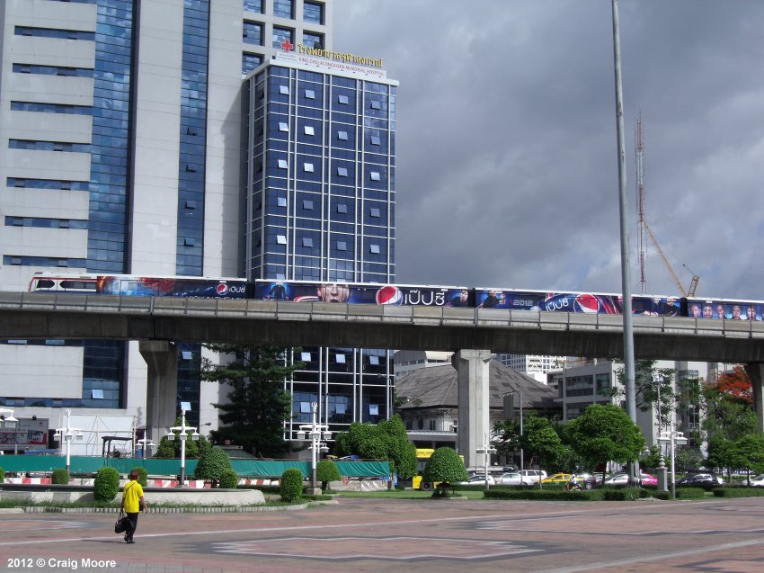
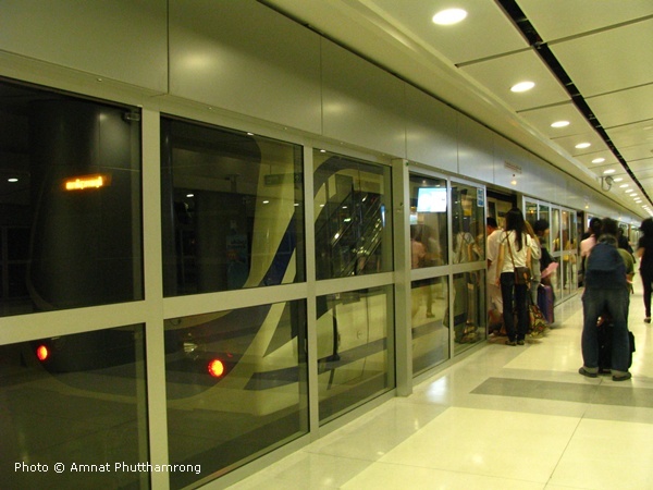
The present Bangkok mass transit system comprises two different types of metros: 1) the elevated BTS system, the so-called Skytrain - rot fai fah in Thai, and 2) the underground MRT subway. Although BTS and MRT use similar technology (trains, signalling & train control), there is no track connection between them. All MRT stations are equipped with platform-screen-doors, which initially did not apply to any BTS station (in the meantime, the busiest have been retrofitted with half-height gates). Besides the mass transit rail systems, Water Buses provide a fast transport service on the Chao Phraya River; at present, transfer to the BTS system is only possible at Saphan Taksin station. |
||
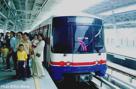
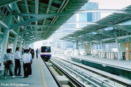
| Green Lines (BTS-Skytrain) | ||
|
This is
a completely elevated system built by Siemens as a turnkey project, opened
in 1999, initially 23 km long with 23 stations. In 2021, the BTS system
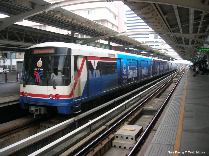
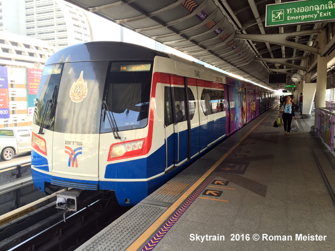
consists of two lines: Track gauge is 1435 mm and power supply is via third rail at 750 V DC. The original 3-car trains were 65 m long (a fourth car was added to all trains between 2012 and 2013), air-conditioned and run at an average speed of 35 kph. Saphan Taksin station on the Silom Line was only planned as a temporary station, but as it offers an excellent connection to the Water Buses on Chao Phraya River, it remains open after the extension to Wongwian Yai, although the single-track section at Saphan Taksin station limits the capacity on the Silom Line. 05 Dec 1999:
basic BTS network 15 May 2009:
Silom Line Saphan Taksin - Wong
Wian Yai (2.2 km)
|
||
|
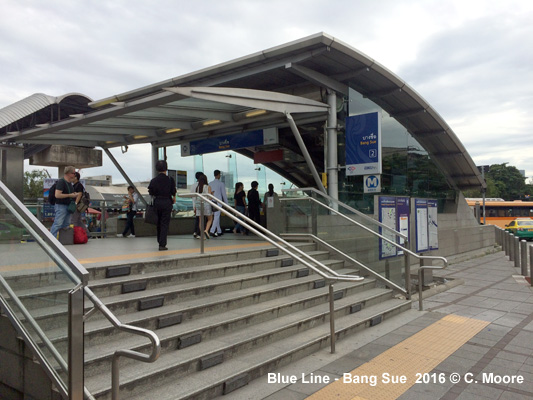
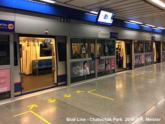
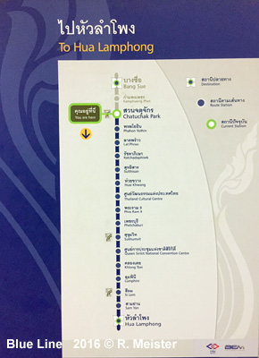
MRT Blue Line (BEM) |
||
|
In August 1997 construction work began on this 21 km underground full metro with 18 stations; it finally opened for trial service in April 2004. In December 2001, Siemens was awarded the contract to build 19 three-car trains for this line and to provide the necessary operating equipment. This is an MRT line (MRTA) but BEM (formerly BMCL) is the operator via a concession contract from the MRTA. A 1-station extension from Bang Sue to Tao Poon was eventually completed in Aug 2017 to create an interchange with the Purple Line. The standard Blue Line station has an island platform on level -3. Sam Yan, Silom and Lumphini stations have side platforms on different levels, each with trains to Bang Sue on level -2, and trains to Hua Lamphong on level -4, whereas Bang Sue and Khlong Toei stations have two side platforms on the same level. Thailand Cultural Centre is much bigger than other comparable stations: the Blue Line stops on level -3, while level -2 is prepared to accommodate the Orange Line in the future. The surface Blue Line depot is connected directly to both Thailand Cultural Centre and Phra Ram 9 stations. A track connection between Blue and Orange Lines will be made via this depot. 13 April 2004: trial service 03
July 2004:
Bang Sue - Hua Lampong (normal
revenue service) |
||
|
MRT Purple Line (BEM) |
||
|
Elevated metro line: 16 stations, 23 km; Construction started early 2010, opened in Aug 2016. (Website) Like the Blue Line, this is an MRT line (MRTA) operated by BEM (formerly BMCL) via a concession contract from the MRTA. 06 Aug 2016: Tao Poon - Khlong Bang Phai
|
||
|
Orange Line |
||
|
Metro line - under construction (see below)
|
||
|
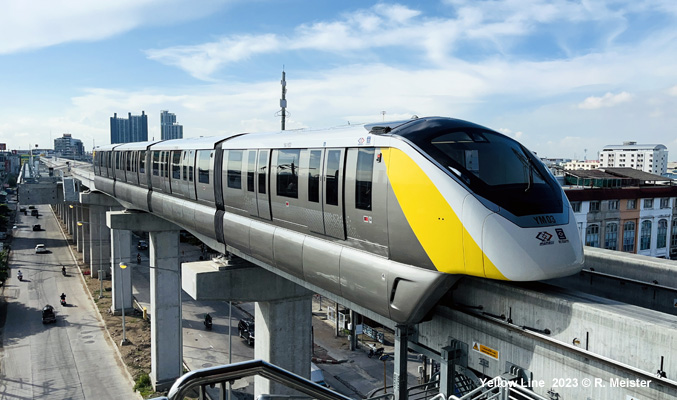
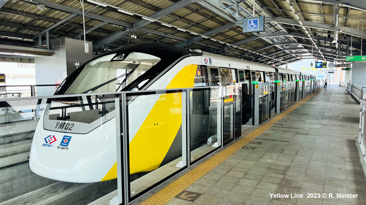
Yellow Line |
||
|
Monorail line through the southeast of the metropolitan area: 03 June
2023: limited trial operation
|
||
|
|
||
|
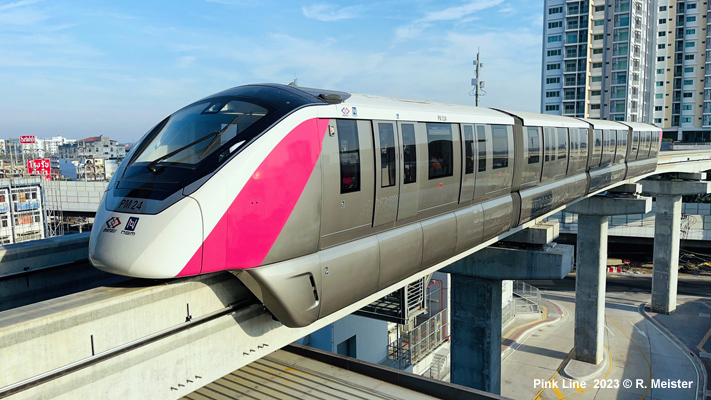
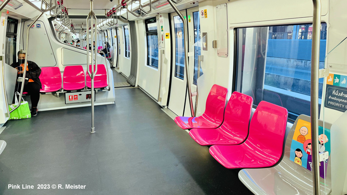
Pink Line |
||
|
Monorail line through the northern suburbs, operated driverless with Bombardier Innovia Monorail 300 trains. 21 Nov 2023: Nonthaburi Civic Center Min Buri (34.5 km) (free trial service > 07 Jan 2024: full service) 20 May 2025: Mueang Thong Thani Lake Mueang Thong Thani (2.8 km) (free trial service > 17 June 2025: full service)
|
||
|
|
||
|
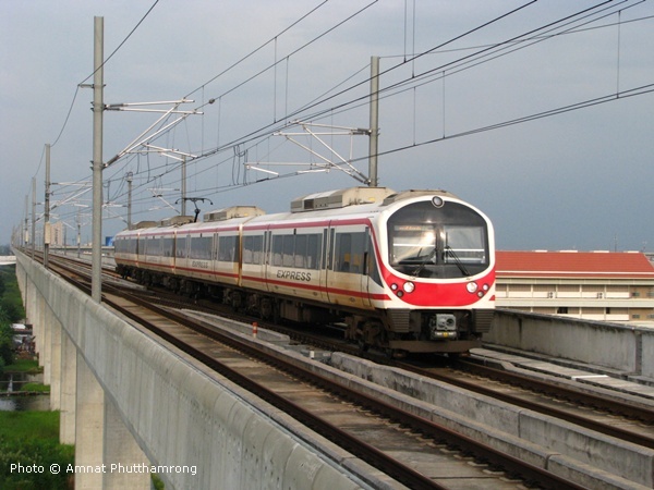
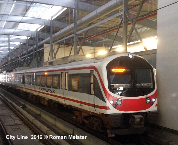
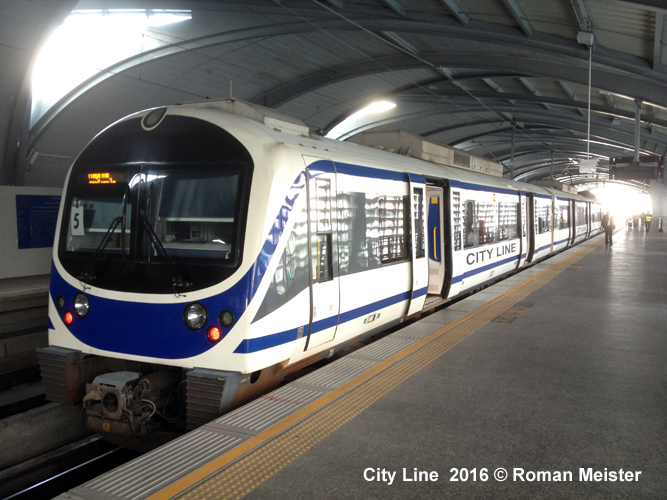
City Line & Airport Rail Link |
||
|
28 km elevated line with 8 stations, standard gauge, from Phaya Thai via Makkasan/City-Terminal to Suvarnabhumi Airport, every 15 minutes, shared with special non-stop airport express which departs from Makkasan/City-Terminal, opened for commercial operation on 23 August 2010. After some years, however, the Airport express trains were discontinued, and the red trains now also operate as all-stops City Line trains. 23 Aug 2010: Phaya Thai - Suvarnabhumi Airport
|
||
|
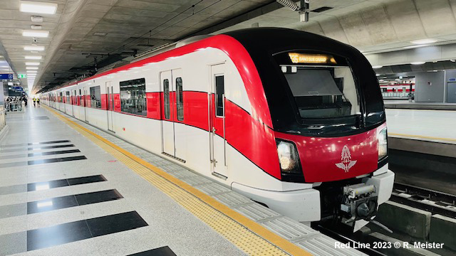
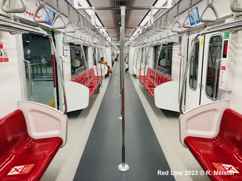
Red Line |
||
|
Suburban rail service (elevated, 1000 mm gauge) heading north and west from new Bang Sue terminal, with free trial service finally launched in Aug 2021 (every 30 minutes 06:00-20:00; every 15 minutes during rush hour), while full revenue service started on 30 Nov 2021 (05:30-24:00), with a train every 20 minutes: 02 Aug 2021:
Bang Sue - Rangsit (26 km)
|
||
|
|
||
|
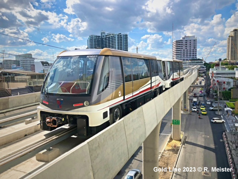
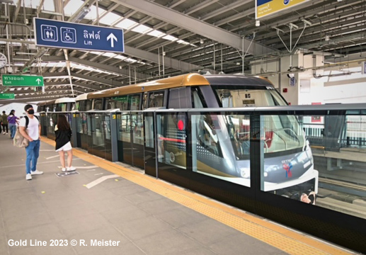
Gold Line |
||
|
The
Gold Line is an automatic peoplemover linking Krung Thonburi on the Silom
Line with Klong San, serving the Icon Siam shoppping mall at the intermediate
Charoen Nakorn station 16 Dec 2020: Krung Thonburi - Klong San; 1.72 km, 3 stations
|
||
|
|
||
|
Projects |
||
|
BTS Light
Green Line (Sukhumvit) North: BTS
Dark Green Line (Silom)
West: MRTA
:
3) Purple
Line southern extension (Tao Pun Wong Wian Yai Phra Padeang): 23.6
km 17 stations (12.6 km 10 stations underground, 11km 7 stations elevated)
(Construction started in June 2022, for completion in Dec 2027) SRT
Airport Rail Link (ARL): SRT: Suburban
Rail System (elevated, 1000 mm gauge) (Website): 1)
Light
Red Line west extension (Taling Chan Salaya): 14.8 km, 4 stations. (Current
tender) View
all urban rail projects on Google
Maps!
|
||
|
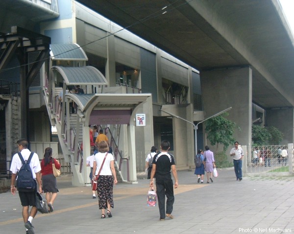
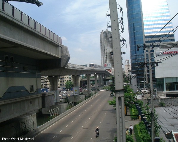
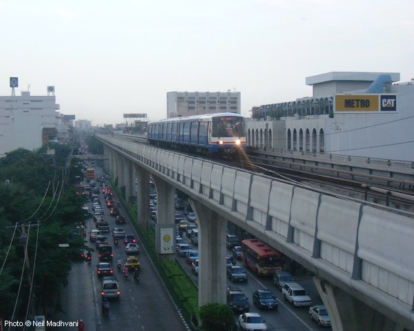
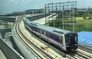
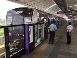
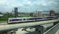
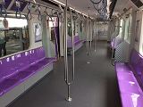
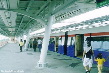
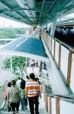
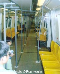
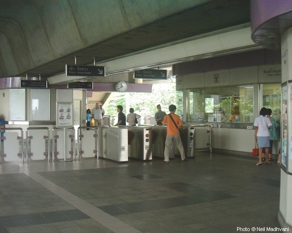
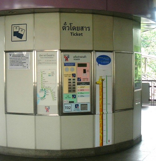
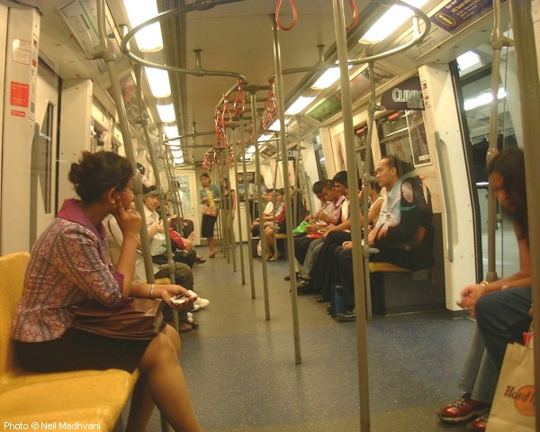
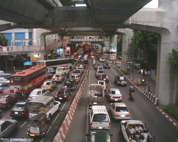
Photos
|
||
|
|
||
|
|
||
|
|
||
|
Links
|
||
|
Bangkok Metro (BEM) (Blue & Purple Lines - official website) MRTA Mass Rapid Transit Authority of Thailand Bangkok Skytrain and Bangkok Metro at Wikipedia Suvarnabhumi Airport Link at Wikipedia 2bangkok.com (News about Mass Transit) [BLOG] Read your webmaster's impressions of the BANGKOK Urban Rail System (Jan 2019) |
||
|
|
||
2007 © Robert Schwandl (UrbanRail.Net)