 |
|
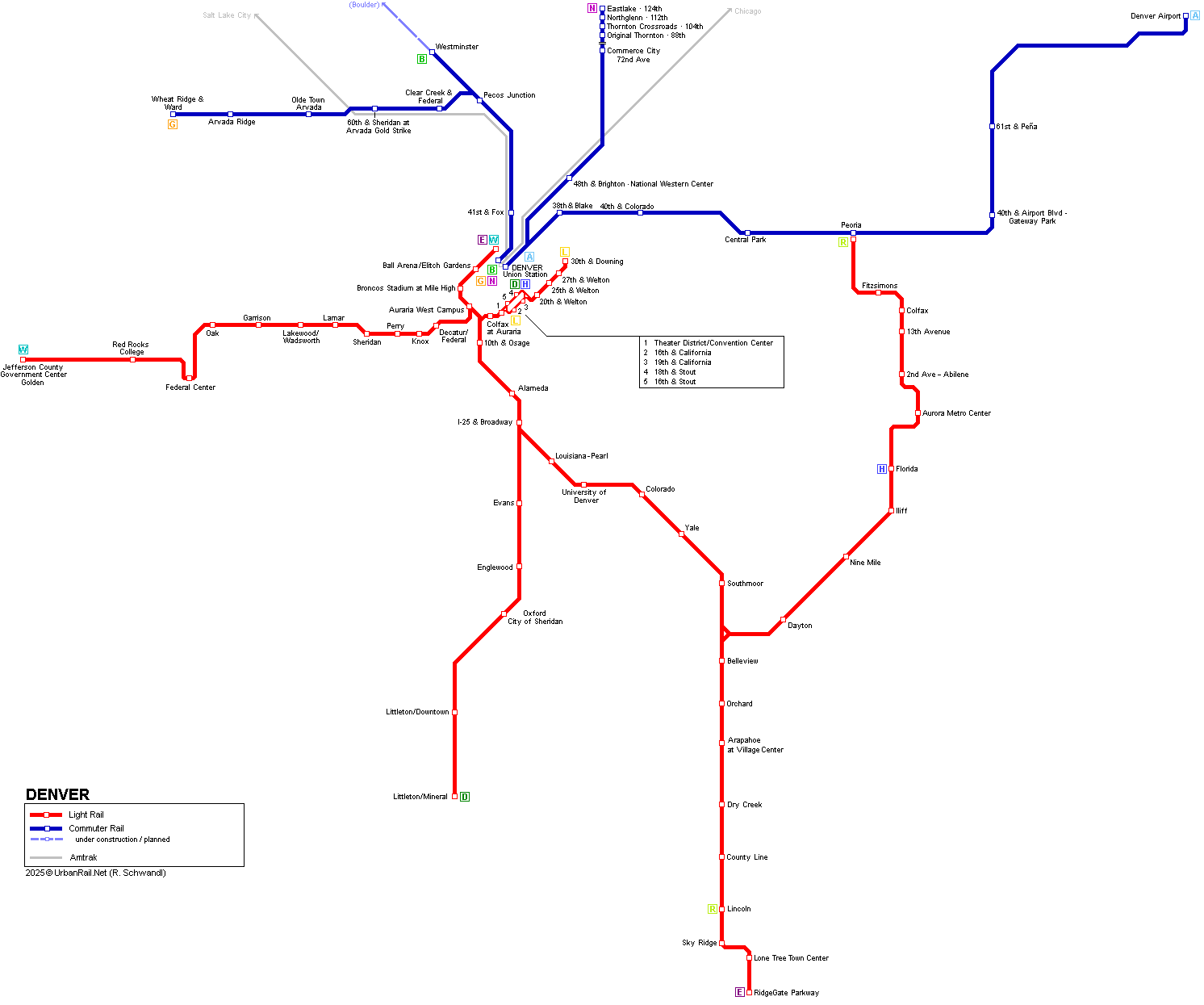
| DENVER | |
|
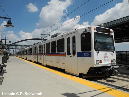
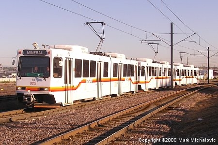
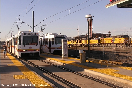
Denver (Colorado) - 600,000 inh (metropolitan area: 2 million). Denver's metropolitan area is now served by two urban rail systems, a classic American light rail system (with high-floor cars using low-floor platforms) in the south and west and a suburban rail system predominantly in the northern parts:
|
|
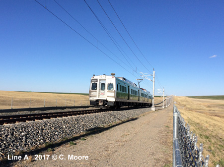
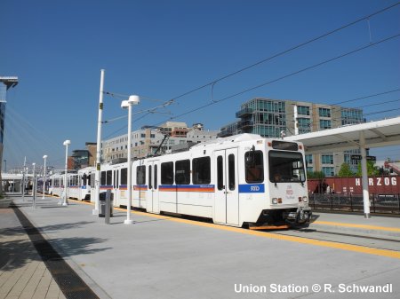
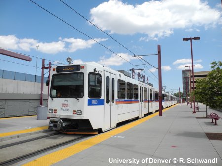
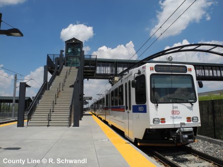
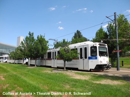
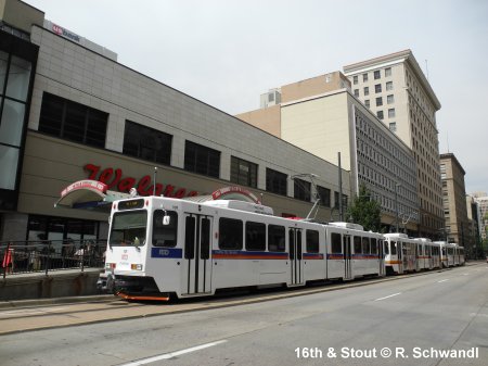
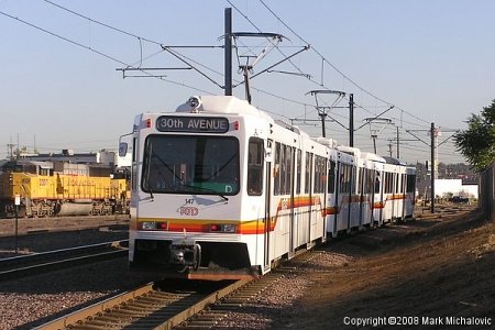
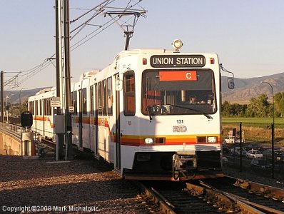
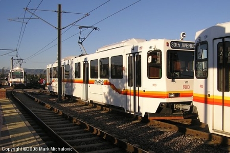
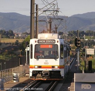
| Light Rail | |
|
(~94 km in 2019) operating 6 lines* which share certain sections: History: *08 Jan 2023: [C] Union Station - Littleton/Mineral and [F] Downtown Loop - RidgeGate Parkway discontinued |
|
|
|
|
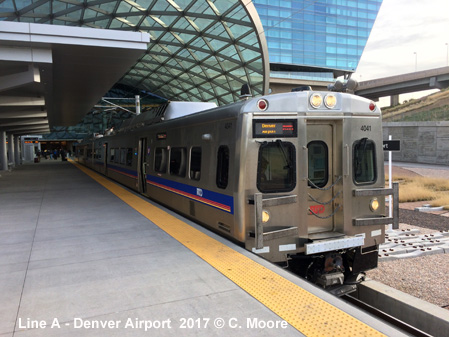
| Suburban Rail (Commuter Rail) | |
|
22 April
2016: A Line (University of Colorado A Line) > Union Station
- Denver Airport, 36.8 km; every 15 min |
|

 |
|
| Links | |
|
Regional Transport District (Official Website) Denver Transit Partners (Commuter Rail construction) Denver Light Rail at Wikipedia Denver Light Rail at Calvin Henry-Cotnam's website Denver Light Rail at NYC Subway.org Platte Valley Trolley (Heritage Streetcar Line) Read your webmaster's personal impressions of the Denver Light Rail system (July 2012)
|
SUBWAYS
& LIGHT RAIL Click here for more info! |
|
(1-3) 10th & Osage; (4-5) Littleton-Mineral |
|
2005 © UrbanRail.Net by Robert Schwandl