|
[ UrbanRail.Net ] [ Europe ] [ Americas ] [ Asia ] [ Africa ] [ Oceania ] [ News ] [ Books ] [ Links ] |
|
CLEVELAND
|
| Ohio . USA |
|
System
|
|
|
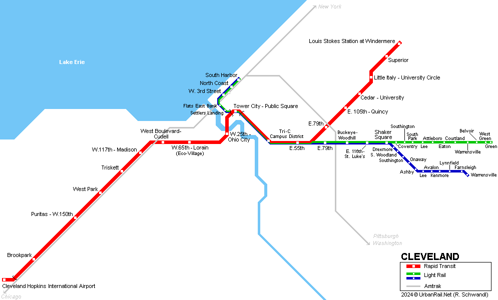
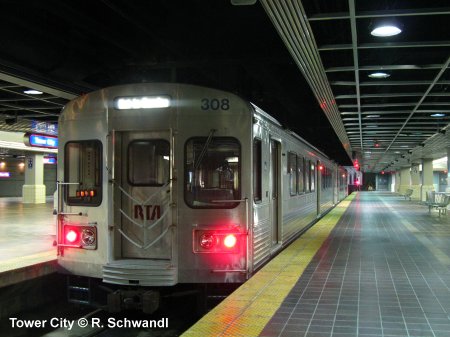
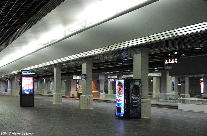
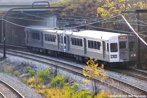
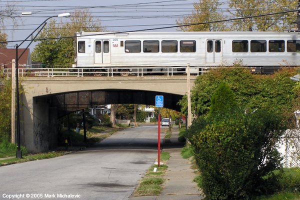
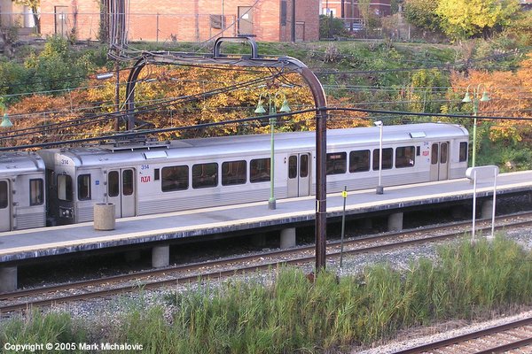
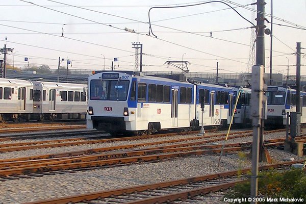
Cleveland, is the centre of a metropolitan area with some 2.9 million inhabitants. It lies in northeastern Ohio, on the south shore of Lake Erie. Cleveland's urban rail system includes one rapid transit line and two light rail lines. Between Tower City - Public Square and E 55th stations, all lines share the same tracks (the three shared stations have separate low-level sections for the light rail vehicles). Both the metro line and the light rail lines are operated by Greater Cleveland Regional Transit Authority (GCRTA). Track gauge is 1435 mm, with overhead power supply (600 V):
|
|
| Red Line | |
|
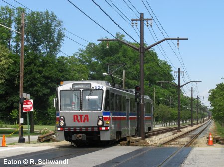
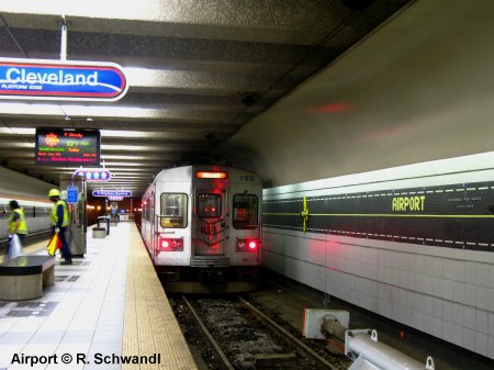
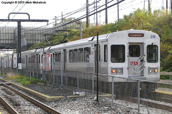
Construction of Cleveland's only metro line began in the 1950's from its eastern terminus Windermere. In 1968 it reached the airport. The Red Line is 31 km long (only 1 km underground at Airport and Tower City) and has 18 stations, average distance between stations is 1820 m. Since 1990, about two thirds of all Red Line stations have been rebuilt or renovated, and the remaining stations are expected to be rebuilt in the future. 15 Mar 1955:
Windermere - Tower City University Circle rebuilt and reopened as Cedar-University on 28 Aug 2014. |
|
|
|
| Light Rail | |
|
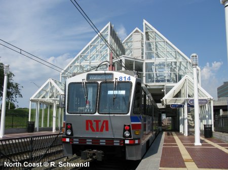
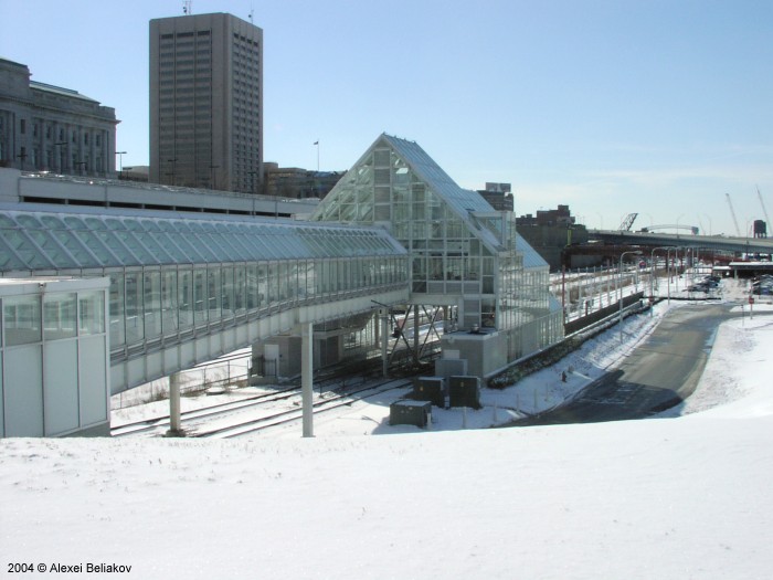
The Blue Line and the Green Line are light rail lines (Shaker Heights Line), which share the Red Line tracks through the city centre. After Shaker Square the Green Line follows Shaker Blvd to Green, while the Blue Line runs along Van Aken Blvd to Warrensville. The Waterfront Line is actually an extension of these rapid tram lines from Tower City towards the harbour area and the American football stadium. The light rail lines diverge from the Red Line in totally grade-separated junctions, both west of Tower City (see station layout) and east of E.55th (see station layout). - Waterfront
line opened 10 July 1996
|
|
|
|
|
|
Photos
|
|

 Photos © Alexei Beliakov (1-2), Mark Michalovic (3-6) |
|
|
Links
|
|
|
RTA - Greater Cleveland Regional TransitAuthority - Official Page Cleveland Rapid Transit on nycsubway.org (inlc. many photos) Jon Bell's Cleveland Page with many photos RTA at Wikipedia
|
Our
Book: USA - Midwest & South
|

 Photos © Mark Michalovic (1-4) |
|
|
|
|
2007 © Robert Schwandl (UrbanRail.Net)