|
[ UrbanRail.Net ] [ Europe ] [ Americas ] [ Asia ] [ Africa ] [ Oceania ] [ News ] [ Books ] [ Links ] [ Blog ] [ Shop ] |
|
ATLANTA
|
| Georgia . USA |
| MARTA | |
|
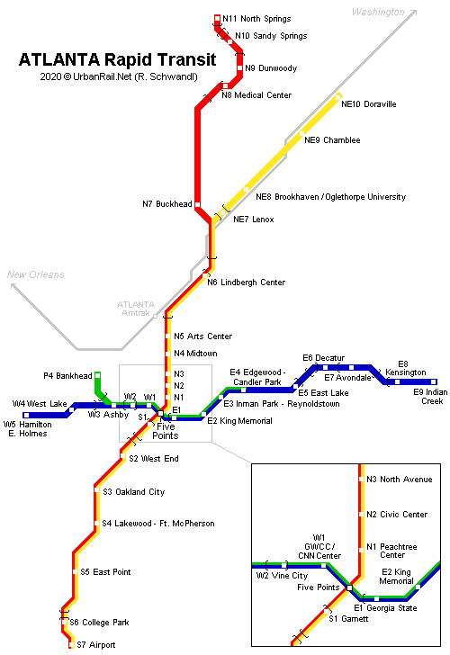
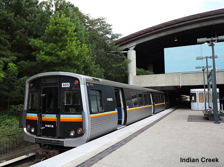
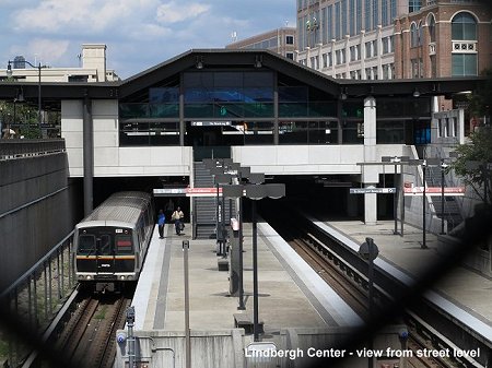
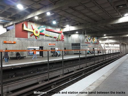
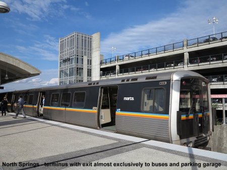
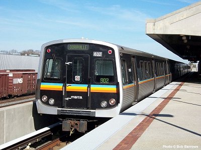
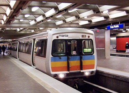
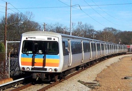
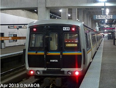
Atlanta is the capital of the US state of Georgia in the southeast of North America. The city (500,000 inhabitants) is the centre of a metropolitan area with some 4 million inhabitants. Due to increasing traffic problems MARTA (Metropolitan Atlanta Rapid Transit Authority) was founded in 1966 to develop a mass transit system for the entire metropolitan area. In the early 1970's a referendum was held and a clear majority voted in favour of a 81 km rail network which included two trunk routes, one north-south and one east-west, plus four branches. Trains should run partly underground in downtown Atlanta (14 km with 10 stations), partly at grade (37 km with 17 stations) and partly elevated (30 km with 10 stations). Later another 5 km were added to the planned network. Construction started in 1975 on a 22 km section which included 17 stations. The first line to be put into service was the East-West Line from Georgia State in the city centre to Avondale (30 June 1979). The same line was extended to Hightower (now Hamilton E. Holmes) in the west in Dec. 1979. The North-South Line began operating between Garnett and North Ave in April 1981. In a second phase, finished in 1987, the North-South Line reached Lenox in the north and Lakewood in the south. During the 1990's further extensions were inaugurated, southwards to Atlanta's International Airport, northwards to Doraville and Dunwoody, westwards a branch to Bankhead (Proctor Creek Line) and eastwards to Indian Creek. The last section to start revenue service was Dunwoody - North Springs (16 Dec 2000), which includes 3.2 km and two stations, Sandy Springs (underground) and North Springs (with large park&ride facilities). Currently the network is 79.2 km long and has 38 stations. Although some branches are still planned there won't be any new extensions in the near future. Most stations are large, bright and user-friendly. They also include artistic elements like murals or sculptures. Average station distance is 2.1 km although this is reduced to 680 m in downtown Atlanta. Platforms are 183 m long to allow use of 8-car trains (normally 6-car trains in service), except Bankhead, which only has an island platform long enough for 2-car trains. In Oct. 2009, the official designations Red Line, Gold Line, Blue Line and Green Line were introduced to replace the formerly used East-West Line, Proctor Creek Line and North-South Line.
|
|
| Photos | |
|
|
|
2014
© Robert Schwandl (More
Photos)
|
|
| History | |
|
30
Jun 1979 Avondale - Georgia State |
|
| Links | |
|
MARTA - Official Page MARTA at Wikipedia Atlanta MARTA System Facts (at New York Subway Resources) includes more details and many pictures Jon Bell's Atlanta Page incl. fotos UrbanRail.Net > Atlanta Streetcar UrbanRail.Net > MARTA Photo Gallery BLOG: Read your webmaster's impressions of the Atlanta rapid rail system (Oct 2014) |
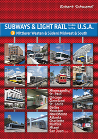
Our
Book: USA - Midwest & South
|
| Photos | |
|
|
|
Photos
© Bob Barrows & NABOB
(More
Photos)
|
|
2007 © Robert Schwandl (UrbanRail.Net)